Browse / Ireland / Kildare / Straffan
Straffan
Kildarevillage

Straffan
Demographic figures from Central Statistics Office (Ireland). Overview below cites Wikipedia and may reference a different year.
City facts
Facts from Wikidata (CC0).
Overview
Straffan is a village in County Kildare, Ireland. It is situated on the banks of the River Liffey, 25 km upstream of the Irish capital Dublin. As of the 2022 census, the village had a population of 1,158, an over three-fold increase since the 2002 census.
Read more on WikipediaHistory & geography
History
The area was ravaged in the wars of 1641–2. The Lords of the Pale who allied with Rory O'More in 1642 included Nicholas Wogan of Rathcoffey (member of the Council of War), Andrew Aylmer of Donadea, Nicholas Sutton of Barberstown, John Gaydon of Irishtown (whose estate included the present Straffan), Garret Sutton of Richardstown and James Eustace of Clongowes. In 1641 Lyons Castle was taken and sacked on the orders of the new LJs William Parsons and John Borlase and two castles belonging to Edward Tipper of Tipperstown burned When James Butler, 12th Earl of Ormond marched into Kildare in 1642, he burned Lyons, Newcastle and Oughterard on 1 February 1642. General George Monck landed in Dublin in February 1642 for the parliamentarians and camped in Straffan (the horses field at Ardrass is named as his camp). Rathcoffey was besieged and taken by Monck in June 1642, 70 of the garrison made prisoners and later executed in Dublin. During the campaign Kildare county was burned "for in length and 25 in breadth." William Petty's Census of 1659 recorded "Barbiestowne" with 36 people and Straffan with 23 people, surnames among them included Byrne, Kelly, Doyle, Malone and Murphy. According to depositions taken after the battle of Ovidstown, a party of 1798 Rebels met at Straffan Bridge including Patrick O'Connor 'a lawyer from Straffan', and spent some time in stables of Straffan Lodge (18 June). In 1803 Straffan men marched to Dublin to join Emmet's rebellion, while Barney Daly's pub in Baronrath was used as a rendez-vous. Local landowner Valentine Lawless, later the second Baron Cloncurry, was sworn into United Irishmen by James O'Coigly. He was elected colonel of United Irishmen in Kildare, was the last proprietor of 'The Press' (United Irish newspaper) and became the…
Geography
Straffan is situated at a low lying point in the Liffey valley and is surrounded by flood meadows along the Liffey and River Morell. Agriculture is important to the local economy. Since the 18th century, Straffan farmers were prominent in the prize lists at events run by the Royal Dublin Society. The research station for the agriculture department of University College Dublin is situated at nearby Lyons Hill. As with the rest of County Kildare, racehorse breeding and training is common in the area. In the 1920s, Straffan Station stud was one of the leading horse breeding studs in the country when owned by Edward "Cub" Kennedy. The contemporary village is concentrated around two crossroads on which are situated a Roman Catholic church and Church of Ireland respectively. Development evolved through the building of estate houses (1880), land commission cottages (1922–39), the Murray local council cottages (1949), and eight estates around the village. Housing developments also took place on the grounds of the K Club in the 2000–2004 period. As of 2007, a planning application had been lodged with Kildare County Council to develop a separate town to the south west at Turnings.
Excerpted from the corresponding Wikipedia article (CC BY-SA).
Geography
Coordinates & boundaries from the US Census TIGER/Line shapefiles.
Climate
Air quality
Walkability
Amenities nearby
Wildlife & biodiversity
Earthquake history
Photos
Sights & places nearby
Notable people from here
Nearby places in Kildare
- Ardclough1.9 mi away
- Celbridge3.3 mi away · pop. 20,601
- Rathcoffey3.3 mi away
- Clane3.5 mi away · pop. 2,500
- Kill4.5 mi away
- Maynooth4.9 mi away · pop. 17,259
- Sallins5 mi away · pop. 6,269
- Johnstown5.3 mi away
- Leixlip6.1 mi away · pop. 16,733
- Prosperous6.2 mi away
- Kilcock6.5 mi away · pop. 8,674
- Tirmoghan6.5 mi away
Geography & sun
Nearby airports
Public attention
Books about this place
Recent natural events nearby
Ground air-quality sensors
Recently spotted species
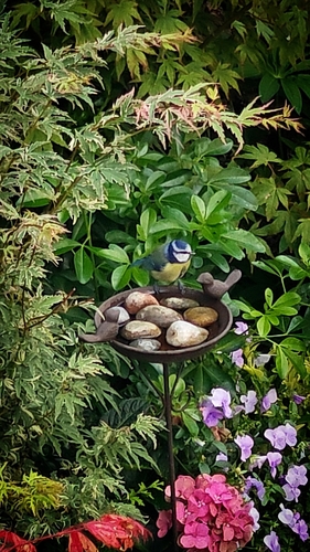
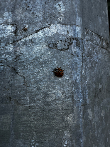
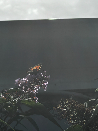
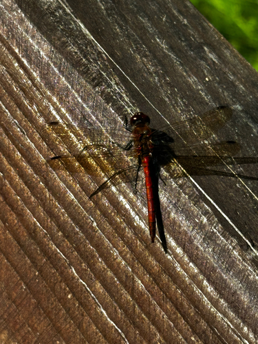
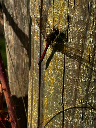
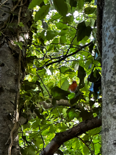
Research-grade observations from iNaturalist (within ~15 mi).
Events
Gallery
Sources
- • Wikipedia
- • Wikidata
- • iNaturalist