Browse / Ireland / Kildare / Celbridge
Celbridge
Kildaretown

Celbridge
Total population
20,601
Demographic figures from Central Statistics Office (Ireland). Overview below cites Wikipedia and may reference a different year.
City facts
Facts from Wikidata (CC0).
Overview
Celbridge is a town and townland on the River Liffey in County Kildare, Ireland. It is 23 km (14 mi) west of Dublin. Both a local centre and a commuter town within the Greater Dublin Area, it is located at the intersection of the R403 and R405 regional roads. As of the 2022 census, Celbridge was the third largest town in County Kildare by population, with 20,601 residents.
Read more on WikipediaHistory & geography
History
There is evidence of 5,000 years of habitation, as evidenced by beads and quern stones in the National Museum from Griffinrath (), and the nearby high ground sloping down to the Liffey. Research has linked Celbridge with the Slí Mór possibly crossing the Liffey at a ford located below the site of the mill directly east of the bridge rather than at Castletown House, as previously thought. The etymology of Donaghcumper Church (church of the confluence, "Domhnach" is one of the earliest Irish words for church) (.) suggests it may have existed as a monastic site from the 5th century. Folklore and heroic literature associate the north bank of Celbridge with both Saint Patrick (hill and church of uncertain antiquity in Ardrass) (.) and Saint Mochua (c.570), who was associated with a church in Tea Lane (.), and a well on the site of the current mill where pagan converts were baptised. The original Kildrought parish church (built 14th century, burned 1798) stood in the present graveyard at Tea Lane and houses the mausoleums of the Dongan and Conolly families. It was granted by the Normans to the Abbey of St Thomas in Dublin. Donaghcumper Church (c1150) had windows of cut stone inserted into the building in the 14th century. Its ruins are extant in the main graveyard in Celbridge, and members of the Alan family are buried in the church vault. The old parish of Donaghcumper consisted of the modern townlands of Parsonstown, Rinnawad, Ballyoulster, Commons, Coneyboro, Coolfitch, Donaghcumper, Elm Hall, Loughlinstown, Newtown, Reeves, Simmonstown, Straleek and St. Wolstans. Pre Norman churches served the adjoining parishes in Donaghcumper (.) and Stacumny (.) (mentioned 1176, burned 1297, held in 1308 by a parson, Waleys) to the east, Adherrig or Aderrig further to the east…
Excerpted from the corresponding Wikipedia article (CC BY-SA).
Geography
Coordinates & boundaries from the US Census TIGER/Line shapefiles.
Climate
Air quality
Walkability
Amenities nearby
Wildlife & biodiversity
Earthquake history
Photos
Sights & places nearby
Notable people from here


People born within ~10 km, from Wikidata (CC0). Click any name for their Wikipedia article.
Nearby places in Kildare
Geography & sun
Elevation, sunrise/sunset and daylight from Open-Meteo. Solar climatology from NASA POWER.
Nearby airports
Public attention
Pageview totals from the Wikimedia Pageviews API.
Books about Celbridge
Search results from Open Library.
Recent natural events nearby
Ground air-quality sensors
Recently spotted species
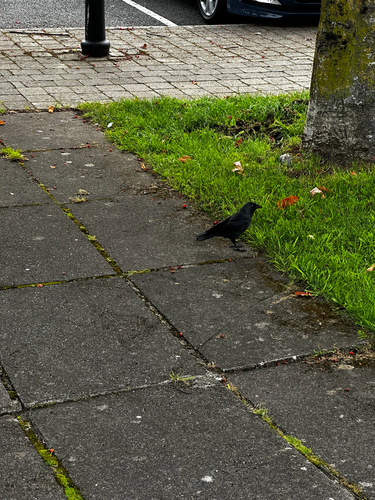
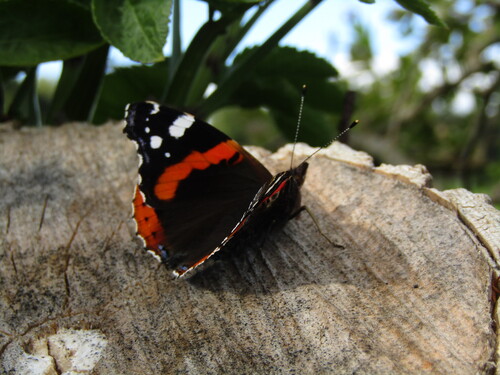
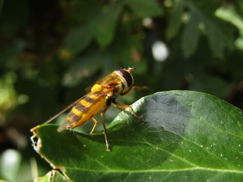
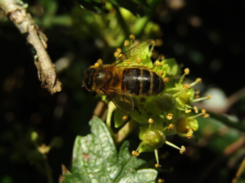
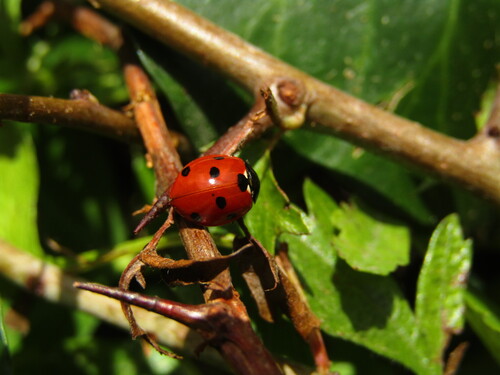
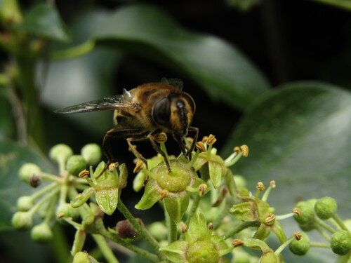
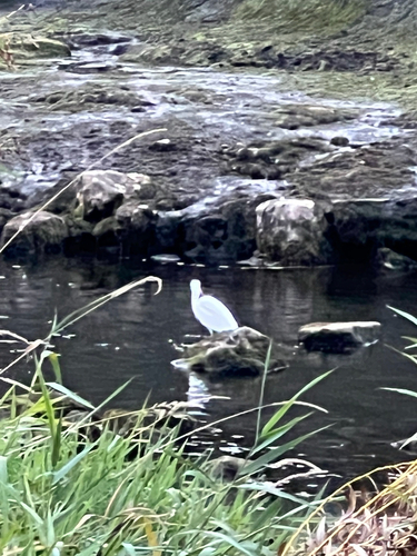
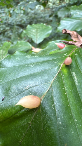
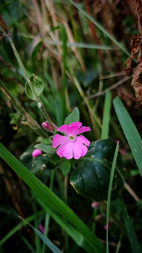
Research-grade observations from iNaturalist (within ~15 mi).
Events
Gallery
Sources
- • Wikipedia
- • Wikidata
- • iNaturalist
- • Open-Meteo / sunrise-sunset.org
- • Wikipedia Pageviews API
- • Open Library