Browse / Ireland / Meath / Drumconrath
Drumconrath
Meathvillage

Drumconrath
Demographic figures from Central Statistics Office (Ireland). Overview below cites Wikipedia and may reference a different year.
City facts
Overview
Drumconrath or Drumcondra is a small village in north County Meath, Ireland, 8 km west of Ardee. The parish borders County Louth and is also close to the borders of Counties Monaghan and Cavan. As of the 2016 census, the village had a population of 423 people.
Read more on WikipediaHistory & geography
History
There is evidence of settlement in the area since before 200 BC in the ancient pathways and ringforts at Corstown and Drumsilagh. Tuath Conraige of the Mugdorna, an Airgíalla tribe mostly in Monaghan, occupied the area in the early Middle Ages and gave their name to the area. During the Late Middle Ages, Drumconrath was literally "Beyond the Pale" being the first Gaelic Settlement you meet leaving the Pale from Ardee. It was a hostile place for the English who left the safety of the Pale and several battles took place in the village. The battle of Ballyhoe (1539 AD) between the O'Neills and the English, took place nearby. Of this battle, local folklore says that a treasure was thrown into the lake during the battle and when a true Irish Gael on a white horse comes, he will swoop into the lake and take it. The remains of a monastery on Church Hill, destroyed because of Henry VIII's Dissolution of the Monastery Act, overlooks Lough Braken lake. Here there are views of the Mourne Mountains in one direction and the Dublin Mountains in the other. During the 1798 rebellion, five parishioners were killed by the Louth Militia for refusing to allow them entry to the Church in the village. The area had strong Ribbonmen support and six men from the area were hanged for their part in the infamous burning of the Wildgoose Lodge Murders nearby. A number of local men fought in the Anglo-Irish War and the Irish Civil War with nearby Kingscourt Brigade. It is recorded that this Brigade fired the last shot of the Anglo-Irish War at 11:20 on 11 June 1921, twenty minutes after the truce. A movie, released in October 2016, was filmed in and near Drumconrath. The movie, "The Wilde Goose Lodge", involved a number of local people and actors.
Excerpted from the corresponding Wikipedia article (CC BY-SA).
Geography
Coordinates & boundaries from the US Census TIGER/Line shapefiles.
Climate
Air quality
Walkability
Amenities nearby
Wildlife & biodiversity
Earthquake history
Photos
Sights & places nearby
Notable people from here
Nearby places in Meath
Geography & sun
Elevation, sunrise/sunset and daylight from Open-Meteo. Solar climatology from NASA POWER.
Nearby airports
Public attention
Pageview totals from the Wikimedia Pageviews API.
Books about Drumconrath
Search results from Open Library.
Recent natural events nearby
Ground air-quality sensors
Recently spotted species
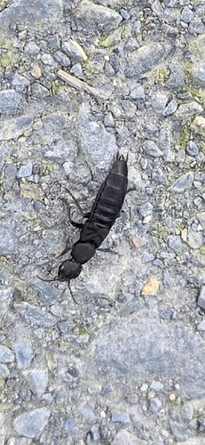
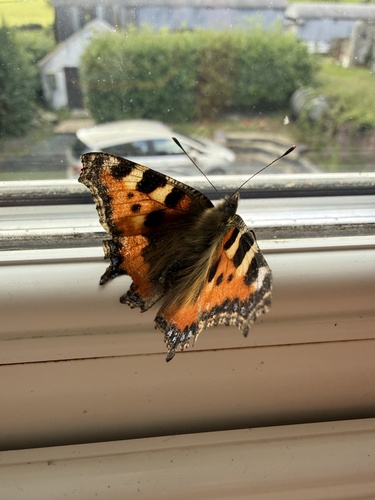
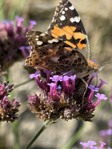
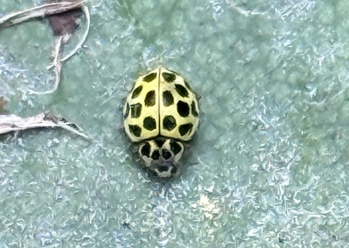
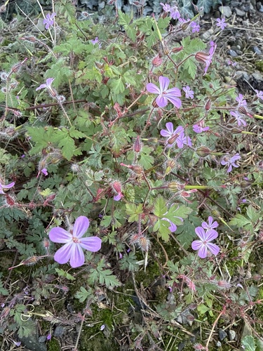
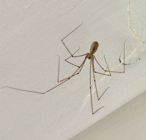
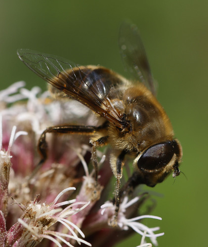
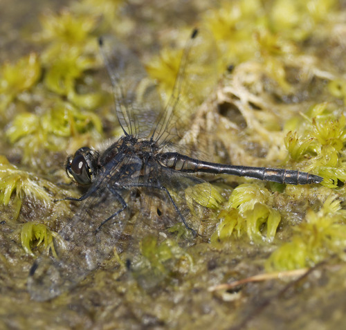
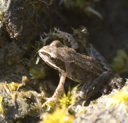
Research-grade observations from iNaturalist (within ~15 mi).
Events
Gallery
Official Identifiers
Logainm — Placenames Database of Ireland
- Logainm ID
- 1416706
- Wikidata
- Q4167665
Logainm ID via Wikidata P5097
Sources
- • Wikipedia
- • iNaturalist
- • Open-Meteo / sunrise-sunset.org
- • Wikipedia Pageviews API
- • Open Library
- • Logainm — Placenames Database of Ireland — Logainm ID via Wikidata P5097