Browse / Ireland / Westmeath / Mount Temple
Mount Temple
Westmeathvillage

Mount Temple
Demographic figures from Central Statistics Office (Ireland). Overview below cites Wikipedia and may reference a different year.
City facts
Overview
Mount Temple is a village in County Westmeath in Ireland, about 6.5 km northwest of Moate. It is noted for its golf course of the same name. It was historically called Ballyloughloe. Mount Temple, along with its sister village Baylin, are the only two villages in the civil parish of Ballyloughloe.
Read more on WikipediaHistory & geography
History
In ancient times, Mount Temple and its hinterland formed part of the kingdom of the High King of Uisneach at Killare. The area of South Westmeath and Longford was conquered by Niall of the Nine Hostages circa AD400 and formed the kingdom of (anglicized as Teffia). An area roughly the present-day parish of Ballyloughloe was granted to his son, Maine, and was known as the , hence the name Caulry. It was ruled by Maine's descendants for the next 1,200 years. They were the MacAmhalgaidhe (anglicised as Magawley or sometimes McAuley) and were referred to as the Lords of Carlee in old manuscripts. The chieftain of their clan was inaugurated on a coronation site known as Tullymagawley, in the townland of Ballymurray. The Hanevys, Geraghtys, and Flynns are clans closely associated with the Magawleys, residing in the area. The principal neighbouring clans were the Melaghlins (in Moate and Farnagh), Foxes (East Moate), Dillons (Kilkenny West), the O'Dalys and O'Malones (Castledaly) and the O'Braoins (East Athlone). Tradition records that Saint Patrick visited the area in the 5th century but was given a hostile reception in Caulry. He escaped to Annagh and on to Ballykeeran, where he is reputed to have placed a curse on the people of Caulry. Saint Ciarán has strong associations with the area, having founded a church called in Baylin. The Baylin High Cross (circa AD800) originates from this site. A Franciscan Abbey and a Saint Clare's Nunnery were located in the townland of Monksland, but they were abandoned following Henry VIII's dissolution of the monasteries. The Normans arrived in Ireland, via Wexford in 1171 and, following a rapid conquest, arrived in this locality, led by the Tuites in 1180. They were responsible for the construction of a motte and bailey on top of an…
Excerpted from the corresponding Wikipedia article (CC BY-SA).
Geography
Coordinates & boundaries from the US Census TIGER/Line shapefiles.
Climate
Air quality
Walkability
Amenities nearby
Wildlife & biodiversity
Most-observed species
- Starry StonewortNitellopsis obtusa (Desv.) J.Groves · Charophyceae1,034
- European RobinErithacus rubecula (Linnaeus, 1758) · Aves547
- Eurasian BlackbirdTurdus merula Linnaeus, 1758 · Aves504
- Common ChaffinchFringilla coelebs Linnaeus, 1758 · Aves492
- Common Wood-PigeonColumba palumbus Linnaeus, 1758 · Aves469
- Western JackdawColoeus monedula (Linnaeus, 1758) · Aves467
- RookCorvus frugilegus Linnaeus, 1758 · Aves431
- Eurasian WrenTroglodytes troglodytes (Linnaeus, 1758) · Aves393
Citizen-science & research observations from the Global Biodiversity Information Facility (GBIF).
Earthquake history
Events from the USGS Earthquake Catalog (global) (FDSN Event Web Service).
Photos
Sights & places nearby
Notable people from here
Nearby places in Westmeath
Geography & sun
Elevation, sunrise/sunset and daylight from Open-Meteo. Solar climatology from NASA POWER.
Nearby airports
Public attention
Pageview totals from the Wikimedia Pageviews API.
Books about this place
Recent natural events nearby
Ground air-quality sensors
Recently spotted species
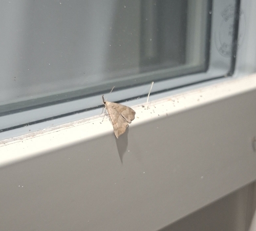
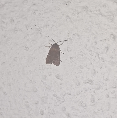
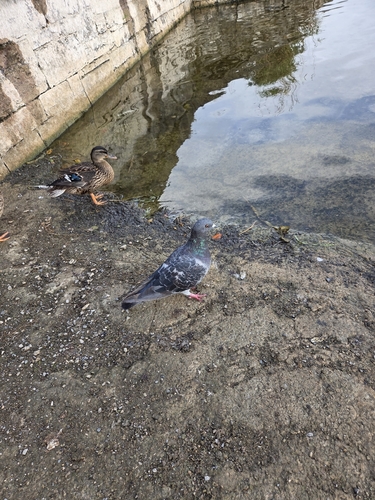
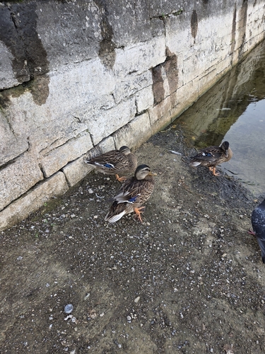
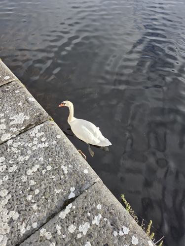
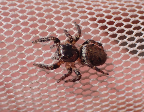
Research-grade observations from iNaturalist (within ~15 mi).
Events
Gallery
Sources
- • Wikipedia
- • USGS Earthquake Catalog (global feed)
- • GBIF (Global Biodiversity Information Facility)
- • iNaturalist
- • Open-Meteo / sunrise-sunset.org
- • Wikipedia Pageviews API