Browse / Ireland / Westmeath / Tubberclare
Tubberclare
Westmeathvillage

Tubberclare
Demographic figures from Central Statistics Office (Ireland). Overview below cites Wikipedia and may reference a different year.
City facts
Facts from Wikidata (CC0).
Overview
Tubberclare or Tubberclair is a village and townland in County Westmeath, Ireland, between Ballymahon and Athlone. It lies 9 km (6 mi) from Athlone, on the N55 national secondary road, and 2 km (1 mi) north of Glasson. Toberclare is the official spelling of the name in English.
Read more on WikipediaHistory & geography
Geography
Coordinates & boundaries from the US Census TIGER/Line shapefiles.
Climate
Air quality
Walkability
Amenities nearby
Wildlife & biodiversity
Most-observed species
- Starry StonewortNitellopsis obtusa (Desv.) J.Groves · Charophyceae1,331
- European RobinErithacus rubecula (Linnaeus, 1758) · Aves529
- Eurasian BlackbirdTurdus merula Linnaeus, 1758 · Aves491
- Common ChaffinchFringilla coelebs Linnaeus, 1758 · Aves476
- Common Wood-PigeonColumba palumbus Linnaeus, 1758 · Aves449
- RookCorvus frugilegus Linnaeus, 1758 · Aves412
- Eurasian WrenTroglodytes troglodytes (Linnaeus, 1758) · Aves402
- Western JackdawColoeus monedula (Linnaeus, 1758) · Aves397
Citizen-science & research observations from the Global Biodiversity Information Facility (GBIF).
Earthquake history
Events from the USGS Earthquake Catalog (global) (FDSN Event Web Service).
Photos
Sights & places nearby
Notable people from here
Nearby places in Westmeath
Geography & sun
Elevation, sunrise/sunset and daylight from Open-Meteo. Solar climatology from NASA POWER.
Nearby airports
Public attention
Pageview totals from the Wikimedia Pageviews API.
Books about this place
Recent natural events nearby
Ground air-quality sensors
Recently spotted species

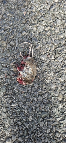
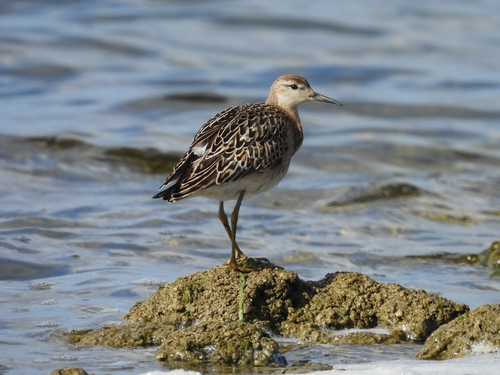
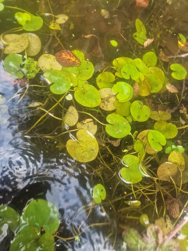
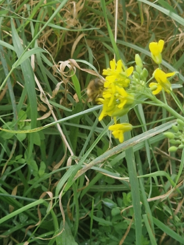

Research-grade observations from iNaturalist (within ~15 mi).
Events
Gallery
Sources
- • Wikipedia
- • Wikidata
- • USGS Earthquake Catalog (global feed)
- • GBIF (Global Biodiversity Information Facility)
- • iNaturalist
- • Open-Meteo / sunrise-sunset.org
- • Wikipedia Pageviews API