Browse / United States / Illinois / Alton
Alton
Illinoiscity

Alton
Total population
25,279
Median home value
$103,700
Bachelor's+
Median income
$54,568
Founded
1818
Air quality index
Demographic figures from US Census Bureau · ACS 5-year estimates. Overview below cites Wikipedia and may reference a different year.
City facts
Facts from Wikidata (CC0).
Overview
Alton is a city on the Mississippi River in Madison County, Illinois, United States, about 18 miles (29 km) north of St. Louis, Missouri. Its population was 25,676 at the 2020 census. It is a part of the River Bend area in the Metro-East region of the Greater St. Louis metropolitan area.
Read more on WikipediaHistory & geography
History
Although Alton once was growing faster than the nearby city of St. Louis, a coalition of St. Louis businessmen planned to build a competing town to stop Alton's expansion and bring business to St. Louis. The resulting town was Grafton, Illinois. Many blocks of housing in Alton were built in the Victorian Queen Anne style. They represent a prosperous period in the river city's history. At the top of the hill in the commercial area, several stone churches and a fine city hall also represent the city's wealth during its good times based on river traffic, manufacturing, and shipping. It was a commercial center for a large agricultural area. Numerous residences on hills have sweeping views of the Mississippi River. The Alton area was home to Native Americans for thousands of years before the 19th-century founding by European Americans of the modern city. Historic accounts indicate occupation of this area by the Illinois Confederation at the time of European contact. Earlier native settlement is demonstrated by archaeological artifacts and the famous prehistoric Piasa bird painted on a cliff face nearby. The image was described in 1673 by French missionary priest Father Jacques Marquette. Alton was developed as a river town in January 1818 by Rufus Easton, who named it after his son. Easton ran a passenger ferry service across the Mississippi River to the Missouri shore. Alton is located amid the confluence of three navigable rivers, the Illinois, Mississippi, and Missouri. Alton grew into a river trading town with an industrial character. The city rises steeply from the waterfront, where massive concrete grain silos and railroad tracks were constructed in the 19th and 20th centuries to store and ship the area's grains and produce. Brick commercial buildings are spread…
Geography
Alton is located on the Mississippi River above the mouth of the Missouri River. Most of Alton is located on bluffs overlooking the river valley. The Meeting of the Great Rivers National Scenic Byway runs along the Alton riverfront. A monument and observatory tower, Confluence Tower, located next to the confluence of the Missouri and Mississippi Rivers in neighboring Hartford, Illinois, has been constructed to provide an overview of the Great Rivers area. This point also marks the beginning of the famous Lewis and Clark Expedition. Also on the river at Alton is Lock and Dam 26, the newest and busiest lock and dam complex on the main channel of the Mississippi River. Adjacent to it on the Illinois side is the , which features tours of the dam itself several times per day. On the Missouri side, the Audubon Center at Riverlands, is one of the best places in the world to view birds, as it lies near where the Mississippi Flyway merges the flight paths of the Mississippi, Illinois, and Missouri Rivers. Also adjacent to the Audubon Center is the Jones-Confluence Point State Park, where one can stand at the confluence of the Missouri and Mississippi Rivers. According to the 2010 census, Alton has a total area of , of which (or 7.56%) are covered by water. The National Great Rivers Museum is located at the new Lock and Dam No. 26, or Melvin Price Locks and Dam. The lock and dam are open for tours. The lock is a favorite spot to watch bald eagles, which feed on fish coming up in waters below the dam. A large bird sanctuary is located in an area of floodplain and wetlands on the west side of the river. The River Road goes right next to the river north to Grafton. Above that, it is often routed inland of the floodplain. It provides views of the dramatic contrast between the…
Excerpted from the corresponding Wikipedia article (CC BY-SA).
Demographics & economy
Race & ethnicity
Source: US Census Bureau — American Community Survey, 5-year estimates.
Geography
Coordinates & boundaries from the US Census TIGER/Line shapefiles.
Climate
Current forecast
Forecast for Alton, IL from NOAA NWS API.
Air quality
Current readings from Open-Meteo Air Quality API (Copernicus CAMS European reanalysis).
Industrial & pollution facilities
Natural hazard risk
Health (adults)
Walkability
Amenities nearby
Wildlife & biodiversity
Most-observed species
- Northern CardinalCardinalis cardinalis (Linnaeus, 1758) · Aves15,120
- Red-winged BlackbirdAgelaius phoeniceus (Linnaeus, 1766) · Aves11,854
- American RobinTurdus migratorius Linnaeus, 1766 · Aves11,551
- Canada Goose (canadensis Group)Branta canadensis (Linnaeus, 1758) · Aves10,962
- Mourning DoveZenaida macroura (Linnaeus, 1758) · Aves10,905
- American GoldfinchSpinus tristis (Linnaeus, 1758) · Aves10,723
- Downy WoodpeckerDryobates pubescens (Linnaeus, 1766) · Aves10,257
- Tufted TitmouseBaeolophus bicolor (Linnaeus, 1766) · Aves9,719
Citizen-science & research observations from the Global Biodiversity Information Facility (GBIF).
Schools
Earthquake history
Photos
Sights & places nearby
Notable people from here


People born within ~10 km, from Wikidata (CC0). Click any name for their Wikipedia article.
Nearby places in Illinois
- East Alton2.7 mi away · pop. 5,689
- Bethalto5.7 mi away
- Brighton9.5 mi away · pop. 2,306
- Mitchell10.4 mi away · pop. 1,092
- Elsah11.5 mi away · pop. 708
- Holiday Shores11.5 mi away
- Edwardsville11.7 mi away · pop. 26,474
- Glen Carbon13.5 mi away
- Madison15.3 mi away · pop. 2,900
- Grafton15.6 mi away · pop. 734
- Maryville15.7 mi away
- Brooklyn17.3 mi away · pop. 729
Geography & sun
Elevation, sunrise/sunset and daylight from Open-Meteo. Solar climatology from NASA POWER.
Nearby airports
Public attention
Pageview totals from the Wikimedia Pageviews API.
Books about Alton




Search results from Open Library.
Recent natural events nearby
Ground air-quality sensors
Recently spotted species
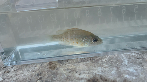
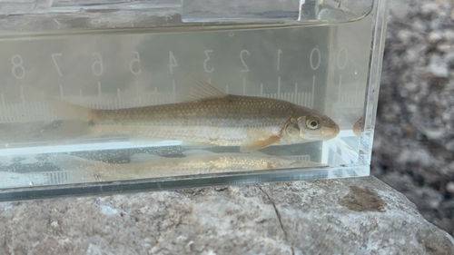
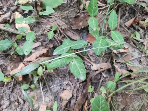




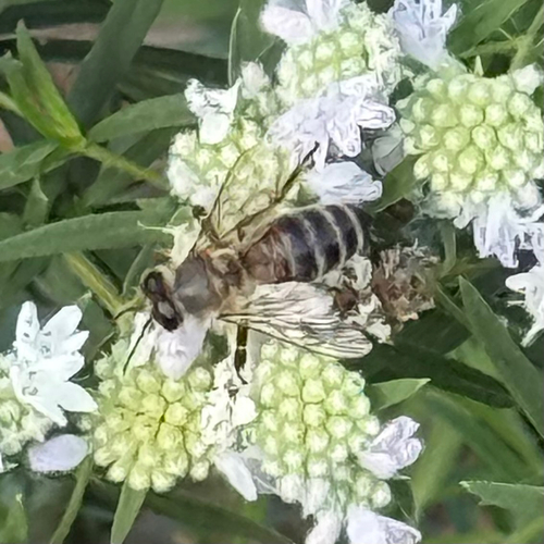

Research-grade observations from iNaturalist (within ~15 mi).
Nearest stream gauge
Events
Gallery
Sources
- • Wikipedia
- • US Census Bureau (ACS 5-year estimates)
- • NOAA National Weather Service
- • Wikidata
- • Open-Meteo Air Quality (CAMS)
- • GBIF (Global Biodiversity Information Facility)
- • iNaturalist
- • Open-Elevation
- • Open-Meteo / sunrise-sunset.org
- • Wikipedia Pageviews API
- • Open Library