Browse / United States / Illinois / Columbia
Columbia
Illinoiscity

Columbia
Total population
11,127
Median home value
$293,000
Bachelor's+
Median income
$107,606
Demographic figures from US Census Bureau · ACS 5-year estimates. Overview below cites Wikipedia and may reference a different year.
City facts
Overview
Columbia is a city mainly in Monroe County with a small portion in St. Clair County in the U.S. state of Illinois, about 12 miles (19 km) south of St. Louis, Missouri. The population was 10,999 at the 2020 census.
Read more on WikipediaHistory & geography
History
Columbia was first incorporated in 1859 as a small farming settlement, but had been occupied by various Native American cultures for 12,000 years. The earliest group encountered by European settlers were members of what became the Illinois Confederation, though they had moved to the area from the Great Lakes region only a few centuries before.
Geography
According to the 2010 census, Columbia has a total area of , of which (or 99.37%) is land and (or 0.63%) is water. Columbia is bounded on the west by the Mississippi River. Running in a diagonal line just northeast of Columbia is the border of St. Clair County, beyond which lies Dupo to the north and Millstadt to the east. To the south is Waterloo. Waterloo and Columbia are expected to grow right up to the borders of the other, in effect extending St. Louis's urban sprawl from South St. Louis County across the Jefferson Barracks Bridge into the heart of the formerly rural Monroe County. The climate in this area is characterized by hot, humid summers and generally cool winters. According to the Köppen Climate Classification system, Columbia, IL has a humid subtropical climate, abbreviated "Cfa" on climate maps.
Excerpted from the corresponding Wikipedia article (CC BY-SA).
Demographics & economy
Race & ethnicity
Source: US Census Bureau — American Community Survey, 5-year estimates.
Geography
Coordinates & boundaries from the US Census TIGER/Line shapefiles.
Climate
Current forecast
Forecast for Columbia, IL from NOAA NWS API.
Air quality
Industrial & pollution facilities
Natural hazard risk
Health (adults)
Age-adjusted prevalence estimates from CDC PLACES (latest release).
Walkability
Amenities nearby
Wildlife & biodiversity
Most-observed species
- Northern CardinalCardinalis cardinalis (Linnaeus, 1758) · Aves21,135
- American RobinTurdus migratorius Linnaeus, 1766 · Aves18,653
- Mourning DoveZenaida macroura (Linnaeus, 1758) · Aves15,966
- Blue JayCyanocitta cristata (Linnaeus, 1758) · Aves14,653
- European StarlingSturnus vulgaris Linnaeus, 1758 · Aves13,942
- House FinchHaemorhous mexicanus (P.L.Statius Müller, 1776) · Aves13,066
- Downy WoodpeckerDryobates pubescens (Linnaeus, 1766) · Aves12,223
- Carolina ChickadeePoecile carolinensis (Audubon, 1834) · Aves10,700
Citizen-science & research observations from the Global Biodiversity Information Facility (GBIF).
Schools
Largest nearby schools
- Columbia High SchoolHigh · Columbia · 635 students · 17.2:1 ratio
- Waterloo Junior High SchoolMiddle · Waterloo · 619 students · 17.2:1 ratio
- Columbia Middle SchoolMiddle · Columbia · 608 students · 16.9:1 ratio
- W J Zahnow Elem SchoolElementary · Waterloo · 488 students · 15.3:1 ratio
- Parkview Elementary SchoolElementary · Columbia · 432 students · 16.6:1 ratio
- Gardner Elementary SchoolElementary · Waterloo · 399 students · 16:1 ratio
- Rogers Elem SchoolElementary · Waterloo · 367 students · 14.7:1 ratio
- Eagleview Elementary SchoolElementary · Columbia · 315 students · 14.3:1 ratio
Public K–12 schools within ~10 mi from Urban Institute Education Data Portal (NCES Common Core of Data, 2022).
Earthquake history
Most recent
- M 2.57 — 2024-09-191 km S of Old Monroe, Missouri
- M 2.81 — 2024-03-281 km NNE of Germantown, Illinois
- M 2.53 — 2024-03-056 km ENE of Pinckneyville, Illinois
- M 2.84 — 2022-04-291 km SSW of Peerless Park, Missouri
- M 2.57 — 2019-09-116 km NNE of Bonne Terre, Missouri
- M 3.12 — 2017-07-019 km SSE of Mulberry Grove, Illinois
Events from the USGS Earthquake Catalog (global) (FDSN Event Web Service).
Photos
Sights & places nearby
Notable people from here


People born within ~10 km, from Wikidata (CC0). Click any name for their Wikipedia article.
Nearby places in Illinois
- East Carondelet5.6 mi away
- Cahokia Heights8.5 mi away
- East St. Louis11.9 mi away
- Brooklyn13.8 mi away · pop. 729
- Caseyville15.4 mi away
- Freeburg16.3 mi away
- Madison16.9 mi away · pop. 2,900
- New Athens20.9 mi away · pop. 1,933
- Mitchell22.3 mi away · pop. 1,092
- Maryville23.1 mi away
- Lebanon24.1 mi away
- Glen Carbon24.3 mi away
Geography & sun
Elevation, sunrise/sunset and daylight from Open-Meteo. Solar climatology from NASA POWER.
Nearby airports
Public attention
Pageview totals from the Wikimedia Pageviews API.
Books about Columbia

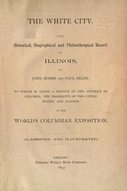

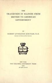
Search results from Open Library.
Recent natural events nearby
Ground air-quality sensors
Recently spotted species

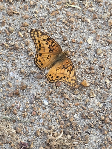
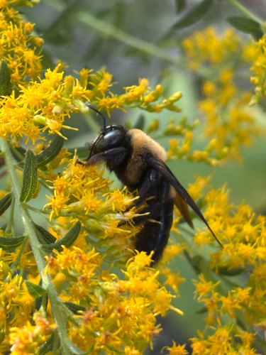
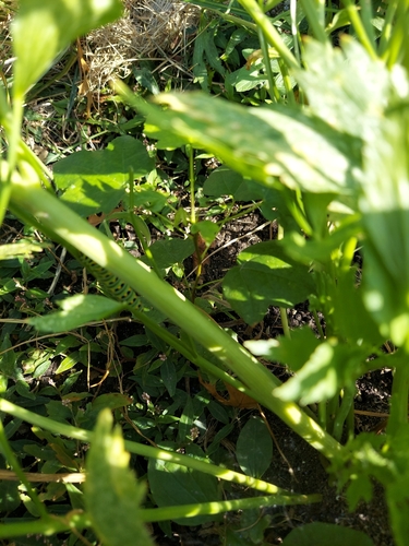

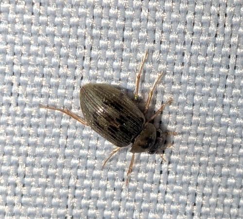
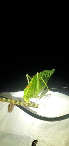
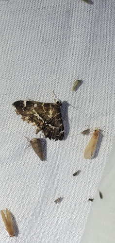
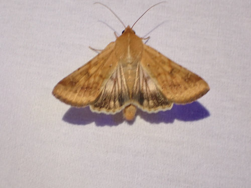
Research-grade observations from iNaturalist (within ~15 mi).
Nearest stream gauge
Events
Gallery
Sources
- • Wikipedia
- • US Census Bureau (ACS 5-year estimates)
- • NOAA National Weather Service
- • Wikidata
- • USGS Earthquake Catalog (global feed)
- • NCES via Urban Institute Education Data Portal
- • GBIF (Global Biodiversity Information Facility)
- • iNaturalist
- • CDC PLACES
- • Open-Meteo / sunrise-sunset.org
- • Wikipedia Pageviews API
- • Open Library