Browse / United States / Illinois / Darien
Darien
Illinoiscity

Darien
Total population
21,879
Median home value
$398,700
Bachelor's+
Median income
$111,215
Air quality index
Demographic figures from US Census Bureau · ACS 5-year estimates. Overview below cites Wikipedia and may reference a different year.
City facts
Overview
Darien is a city in DuPage County, Illinois, United States. Per the 2020 census, the population was 22,011. A southwestern suburb of Chicago, Darien was named after the town of Darien, Connecticut. Darien is just north of I-55 and Historic U.S. Route 66. The entire south edge of the town borders Waterfall Glen.
Read more on WikipediaHistory & geography
History
The first people to settle in Darien came from New England via the Erie Canal and Great Lakes. Among the first to arrive was Thomas Andrus, the Rapones, and the Capra family. They settled along an old stagecoach line in 1835. Thomas Andrus served as the first postmaster, the first Justice of the Peace, a county commissioner, and county assessor. The Andrus farmhouse also operated as an inn and tavern to accommodate travelers from the Frink and Walker Stagecoach line according to the Darien Historical Society. Mr. Capra was the Dog Catcher, and also established the Capra Inn, near what is currently the intersection of Lemont Road and I-55; the inn served the 15 stagecoaches that traveled the stagecoach line, and included a tavern and a post office. Andrus named the area "Cass". Andrus and Father Beggs along with Louis Capra Sr. built the First Cass Church, which was a log cabin. The church was also used as a school house. It is now a museum which is open on the first Sunday of each month from 2:00pm to 4:00pm. Darien in Illinois is pronounced with the accent on the first syllable; Darien in Connecticut is pronounced with the accent on the last syllable. On June 20, 2021, a large, violent EF3 tornado tore through several neighborhoods of Woodridge, and then into Darien. The tornado first formed in southern Naperville, causing 6 injuries, and 2 in critical condition. After the tornado crossed IL 53, it entered Woodridge, on top of 83rd St. The tornado at this point was nearing peak width, at or near 1/4 to 1/2 mile wide. The tornado then crossed I-355, and reached peak strength not too long later. The tornado reached a peak size of 0.25 – 0.5 miles wide with a debris ball around 2 miles wide. The tornado at this point was starting to enter Darien, causing even more…
Geography
According to the 2021 census gazetteer files, Darien has a total area of , of which (or 98.22%) is land and (or 1.78%) is water. Darien's City Hall used to be totally underground until 1994, when it was lifted up. Now only 75% is underground. Darien's City Hall is surrounded on three sides by the village of Downers Grove. The entire south edge of Darien backs up to Waterfall Glen Forest Preserve, which is home to one of the only old-growth, pine wood forests in the area. It also offers a 773-acre "Bluff savanna", with hiking trails, horseback trails and boat access to the nearby Des Plaines River. The Rocky Glen Waterfall, located within the preserve, is a popular swimming destination in the summer. Darien is bordered by the cities of Downers Grove, Westmont, Woodridge, Lemont, and Willowbrook, and it has easy access to the three major thoroughfares crossing Chicago's southwest suburbs: Interstate 55, Interstate 355, and Interstate 294.
Excerpted from the corresponding Wikipedia article (CC BY-SA).
Demographics & economy
Race & ethnicity
Source: US Census Bureau — American Community Survey, 5-year estimates.
Geography
Coordinates & boundaries from the US Census TIGER/Line shapefiles.
Climate
10-year averages from ERA5 reanalysis (Open-Meteo).
Current forecast
Forecast for Darien, IL from NOAA NWS API.
Air quality
Current readings from Open-Meteo Air Quality API (Copernicus CAMS European reanalysis).
Industrial & pollution facilities
Natural hazard risk
Health (adults)
Age-adjusted prevalence estimates from CDC PLACES (latest release).
Walkability
Amenities nearby
Wildlife & biodiversity
Most-observed species
- American RobinTurdus migratorius Linnaeus, 1766 · Aves88,493
- Northern CardinalCardinalis cardinalis (Linnaeus, 1758) · Aves82,220
- Blue JayCyanocitta cristata (Linnaeus, 1758) · Aves64,016
- American GoldfinchSpinus tristis (Linnaeus, 1758) · Aves62,592
- Mourning DoveZenaida macroura (Linnaeus, 1758) · Aves61,310
- Black-capped ChickadeePoecile atricapillus (Linnaeus, 1766) · Aves60,799
- Downy WoodpeckerDryobates pubescens (Linnaeus, 1766) · Aves60,314
- Red-winged BlackbirdAgelaius phoeniceus (Linnaeus, 1766) · Aves60,269
Citizen-science & research observations from the Global Biodiversity Information Facility (GBIF).
Schools
Largest nearby schools
- Comm H S Dist 99 - South High SchHigh · Downers Grove · 2,637 students · 14.7:1 ratio
- Naperville North High SchoolHigh · Naperville · 2,553 students · 14:1 ratio
- Naperville Central High SchoolHigh · Naperville · 2,551 students · 14.4:1 ratio
- Hinsdale Central High SchoolHigh · Hinsdale · 2,472 students · 14.3:1 ratio
- Glenbard East High SchoolHigh · Lombard · 2,275 students · 16.5:1 ratio
- Comm H S Dist 99 - North H SHigh · Downers Grove · 2,138 students · 14:1 ratio
- Willowbrook High SchoolHigh · Villa Park · 1,992 students · 16.7:1 ratio
- Hinsdale South High SchoolHigh · Darien · 1,371 students · 12.9:1 ratio
Public K–12 schools within ~10 mi from Urban Institute Education Data Portal (NCES Common Core of Data, 2022).
Earthquake history
Most recent
- M 2.9 — 2026-07-0821 km ENE of Kenilworth, Illinois
- M 2.6 — 2025-03-156 km W of Dwight, Illinois
- M 3.1 — 2024-07-152 km WNW of Somonauk, Illinois
- M 2.9 — 2015-03-253 km WNW of Lake in the Hills, Illinois
- M 3.2 — 2013-11-041 km SSW of Lyons, Illinois
- M 2.6 — 2013-06-104 km NNE of Virgil, Illinois
Events from the USGS Earthquake Catalog (global) (FDSN Event Web Service).
Photos
Sights & places nearby
Notable people from here


People born within ~10 km, from Wikidata (CC0). Click any name for their Wikipedia article.
Nearby places in Illinois
- Oak Brook6.4 mi away · pop. 8,056
- Palos Hills8.6 mi away
- Brookfield8.8 mi away · pop. 19,331
- Lockport Heights8.8 mi away
- Glen Ellyn9.4 mi away · pop. 28,390
- Lyons9.6 mi away · pop. 10,339
- Palos Park9.6 mi away
- Berkeley10.5 mi away · pop. 5,199
- Palos Heights11.1 mi away
- Orland Park11.4 mi away
- Oak Lawn12 mi away · pop. 56,861
- Melrose Park12.4 mi away · pop. 24,549
Geography & sun
Elevation, sunrise/sunset and daylight from Open-Meteo. Solar climatology from NASA POWER.
Nearby airports
Public attention
Pageview totals from the Wikimedia Pageviews API.
Books about Darien


Search results from Open Library.
Recent natural events nearby
Ground air-quality sensors
Recently spotted species
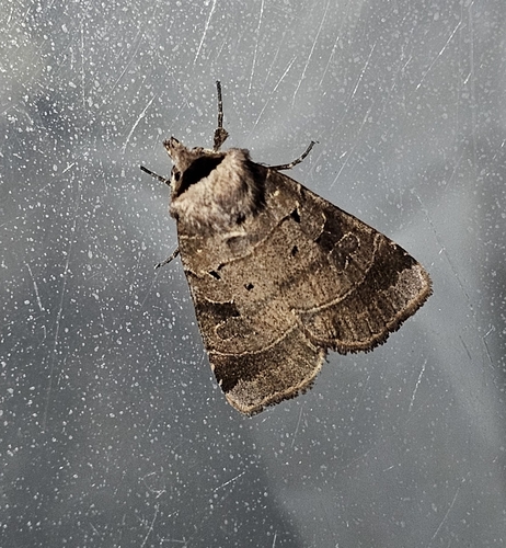
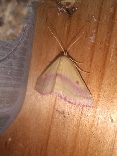
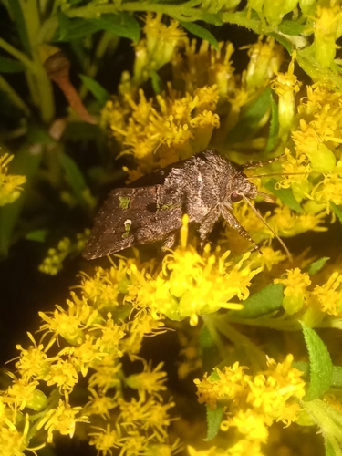
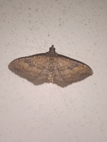
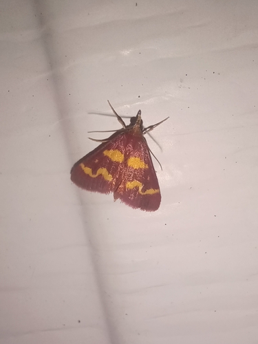
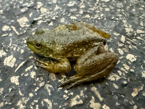
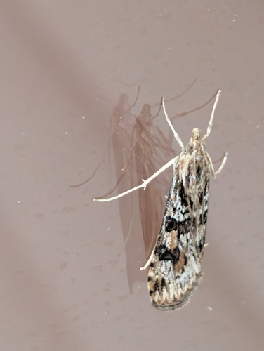
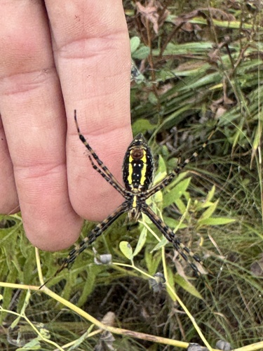
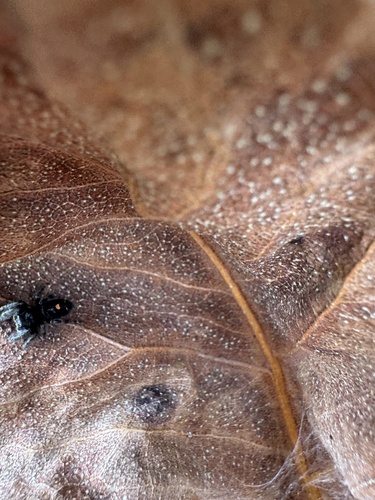
Research-grade observations from iNaturalist (within ~15 mi).
Nearest stream gauge
Events
Gallery
Sources
- • Wikipedia
- • US Census Bureau (ACS 5-year estimates)
- • Open-Meteo (ERA5 reanalysis)
- • NOAA National Weather Service
- • Wikidata
- • Open-Meteo Air Quality (CAMS)
- • USGS Earthquake Catalog (global feed)
- • NCES via Urban Institute Education Data Portal
- • GBIF (Global Biodiversity Information Facility)
- • iNaturalist
- • CDC PLACES
- • Open-Meteo / sunrise-sunset.org
- • Wikipedia Pageviews API
- • Open Library