Browse / United States / Illinois / Dupo
Dupo
Illinoisvillage

Dupo
Total population
3,879
Median home value
$113,800
Bachelor's+
Median income
$61,644
Founded
1750
Demographic figures from US Census Bureau · ACS 5-year estimates. Overview below cites Wikipedia and may reference a different year.
- Heat Advisory · ModerateHeat Advisory issued September 16 at 11:29AM CDT until September 19 at 8:00PM CDT by NWS St Louis MO
Source: NOAA National Weather Service.
City facts
Facts from Wikidata (CC0).
Overview
Dupo is a village in St. Clair County, Illinois, United States. As of the 2020 census, Dupo had a population of 3,996. The village was settled in about 1750 and was incorporated in 1907. Its modern name, adopted in the early 20th century, is shortened from Prairie du Pont.
Read more on WikipediaHistory & geography
History
In the Mississippian period, Dupo was the site of one of several multi-mound communities in the floodplain near Cahokia. These mounds remained standing at least as recently as 1915. The French village of Prairie du Pont was first settled around 1750 by townspeople moving out of Cahokia. It was located at a bridge over what is now known as Prairie du Pont Creek, on the trail from Cahokia to Kaskaskia, which was the first wagon road in Illinois. The settlement may have been motivated by Dupo being located 10–12 feet higher than Cahokia and thus being more protected from floods on the Mississippi River. The Sulpician mission established a mill near the bridge, which became the core of the town's development. The village elected a village council, or syndic, to maintain the fence around the common fields. Among the early inhabitants of Prairie du Pont was the noted gunsmith Philip Creamer, who settled in the area in 1805. At the instigation of the railroad, the name was shortened from Prairie du Pont to Dupo. This led to an oil boom in the town, in which oil wells were sunk in people's front yards. However, the oil boom was short-lived and the economy of the town returned to depending primarily on the rail yard. The crash was caused by a -long freight train breaking in half and the two halves then colliding. A tank car full of methyl isobutyl ketone caught fire.
Geography
Dupo is located in the American Bottom floodplain of the Mississippi River. According to the 2010 census, Dupo has a total area of , all land.
Excerpted from the corresponding Wikipedia article (CC BY-SA).
Demographics & economy
Race & ethnicity
Source: US Census Bureau — American Community Survey, 5-year estimates.
Geography
Coordinates & boundaries from the US Census TIGER/Line shapefiles.
Climate
Current forecast
Forecast for Dupo, IL from NOAA NWS API.
Air quality
Industrial & pollution facilities
Natural hazard risk
Health (adults)
Age-adjusted prevalence estimates from CDC PLACES (latest release).
Walkability
Amenities nearby
Wildlife & biodiversity
Most-observed species
- Northern CardinalCardinalis cardinalis (Linnaeus, 1758) · Aves35,153
- American RobinTurdus migratorius Linnaeus, 1766 · Aves33,162
- Mourning DoveZenaida macroura (Linnaeus, 1758) · Aves27,430
- European StarlingSturnus vulgaris Linnaeus, 1758 · Aves26,245
- Blue JayCyanocitta cristata (Linnaeus, 1758) · Aves25,088
- House FinchHaemorhous mexicanus (P.L.Statius Müller, 1776) · Aves20,747
- Downy WoodpeckerDryobates pubescens (Linnaeus, 1766) · Aves20,602
- House SparrowPasser domesticus (Linnaeus, 1758) · Aves17,396
Citizen-science & research observations from the Global Biodiversity Information Facility (GBIF).
Schools
Largest nearby schools
- Belleville High School-WestHigh · Belleville · 2,234 students · 17.2:1 ratio
- East St Louis Senior High SchoolHigh · East Saint Louis · 1,299 students · 15.8:1 ratio
- Cahokia High SchoolHigh · Cahokia · 845 students · 16.6:1 ratio
- Wirth/Parks Middle SchoolMiddle · Cahokia · 617 students · 15.8:1 ratio
- Mason/Clark Middle SchMiddle · East Saint Louis · 615 students · 11.2:1 ratio
- Bluffview Elem SchoolElementary · Dupo · 511 students · 13.4:1 ratio
- Millstadt Consolidated SchoolMiddle · Millstadt · 470 students · 15.2:1 ratio
- East St Louis-Lincoln Middle SchMiddle · East Saint Louis · 446 students · 8.9:1 ratio
Public K–12 schools within ~10 mi from Urban Institute Education Data Portal (NCES Common Core of Data, 2022).
Earthquake history
Photos
Sights & places nearby
Notable people from here


People born within ~10 km, from Wikidata (CC0). Click any name for their Wikipedia article.
Nearby places in Illinois
- East Carondelet1.9 mi away
- Cahokia Heights5.1 mi away
- East St. Louis8.4 mi away
- Brooklyn9.9 mi away · pop. 729
- Caseyville12.6 mi away
- Madison13.3 mi away · pop. 2,900
- Freeburg17.1 mi away
- Mitchell18.6 mi away · pop. 1,092
- Maryville20 mi away
- Glen Carbon21 mi away
- Edwardsville22.6 mi away · pop. 26,474
- Lebanon22.8 mi away
Geography & sun
Elevation, sunrise/sunset and daylight from Open-Meteo. Solar climatology from NASA POWER.
Nearby airports
Public attention
Pageview totals from the Wikimedia Pageviews API.
Books about Dupo

Search results from Open Library.
Recent natural events nearby
Ground air-quality sensors
Recently spotted species




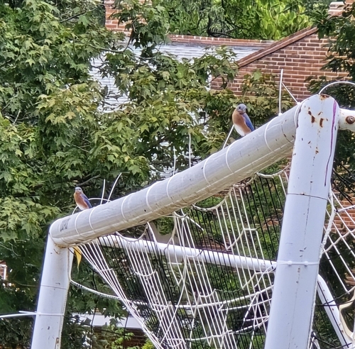




Research-grade observations from iNaturalist (within ~15 mi).
Nearest stream gauge
Live readings from USGS NWIS · measured 2026-09-21 03:00 UTC.
Events
Gallery
Sources
- • Wikipedia
- • US Census Bureau (ACS 5-year estimates)
- • NOAA National Weather Service
- • Wikidata
- • USGS NWIS (water data)
- • NCES via Urban Institute Education Data Portal
- • GBIF (Global Biodiversity Information Facility)
- • iNaturalist
- • CDC PLACES
- • Open-Meteo / sunrise-sunset.org
- • Wikipedia Pageviews API
- • Open Library