Browse / India / Jharkhand / Adityapur
Adityapur
Jharkhandtown
Demographic figures from Ministry of Statistics (India). Overview below cites Wikipedia and may reference a different year.
City facts
Overview
Adityapur is a city and suburb in Jamshedpur, Jharkhand, India. It is a municipal corporation in the Seraikela Sadar subdivision in the Seraikela Kharsawan district. Adityapur is part of the Greater Jamshedpur, under the Indian government's Jawaharlal Nehru National Urban Renewal Mission (JNNURM). It is separated from Jamshedpur by the Kharkai River.
Read more on WikipediaHistory & geography
History
Adityapur is named after Raja Aditya Pratap Singh Deo (1887-1969), the last ruler of Seraikela State. The region around Adityapur is rich in history. Patkum State's capital was at Ichagarh. In Ichagarh there is a cave and a century old temple. The Ichagarh Palace was the seat of Patkum State. It was established by the Scion of King Vikramaditya of Ujjain. This place hosts several historical places on the banks of rivers Karkari and Swarnarekha. By the conquering of Kolhan by the British, a new district—Singhbhum district—was formed which corresponds to the modern Kolhan region. Owing to modern development in the time of British Empire, police stations were opened at Ichagarh, Patamda and Chandil. Previously this place was inhabited mainly by Santhalis, Odias and Bengalis (now Jharkhandis). The area came into prominence with the industrial development of Jamshedpur. Thus many peoples form other parts of India came an made the city's multicultural and cosmopolitan culture. After independence, Adityapur came into existence. In 1972, the Bihar government (now the Jharkhand Government) notified Adityapur as an industrial area and a municipal corporation. Prior to Jharkhand's establishment, the original Jharkhandis were credited for the contribution to the state. Within few times, it developed rapidly as an industrial satellite city for the Jamshedpur metropolitan area. Various new projects are coming here now. Now Adityapur is one of the fastest growing satellite cities in India.
Geography
Adityapur is located at . Kharkai River surrounds Adityapur on three sides (except the west). Adityapur is connected, over the Kharkai River, to the city of Jamshedpur via a toll bridge through Kadma and Kharkai Bridge through Bistupur. Adityapur covered an area of . It has an annual rainfall of . Note: The map alongside presents the Jamshedpur Urban Agglomeration. All places marked in the map are linked in the larger full screen map.
Excerpted from the corresponding Wikipedia article (CC BY-SA).
Geography
Coordinates & boundaries from the US Census TIGER/Line shapefiles.
Climate
Air quality
Walkability
Amenities nearby
Wildlife & biodiversity
Earthquake history
Photos
Sights & places nearby
Notable people from here


People born within ~10 km, from Wikidata (CC0). Click any name for their Wikipedia article.
Nearby places in Jharkhand
- Jamshedpur2.9 mi away · pop. 500,000
- Gamharia3.8 mi away
- Sini13.6 mi away
- Jaduguda15.3 mi away
- Saraikela15.8 mi away · pop. 1,000
- Ghatsila24.7 mi away · pop. 5,000
- Chaibasa28.1 mi away · pop. 5,000
- Chakradharpur34.7 mi away · pop. 1,000
- Chakulia41.5 mi away · pop. 5,000
- Bundu44.3 mi away · pop. 21,050
- Muri44.7 mi away
- Rahe46.5 mi away
Geography & sun
Elevation, sunrise/sunset and daylight from Open-Meteo. Solar climatology from NASA POWER.
Nearby airports
Public attention
Pageview totals from the Wikimedia Pageviews API.
Books about this place
Recent natural events nearby
Ground air-quality sensors
Recently spotted species


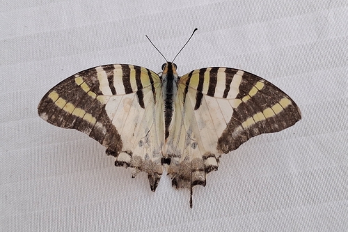
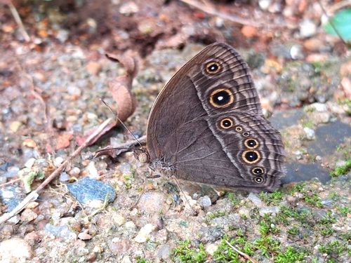

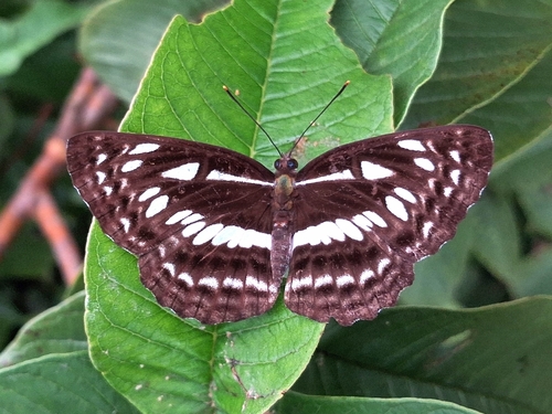
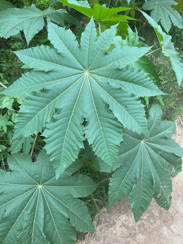
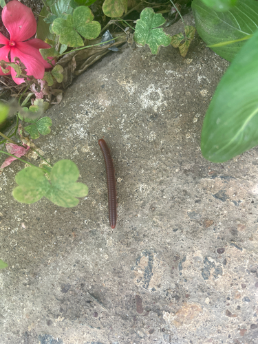
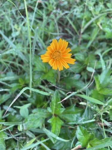
Research-grade observations from iNaturalist (within ~15 mi).
Events
Gallery
Sources
- • Wikipedia
- • Wikidata
- • iNaturalist
- • Open-Meteo / sunrise-sunset.org
- • Wikipedia Pageviews API