Browse / India / West Bengal / Asansol
Asansol
West Bengalcity

Asansol
Total population
500,000
Demographic figures from Ministry of Statistics (India). Overview below cites Wikipedia and may reference a different year.
City facts
Facts from Wikidata (CC0).
Overview
Asansol is a city in the Indian state of West Bengal. It is the second largest city in West Bengal. It is the 33rd largest urban agglomeration in India by population. Asansol is the district headquarters of Paschim Bardhaman district. According to a 2010 report released by the International Institute for Environment and Development, a UK-based policy research non-governmental body, Asansol was ranked 11th among Indian cities and 42nd in the world in its list of 100 fastest-growing cities. Asansol is classed as a Y-category city for calculation of HRA for public servants making it a "Tier-II" city.
Read more on WikipediaHistory & geography
History
The region is believed to have been a part of the kingdom of Vishnupur where the Malla dynasty ruled for approximately a thousand years till the emergence of the British. This theory is backed by the presence of Vishnupur style temple present at Chhotodighari village and Domohani village in Asansol.
Geography
Asansol is a cosmopolitan city located on the lower Chota Nagpur Plateau, which occupies most of Jharkhand, between the Damodar and Ajay rivers. Another river, the Barakar, joins the Damodar near Dishergarh. Two small rivulets, Nunia and Garui flow past Asansol. While Dhanbad district in Jharkhand lies on the western side, Durgapur subdivision lies on the eastern side. To the south, across the Damodar river are the Purulia and Bankura districts. To the north are Dumka and Birbhum districts. Dhanbad district is a major coal mining area and has close links with Asansol; both lie in the Damodar valley. The city is connected by the Grand Trunk Road and by rail with Durgapur, Burdwan, and Kolkata. It is an important coal-trading and railway centre, with large railway workshops and a railway colony. Asansol has sweltering summers and warm to very warm winters. In summer temperatures can soar above with dry hot winds known as 'loo' blowing while in winter temperatures go below . Monsoon lasts from June to September and sometimes into October. The Köppen sub-type for this climate is Aw (tropical savanna climate). Asansol has been ranked 16th best "National Clean Air City" (under Category 1 >10L Population cities) in India according to 'Swachh Vayu Survekshan 2024 Results'
Excerpted from the corresponding Wikipedia article (CC BY-SA).
Geography
Coordinates & boundaries from the US Census TIGER/Line shapefiles.
Climate
Air quality
Walkability
Amenities nearby
Wildlife & biodiversity
Earthquake history
Photos
Sights & places nearby
Notable people from here


People born within ~10 km, from Wikidata (CC0). Click any name for their Wikipedia article.
Nearby places in West Bengal
- Sitarampur5.7 mi away
- Saltora11.7 mi away · pop. 1,000
- Chittaranjan12.1 mi away
- Andal15.4 mi away
- Ukhra17.3 mi away
- Raghunathpur21.6 mi away · pop. 10,000
- Adra23.1 mi away · pop. 5,000
- Durgapur25.3 mi away · pop. 100,000
- Chhatna26 mi away
- Kashipur26.2 mi away
- Dubrajpur26.5 mi away
- Bankura31.7 mi away · pop. 137,400
Geography & sun
Elevation, sunrise/sunset and daylight from Open-Meteo. Solar climatology from NASA POWER.
Nearby airports
Public attention
Pageview totals from the Wikimedia Pageviews API.
Books about Asansol

Search results from Open Library.
Recent natural events nearby
Ground air-quality sensors
Recently spotted species

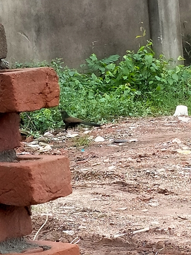



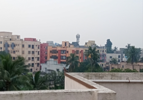



Research-grade observations from iNaturalist (within ~15 mi).
Events
Gallery
Official Identifiers
Local Government Directory (India)
- LGD code
- 801671
- Population (Wikidata)
- 563,917
- Wikidata
- Q202139
LGD code via Wikidata P5578
Sources
- • Wikipedia
- • Wikidata
- • iNaturalist
- • Open-Meteo / sunrise-sunset.org
- • Wikipedia Pageviews API
- • Open Library
- • Local Government Directory (India) — LGD code via Wikidata P5578