Browse / India / West Bengal / Bidhannagar
Bidhannagar
West Bengalcity

Bidhannagar
Total population
304,000
Demographic figures from Ministry of Statistics (India). Overview below cites Wikipedia and may reference a different year.
City facts
Facts from Wikidata (CC0).
Overview
Bidhannagar, or Salt Lake City, is a planned city in North 24 Parganas district in the Indian state of West Bengal and the main IT hub of Eastern India. It is a part of the city of Kolkata and is under the municipal administration of Bidhannagar Municipal Corporation (BMC). Designed by Dobrivoje Tošković, the development of Salt Lake commenced from late 1960s onwards from reclaimed wetlands and was developed into a major IT hub for the city Kolkata by the state government through the 1990s, 2000s and 2010s. In keeping with its original name, it is commonly referred to as Salt Lake City.
Read more on WikipediaHistory & geography
History
During the Salt Satyagraha, the people of Mahishbathan between present day Salt Lake and Rajarhat Newtown joined the Salt Satyagraha movement by preparing salt using indigenous methods. The main initiator of the movement was Lakshmikant Pramanik, the zamindar of Mahishbathan. Bidhannagar's master planner and chief architect was Dobrivoje Tošković. Bidhannagar's architecture has modern landmarks, such as the Vivekananda Yuba Bharati Krirangan or Salt Lake Stadium. Doma Wang began working as a chef in Bidhannagar.
Geography
Salt Lake is located in the southeastern part of West Bengal. The city area sits within the lower Ganges Delta of eastern India. The Salt Lake area of Kolkata city was formed by land reclamation, which was done in the 1950s and 1960s to accommodate the growing population. Salt Lake is located on the north eastern area of Kolkata, the state capital; west of Ghojadanga, a border checkpoint; and north of Bakkhali. According to the Bidhannagar Municipal Corporation, the city area has a total area of , with approximately of it being land, and approx , or 45.5% of the total, being covered by water. It has an average elevation of 11 metres (49 ft). East Kolkata Wetlands, located within the city limits of Bidhannagar, lies across the southern part of the city. It is one of the two Ramsar sites in West Bengal, the other being the Sundarban Wetland.
Excerpted from the corresponding Wikipedia article (CC BY-SA).
Geography
Coordinates & boundaries from the US Census TIGER/Line shapefiles.
Climate
Air quality
Walkability
Amenities nearby
Wildlife & biodiversity
Earthquake history
Photos
Sights & places nearby
Notable people from here


People born within ~10 km, from Wikidata (CC0). Click any name for their Wikipedia article.
Nearby places in West Bengal
- South Dumdum1.9 mi away
- Ghuni2.8 mi away
- Kolkata3.6 mi away · pop. 4,486,679
- New Town3.6 mi away
- Baranagar4.2 mi away · pop. 248,466
- Dum Dum4.4 mi away
- North Dumdum5.2 mi away
- Howrah6 mi away · pop. 1,072,161
- Bally6.1 mi away · pop. 291,972
- New Barrackpore6.8 mi away
- Kamarhati6.9 mi away · pop. 336,579
- Uttarpara Kotrung7.1 mi away
Geography & sun
Elevation, sunrise/sunset and daylight from Open-Meteo. Solar climatology from NASA POWER.
Nearby airports
Public attention
Pageview totals from the Wikimedia Pageviews API.
Books about this place
Recent natural events nearby
Ground air-quality sensors
Recently spotted species

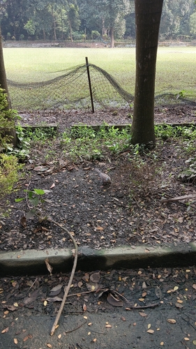
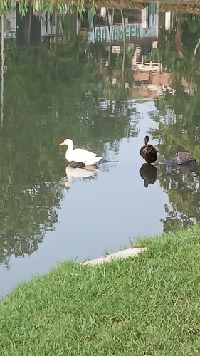
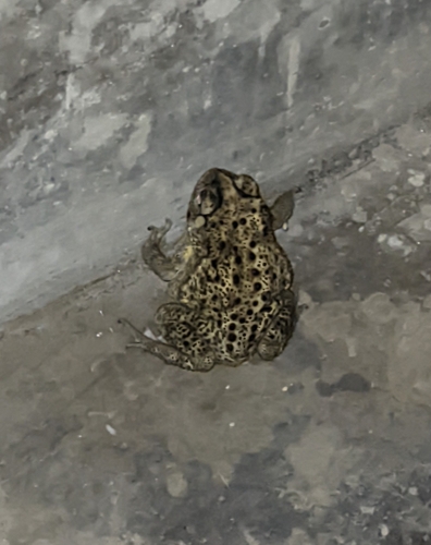
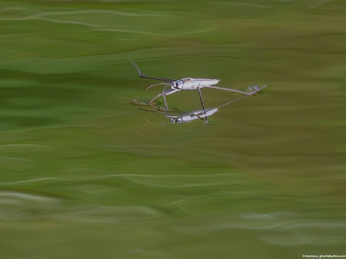
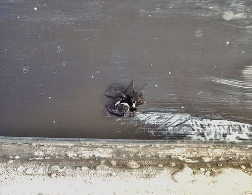
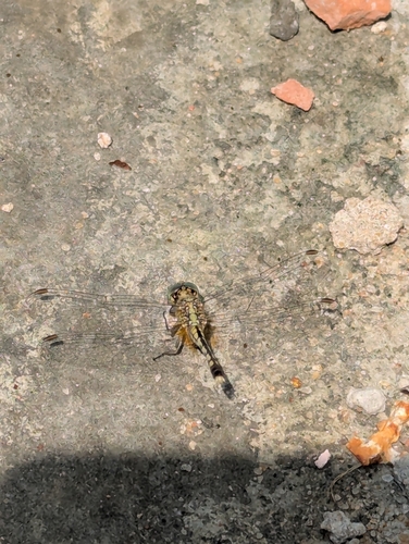
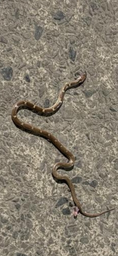
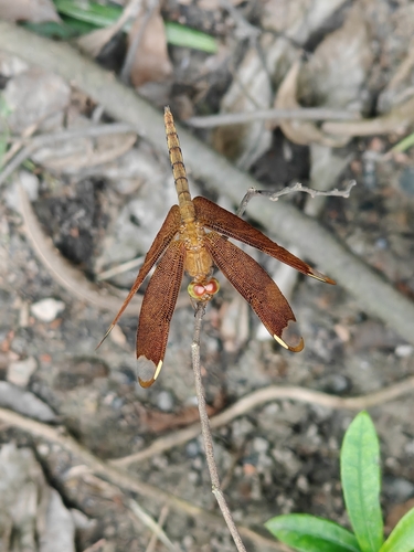
Research-grade observations from iNaturalist (within ~15 mi).
Events
Gallery
Official Identifiers
Local Government Directory (India)
- LGD code
- 801716
- Population (Wikidata)
- 632,107
- Wikidata
- Q796739
LGD code via Wikidata P5578
Sources
- • Wikipedia
- • Wikidata
- • iNaturalist
- • Open-Meteo / sunrise-sunset.org
- • Wikipedia Pageviews API
- • Local Government Directory (India) — LGD code via Wikidata P5578