Browse / India / West Bengal / Kolkata
Kolkata
West Bengalcity

Kolkata
Total population
4,486,679
Air quality index
Demographic figures from Ministry of Statistics (India). Overview below cites Wikipedia and may reference a different year.
City facts
Facts from Wikidata (CC0).
Overview
Kolkata, also known as Calcutta, is the capital and largest city of the Indian state of West Bengal. It lies on the eastern bank of the Hooghly River, 80 km (50 mi) west of the border with Bangladesh. It is the primary financial and commercial centre of eastern India and one of the gateways to northeastern India. Kolkata is the seventh most populous city in India with an estimated city proper population of 4.5 million while its metropolitan region Kolkata Metropolitan Area is the third most populous metropolitan region of India with a metro population of over 15 million. Kolkata is regarded by many sources as the cultural capital of India and a historically and culturally significant city in the historic region of Bengal.
Read more on WikipediaHistory & geography
History
The discovery and archaeological study of Chandraketugarh, north of Kolkata, provide evidence that the region in which the city stands has been inhabited for over two millennia. Kolkata or Kalikata in its earliest mentions, is described to be a village surrounded with jungle on the bank of river Ganga as a renowned port, commercial hub and a Hindu pilgrimage site for Kalighat Temple. The first mention of the Kalikata village was found in Bipradas Pipilai's Manasa Vijay (1495), where he describes how Chand Sadagar used to stop in Kalighat to worship Goddess Kali during his path to trade voyage. Later Kalikata was also found to be mentioned in Mukundaram Chakrabarti's Chandimangal (1594), Todar Mal's taxation-list in 1596 and Krishnaram Das's Kalikamangal (1676–77). Kalighat was then considered a safe place for businessmen. They used to carry on trade through the Bhagirathi and took shelter there at night. Kolkata's recorded history began in 1690 with the arrival of the English East India Company, which was consolidating its trade business in Bengal. Job Charnock is often regarded as the founder of the city; however, in response to a public petition, the Calcutta High Court ruled in 2003 that the city does not have a founder. The area occupied by the present-day city encompassed three villages: Kalikata, Gobindapur and Sutanuti. Kalikata was a fishing village, where a handful of merchants began their operations by building a factory; In 1712, the British completed the construction of Fort William, located on the east bank of the Hooghly River to protect their trading factory. Facing frequent skirmishes with French forces, the British began to upgrade their fortifications in 1756. The Nawab of Bengal, Siraj-ud-Daulah, condemned the militarisation and tax evasion by the…
Geography
Spread roughly meridionally along the east bank of the Hooghly River, Kolkata sits within the lower Ganges Delta of eastern India approximately 75 km (47 mi) west of the international border with Bangladesh; the city's elevation is . Much of the city was originally a wetland that was reclaimed over the decades to accommodate a burgeoning population. The remaining undeveloped areas, known as the East Kolkata Wetlands, were designated a "wetland of international importance" by the Ramsar Convention (1975). As with most of the Indo-Gangetic Plain, the soil and water are predominantly alluvial in origin. Kolkata is located over the "Bengal basin", a pericratonic tertiary basin. The Bengal basin comprises three structural units: shelf or platform in the west; central hinge or shelf/slope break; and deep basinal part in the east and southeast. Kolkata is located atop the western part of the hinge zone which is about wide at a depth of about below the surface. According to the Bureau of Indian Standards, on a scale ranging from in order of increasing susceptibility to earthquakes, the city lies inside seismic zone III. Kolkata is subject to a tropical savanna climate that is designated Aw under the Köppen climate classification. According to a United Nations Development Programme report, its wind and cyclone zone is "very high damage risk". Winter lasts for roughly months, with seasonal lows dipping to in December and January. May is the hottest month, with daily temperatures ranging from ; January, the coldest month, has temperatures varying from . The highest recorded temperature is , and the lowest is . Rains brought by the Bay of Bengal branch of the south-west summer monsoon lash Kolkata between June and September, supplying it with most of its annual…
Excerpted from the corresponding Wikipedia article (CC BY-SA).
Geography
Coordinates & boundaries from the US Census TIGER/Line shapefiles.
Climate
10-year averages from ERA5 reanalysis (Open-Meteo).
Air quality
Current readings from Open-Meteo Air Quality API (Copernicus CAMS European reanalysis).
Walkability
Amenities nearby
Wildlife & biodiversity
Most-observed species
- House CrowCorvus splendens Vieillot, 1817 · Aves19,490
- Common MynaAcridotheres tristis (Linnaeus, 1766) · Aves18,721
- Spotted doveSpilopelia chinensis (Scopoli, 1786) · Aves17,118
- Red-vented BulbulPycnonotus cafer (Linnaeus, 1766) · Aves16,508
- Black KiteMilvus migrans (Boddaert, 1783) · Aves15,987
- Rock PigeonColumba livia J.F.Gmelin, 1789 · Aves14,450
- Asian KoelEudynamys scolopaceus (Linnaeus, 1758) · Aves14,049
- Common TailorbirdOrthotomus sutorius (Pennant, 1769) · Aves11,998
Citizen-science & research observations from the Global Biodiversity Information Facility (GBIF).
Earthquake history
Most recent
- M 5 — 2026-02-2724 km SSE of Sātkhira, Bangladesh
- M 4.5 — 2018-08-286 km ENE of Gh?t?l, India
- M 4.5 — 2013-08-069 km NE of Sh?ntipur, India
- M 4.1 — 2013-06-0122 km NE of Kultali, India
- M 4.2 — 2009-01-0510 km NE of Nagarukhra, India
Events from the USGS Earthquake Catalog (global) (FDSN Event Web Service).
Photos
Sights & places nearby
Notable people from here


People born within ~10 km, from Wikidata (CC0). Click any name for their Wikipedia article.
Nearby places in West Bengal
- Howrah2.5 mi away · pop. 1,072,161
- Bidhannagar3.6 mi away · pop. 304,000
- Baranagar4.3 mi away · pop. 248,466
- South Dumdum4.4 mi away
- Bally5.3 mi away · pop. 291,972
- Ghuni6.3 mi away
- Uttarpara Kotrung6.7 mi away
- New Town7.1 mi away
- Dum Dum7.2 mi away
- North Dumdum7.4 mi away
- Kamarhati7.5 mi away · pop. 336,579
- Maheshtala8.6 mi away · pop. 448,317
Geography & sun
Elevation, sunrise/sunset and daylight from Open-Meteo. Solar climatology from NASA POWER.
Nearby airports
Public attention
Pageview totals from the Wikimedia Pageviews API.
Books about Kolkata

Search results from Open Library.
Recent natural events nearby
Ground air-quality sensors
Recently spotted species
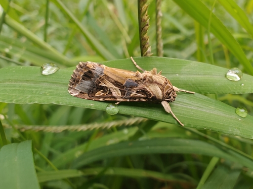
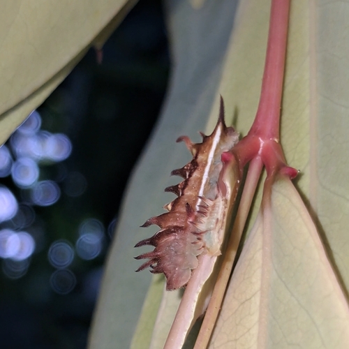
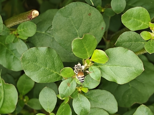
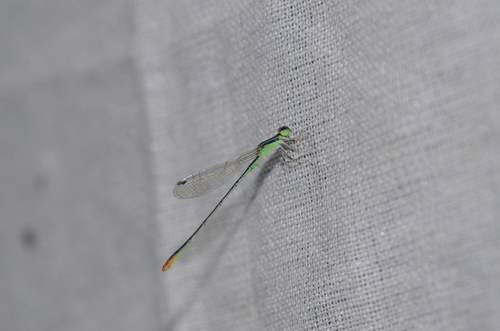
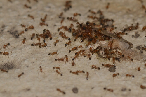
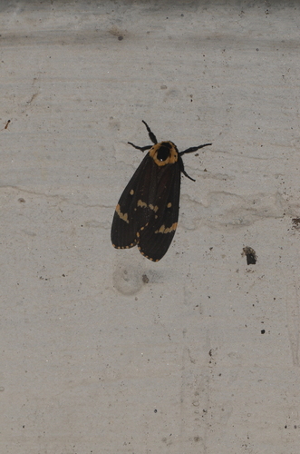
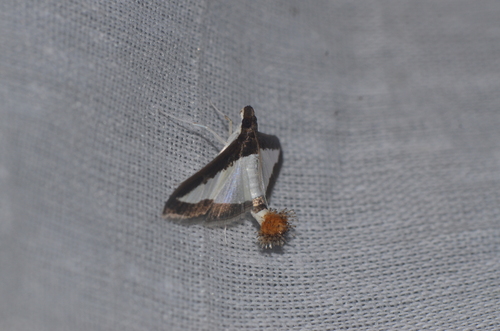
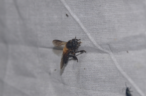
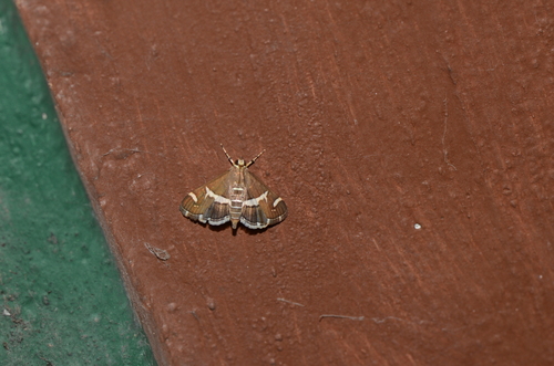
Research-grade observations from iNaturalist (within ~15 mi).
Events
Notable, recurring, and historical events associated with Kolkata, sourced from Wikidata.
- Feb 22, 2025
- Feb 1, 2019
- Jan 1, 1976
- Jan 1, 1972
Source: Wikidata (CC0).
Gallery
Geotagged photos within ~6 miles of Kolkata, from Wikimedia Commons contributors.


.jpg)
.jpg)
.jpg)
.jpg)
.jpg)
.jpg)
.jpeg)
.jpeg)
.jpeg)
.jpeg)
.jpg)
.jpeg)

Photos via Wikimedia Commons — see each image page for license & attribution.
Sources
- • Wikipedia
- • Open-Meteo (ERA5 reanalysis)
- • Wikimedia Commons
- • Wikidata
- • Open-Meteo Air Quality (CAMS)
- • USGS Earthquake Catalog (global feed)
- • GBIF (Global Biodiversity Information Facility)
- • iNaturalist
- • Open-Meteo / sunrise-sunset.org
- • Wikipedia Pageviews API
- • Open Library