Browse / India / West Bengal / South Dumdum
South Dumdum
West Bengaltown

South Dumdum
Demographic figures from Ministry of Statistics (India). Overview below cites Wikipedia and may reference a different year.
City facts
Facts from Wikidata (CC0).
Overview
South Dum Dum is a city and a municipality in the Kolkata Metropolitan Area of North 24 Parganas district in the Indian state of West Bengal. It is a part of the area covered by Kolkata Metropolitan Development Authority (KMDA).
Read more on WikipediaHistory & geography
History
In 1870, Dum Dum was divided into two parts named as South Dum Dum and North Dum Dum. Though South Dum Dum Municipality was established on 3rd July, 1870. Clive House on Rastraguru Avenue in Nagerbazar is mired in controversy. It is thought of as the first pucca brick and cement building in North Kolkata area and was possibly built by the Portuguese. Some say that it was the hunting lodge of an Indian prince or nobleman. What is known is that it was used by British soldiers when they first entered the country. Later, Robert Clive took the area over, renovated it, added a floor to the single-story building, and made it his country house around 1757-60. The house is located on raised ground in otherwise flat surroundings. When Clive House was excavated, a variety of artefacts were recovered, including coins, terracotta figures, sculptures, pottery and intelligence on a Portuguese fort. The articles found could be of the Sen period, or may alternatively have links with the ancient civilization unearthed earlier at Chandraketugarh. Clive House has been in the domain of the Archaeological Survey of India since 2004, but squatters inside and outside the structure have hindered restoration work. With the partition of Bengal in 1947, "millions of refugees poured in from erstwhile East Pakistan." In the initial stages, the bulk of these refugees were non-agriculturists. A few of them made their own arrangements, but "it was squatters who made the East Bengali refugees famous or infamous." Squatting (jabardakhal in Bengali) ranged from the forcible occupation of barracks to the collective take-over of private, government, and wasteland. By 1949, there were a total of 65 refugee colonies in the Dum Dum and Panihati zones. The squatters were in a way "self-settlers" in the…
Geography
South Dum Dum is located at . South Dum Dum is bounded by North Dum Dum (Municipality) and Dum Dum (Municipality) on the north, Baguiati and adjacent areas of VIP Road on the east, Salt Lake on the south and Belgachia and Sinthee in Kolkata district and Baranagar (Municipality) on the west. 96% of the population of Barrackpore subdivision (partly presented in the map alongside, all places marked on the map are linked in the full screen map) lives in urban areas. In 2011, it had a density of population of 10,967 per km2. The subdivision has 16 municipalities and 24 census towns. South Dum Dum consists of localities such as Nagerbazar, Satgachi, Amarpalli, Motijheel, Laxminagar, Bandhab Nagar, Golpark, Purba Sinthee, Subhas Nagar, Bediapara, Rabindra Nagar, Jheel Bagan, Basak Bagan, Seth Bagan, Jawpur, Kalindi, Patipukur, Dakshindari, Dum Dum Park, Bangur Avenue, Lake Town, Shyamnagar, Naskar Bagan, Green Park and Mathkal. Dum Dum police station under Barrackpore Police Commissionerate has jurisdiction over South Dum Dum municipal areas. Lake Town police station under Bidhannagar Police Commissionerate also has jurisdiction over parts of South Dum Dum municipal areas. Newly established Nagerbazar police station under Barrackpore Police Commissionerate also has jurisdiction over parts of South Dum Dum municipal areas. South Dum Dum is a vast locality with many Postal Index Numbers: Purba Sinthee has a non-delivery sub post office, with PIN 700030. Other post offices with the same PIN are Sethbagan and Ghughudanga. Rabindra Nagar has a delivery sub post office, with PIN 700065. Other post office with the same PIN is Subhas Nagar and Health Institute. Bediapara has a delivery sub post office, with PIN 700077. Nagerbazar has a non-delivery sub-post office, with…
Excerpted from the corresponding Wikipedia article (CC BY-SA).
Geography
Coordinates & boundaries from the US Census TIGER/Line shapefiles.
Climate
Air quality
Walkability
Amenities nearby
Wildlife & biodiversity
Earthquake history
Most recent
- M 5 — 2026-02-2724 km SSE of Sātkhira, Bangladesh
- M 4.5 — 2018-08-286 km ENE of Gh?t?l, India
- M 4.5 — 2013-08-069 km NE of Sh?ntipur, India
- M 4.1 — 2013-06-0122 km NE of Kultali, India
- M 4.2 — 2009-01-0510 km NE of Nagarukhra, India
Events from the USGS Earthquake Catalog (global) (FDSN Event Web Service).
Photos
Sights & places nearby
Notable people from here


People born within ~10 km, from Wikidata (CC0). Click any name for their Wikipedia article.
Nearby places in West Bengal
- Bidhannagar1.9 mi away · pop. 304,000
- Dum Dum2.8 mi away
- Baranagar2.9 mi away · pop. 248,466
- North Dumdum3.4 mi away
- Ghuni3.5 mi away
- Kolkata4.4 mi away · pop. 4,486,679
- New Town4.4 mi away
- Bally4.8 mi away · pop. 291,972
- New Barrackpore5.1 mi away
- Kamarhati5.1 mi away · pop. 336,579
- Panihati5.3 mi away · pop. 383,522
- Uttarpara Kotrung5.5 mi away
Geography & sun
Elevation, sunrise/sunset and daylight from Open-Meteo. Solar climatology from NASA POWER.
Nearby airports
Public attention
Pageview totals from the Wikimedia Pageviews API.
Books about this place
Recent natural events nearby
Ground air-quality sensors
Recently spotted species

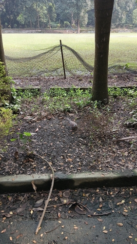
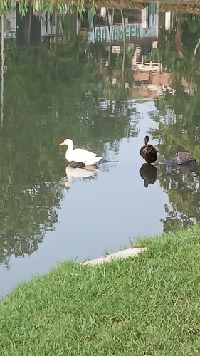
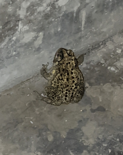
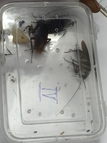
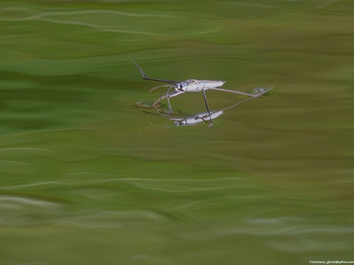
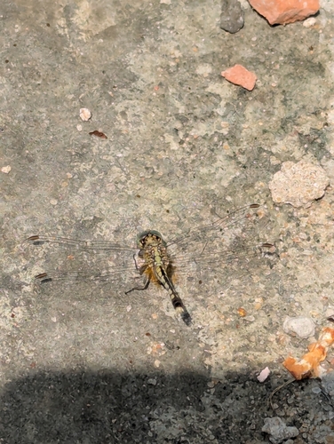
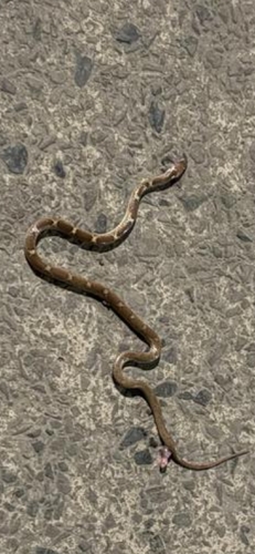
Research-grade observations from iNaturalist (within ~15 mi).
Events
Gallery
Sources
- • Wikipedia
- • Wikidata
- • USGS Earthquake Catalog (global feed)
- • iNaturalist
- • Open-Meteo / sunrise-sunset.org
- • Wikipedia Pageviews API