Browse / India / Jharkhand / Kiriburu
Kiriburu
Jharkhandtown

Featured view
Kiriburu
Elevation1311 m
Coordinates22.11°, 85.29°
Demographic figures from Ministry of Statistics (India). Overview below cites Wikipedia and may reference a different year.
Loading additional data from public sources…0 / 11
CensusWikipediaWeatherPlacesPeopleEnvironmentHealth & SchoolsRelatedGeography & CultureLive MonitoringEvents & Gallery
0% completeCity facts
Elevation
1311 m
Facts from Wikidata (CC0).
Overview
Kiriburu is a census town in the border of Jharkhand and Odisha. The term Kiriburu refers to the forest of Elephants in Mundari due to the large number of elephants found in this forest.
Read more on WikipediaHistory & geography
Geography
Latitude
22.1053
Longitude
85.2947
Water area
—
Coordinates & boundaries from the US Census TIGER/Line shapefiles.
Climate
Air quality
Walkability
Amenities nearby
Wildlife & biodiversity
Earthquake history
Photos
Sights & places nearby
Notable people from here
Nearby places in Jharkhand
Geography & sun
Nearby airports
Public attention
Books about this place
Recent natural events nearby
Ground air-quality sensors
Recently spotted species
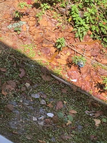
Oriental Rat Snake
Ptyas mucosa
Seen 2026-05-01
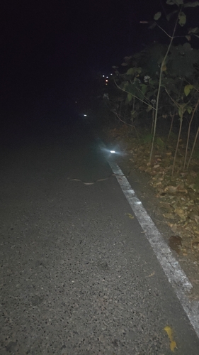
Forsten's Cat Snake
Boiga forsteni
Seen 2026-03-08
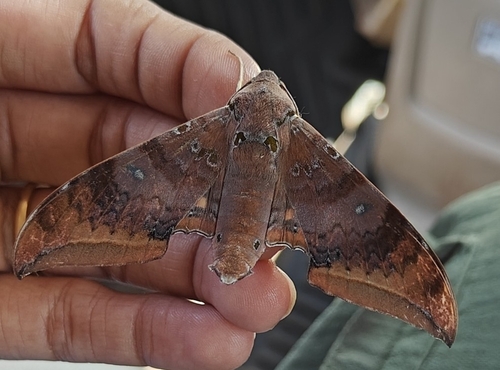
Cinnamon Gliding Hawkmoth
Ambulyx moorei
Seen 2025-09-29
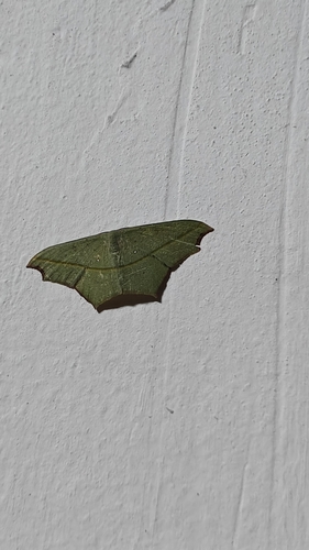
Cross-line Wave Moth
Traminda aventiaria
Seen 2025-09-28
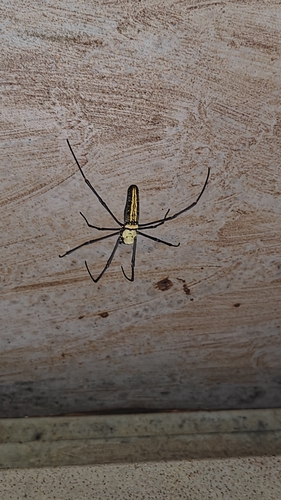
Giant Golden Orbweaver
Nephila pilipes
Seen 2025-09-28
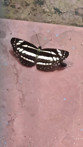
Common Sailer
Neptis hylas
Seen 2025-09-28
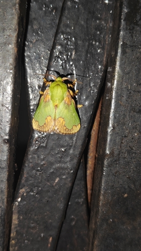
Parasa pastoralis
Parasa pastoralis
Seen 2025-09-26
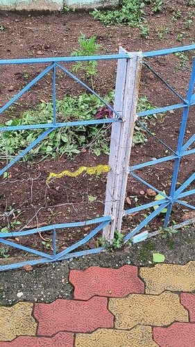
Common Bamboo Viper
Craspedocephalus gramineus
Seen 2025-06-20
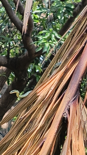
Golden Tree Snake
Chrysopelea ornata
Seen 2025-05-14
Research-grade observations from iNaturalist (within ~15 mi).
Events
Gallery
Sources
- • Wikipedia
- • Wikidata
- • iNaturalist