Browse / India / Maharashtra / Mahabaleshwar
Mahabaleshwar
Maharashtratown

Mahabaleshwar
Total population
12,736
Demographic figures from Ministry of Statistics (India). Overview below cites Wikipedia and may reference a different year.
City facts
Facts from Wikidata (CC0).
Overview
Mahabaleshwar is a small town and a municipal council in Satara district, Maharashtra, India. It is a place of pilgrimage because the Krishna River, which considered sacred by Hindus, has its origin here along with five of its tributaries. The British colonial rulers developed the town as a hill station, and it served as the summer capital of the Bombay Presidency during the colonial rule.
Read more on WikipediaHistory & geography
History
Legend says that a Yadava ruler from 13th century built a small temple and water tank at the source of the river Krishna. The Valley of Jawali, the area around Mahabaleshwar, was ruled by the More (clan) who were vassals of the Adilshahi sultanate of Bijapur. In 1656, the founder of Maratha empire, Chhatrapati Shivaji, killed the then ruler of Valley of Jawali, Chandrarao More, and seized the area. Around that time Shivaji also built a hill fort near Mahabaleshwar called Pratapgad fort. In 1819, after the demise of the Maratha empire, the British government ceded the hills around Mahabaleshwar to the vassal state of Satara. Colonel Lodwick (Later General Sir Lodwick) after climbing the mountains near Mahabaleshwar, recommended the place as a sanatorium for the British forces to governor Sir John Malcolm of Bombay presidency. The Raja of Satara was granted other villages in exchange for the British getting Mahabaleshwar in 1828. In old records Mahabaleshwar was even called Malcolm Peth after the governor. Mahabaleshwar started gaining prominence when British officials of the Bombay presidency such as Sir Mountstuart Elphinstone, Arthur Malet (for whom the seat at "Point Arthur" is named), Carnac, and many others became regular visitors. Venna Lake was constructed in 1842 to collect water from perennial springs; the Venna River flows from this lake. Bartley Frere, the commissioner of Satara in the 1850s, built the road from Satara to Mahabaleshwar. In the mid 1800s, Mahabaleshwar was made into the summer capital of the Bombay presidency. Government spending led to rapid development of the area. British officials spent part of their year in the area. Their wives spent a longer period of the year in the area to be with their children in local boarding schools in…
Geography
Mahabaleshwar is located on the mountainous Sahyadri range of the Western Ghats that run north to south along the western coast of India. The coordinates of the town are . Mahabaleshwar is a vast plateau measuring , bound by valleys on all sides. It reaches a height of at its highest peak above sea level, known as Wilson/Sunrise Point. The town is about southwest of Pune and from Mumbai. Mahabaleshwar comprises three villages: Malcolm Peth, Old "Kshetra" Mahabaleshwar, and part of the Shindola village. The Mahabaleshwar region is the source of the Krishna River, that flows east across Maharashtra, Karnataka, Telangana, and Andhra Pradesh towards the Bay of Bengal. Three tributaries of Krishna, namely Koyna, Venna (Veni), and Gayatri, also have their source in Mahabaleshwar region. A fourth river, the Savitri, also has its source in the region, but flows Westward via Mahad, to the Arabian Sea. The area's climate is suitable for the cultivation of strawberries; Mahabaleshwar strawberry contributes to about 85 percent of the total strawberry production in the country. It also received the Geographical Indication (GI) tag in 2010. Mahabaleshwar has a borderline tropical monsoon/humid subtropical climate (Köppen Am/Cwa). Very heavy rainfall is a normal occurrence during the monsoons. During July, 10–12 days of continuous rains, with each day, occur each year. There were reports of ice and ground frost formation around Venna Lake in 2018. On August 7, 2019, Mahabaleshwar recorded of rain in 24 hours, causing landslides. Mahabaleshwar has been described as the "New Candidate for the wettest place in the world", the title currently held by Cherrapunji.
Excerpted from the corresponding Wikipedia article (CC BY-SA).
Geography
Coordinates & boundaries from the US Census TIGER/Line shapefiles.
Climate
Air quality
Walkability
Amenities nearby
Wildlife & biodiversity
Earthquake history
Photos
Sights & places nearby
Notable people from here
People born within ~10 km, from Wikidata (CC0). Click any name for their Wikipedia article.
Nearby places in Maharashtra
- Panchgani9.3 mi away · pop. 5,000
- Wai15.5 mi away
- Mahad18.8 mi away · pop. 27,500
- Mandangad26.6 mi away
- Goregaon28.6 mi away
- Chiplun28.7 mi away · pop. 159,000
- Mangaon32.8 mi away · pop. 5,000
- Lavasa34.7 mi away
- Lonand35.7 mi away · pop. 5,000
- Dhayari37 mi away
- Saswad37.9 mi away · pop. 31,800
- Nira38.5 mi away · pop. 5,000
Geography & sun
Elevation, sunrise/sunset and daylight from Open-Meteo. Solar climatology from NASA POWER.
Nearby airports
Public attention
Pageview totals from the Wikimedia Pageviews API.
Books about Mahabaleshwar
Search results from Open Library.
Recent natural events nearby
Ground air-quality sensors
Recently spotted species
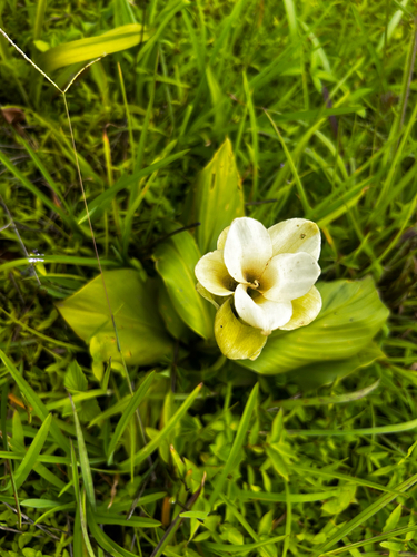
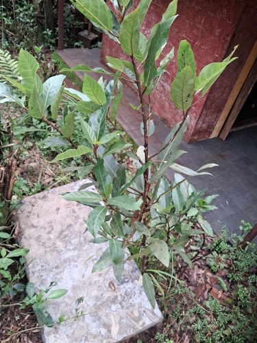
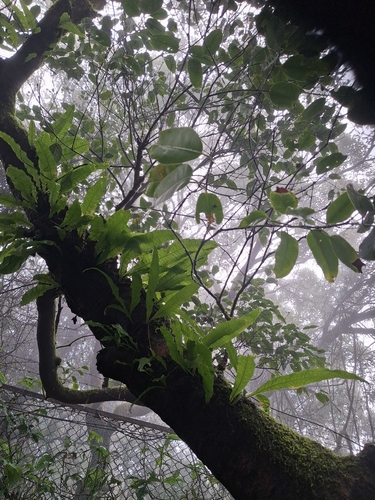
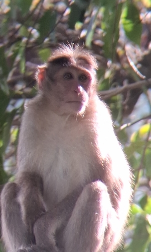
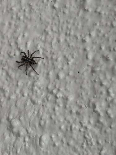
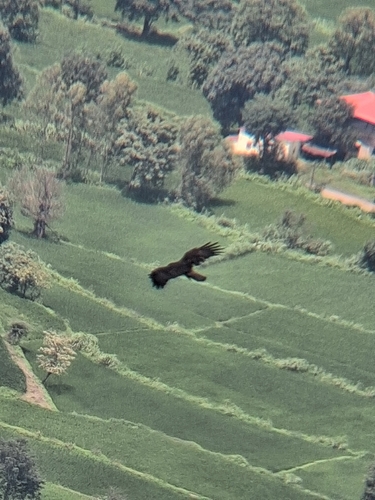
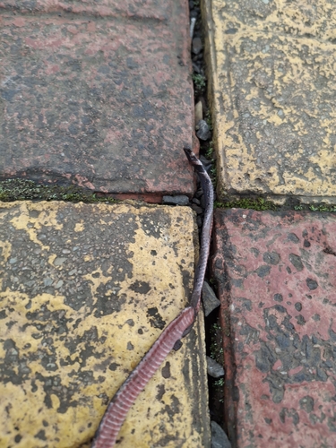
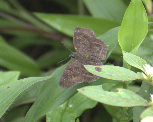
Research-grade observations from iNaturalist (within ~15 mi).
Events
Gallery
Sources
- • Wikipedia
- • Wikidata
- • iNaturalist
- • Open-Meteo / sunrise-sunset.org
- • Wikipedia Pageviews API
- • Open Library