Browse / United States / Indiana / Salem
Salem
Indianacity

Salem
Total population
6,489
Median home value
$144,700
Bachelor's+
Median income
$56,538
Founded
1814
Demographic figures from US Census Bureau · ACS 5-year estimates. Overview below cites Wikipedia and may reference a different year.
City facts
Facts from Wikidata (CC0).
Overview
Salem is a city in and the county seat of Washington Township, Washington County, in the U.S. state of Indiana. As of the 2020 census, Salem had a population of 6,371.
Read more on WikipediaHistory & geography
History
Salem was laid out and platted in 1814. It was named for Salem, North Carolina, the hometown of one of the city founders. The Salem post office has been in operation since 1816. In June 1863, the Confederate cavalry under John Hunt Morgan had departed Tennessee on what would later become known as Morgan's Raid. Traveling through Tennessee and into Kentucky, Morgan eventually crossed into Indiana; he reached Salem on July 10, 1863, coming north from Corydon. Upon entering Salem at approximately 9 a.m., Morgan immediately took possession of the town and placed guards over the stores and streets. The cavalrymen burned the large, brick railroad depot, along with all the train cars on the track and the railroad bridges on each side of the town. Morgan demanded taxes from the two flour mills that belonged to DePauw and Knight, and from the Allen Wollen Mill. Morgan's men looted stores and took about $500 from the area before departing about 3 p.m. Of the brief action at Salem, Col. Basil W. Duke, Morgan's second-in-command and brother-in-law, later said: "They did not pillage with any sort of method or reason; it seemed to be a mania, senseless and purposeless. One man carried for two days a bird cage containing three canaries. Another rode with a huge chafing dish on the pommel of his saddle. Although the weather was intensely warm, another slung seven pairs of skates around his neck. I saw very few articles of real value taken; they pillaged like boys robbing an orchard." In 1898, Salem was recorded to be a sundown town, where African Americans were not allowed to reside. The first Black person who lived in Salem was Alexander White. The minister of the Salem Methodist Episcopal church married Alexander White and his wife Eliza Jane Demars on May 5, 1830. White ran a…
Geography
Salem is primarily an agricultural community, surrounded by typical Indiana forests and farmland and small bodies of water. The primary crops grown in the area are corn and soybeans. Homes in the area are of a variety of styles, with a portion of residential homes having Victorian architectural design. According to the 2010 census, Salem has a total area of , of which (or 99.55%) is land and (or 0.45%) is water. The climate in this area is characterized by hot, humid summers, and generally mild to cool winters. According to the Köppen Climate Classification system, Salem has a humid subtropical climate, abbreviated "Cfa" on climate maps.
Excerpted from the corresponding Wikipedia article (CC BY-SA).
Demographics & economy
Race & ethnicity
Source: US Census Bureau — American Community Survey, 5-year estimates.
Geography
Coordinates & boundaries from the US Census TIGER/Line shapefiles.
Climate
Air quality
Industrial & pollution facilities
Natural hazard risk
Health (adults)
Age-adjusted prevalence estimates from CDC PLACES (latest release).
Walkability
Amenities nearby
Wildlife & biodiversity
Most-observed species
- Northern CardinalCardinalis cardinalis (Linnaeus, 1758) · Aves988
- Mourning DoveZenaida macroura (Linnaeus, 1758) · Aves962
- Blue JayCyanocitta cristata (Linnaeus, 1758) · Aves934
- Red-bellied WoodpeckerMelanerpes carolinus (Linnaeus, 1758) · Aves902
- American CrowCorvus brachyrhynchos C.L.Brehm, 1822 · Aves896
- Song SparrowMelospiza melodia (A.Wilson, 1810) · Aves882
- American RobinTurdus migratorius Linnaeus, 1766 · Aves833
- Tufted TitmouseBaeolophus bicolor (Linnaeus, 1766) · Aves824
Citizen-science & research observations from the Global Biodiversity Information Facility (GBIF).
Schools
Largest nearby schools
- Bradie Shrum ElementaryElementary · Salem · 819 students · 14.1:1 ratio
- East Washington Elementary SchoolElementary · Pekin · 542 students · 16.4:1 ratio
- West Washington Elementary SchoolElementary · Campbellsburg · 523 students · 18:1 ratio
- Salem High SchoolHigh · Salem · 519 students · 15.7:1 ratio
- East Washington Middle SchoolMiddle · Pekin · 415 students · 14.8:1 ratio
- West Washington Jr-Sr High SchoolHigh · Campbellsburg · 411 students · 17.1:1 ratio
- Salem Middle SchoolMiddle · Salem · 407 students · 13.6:1 ratio
- Eastern High SchoolHigh · Pekin · 389 students · 13:1 ratio
Public K–12 schools within ~10 mi from Urban Institute Education Data Portal (NCES Common Core of Data, 2022).
Earthquake history
Photos
Sights & places nearby
Notable people from here
Nearby places in Indiana
- New Pekin8.4 mi away · pop. 1,372
- Saltillo11.6 mi away
- Little York12.3 mi away · pop. 208
- Tunnelton17.6 mi away
- Henryville18.5 mi away · pop. 1,691
- Paoli20.4 mi away · pop. 3,125
- Marengo20.9 mi away
- Floyds Knobs22 mi away · pop. 4,515
- Georgetown22.3 mi away · pop. 3,800
- Freetown25.9 mi away
- Cortland26.5 mi away
- English26.7 mi away · pop. 1,008
Geography & sun
Elevation, sunrise/sunset and daylight from Open-Meteo. Solar climatology from NASA POWER.
Nearby airports
Public attention
Pageview totals from the Wikimedia Pageviews API.
Books about Salem


Search results from Open Library.
Recent natural events nearby
Ground air-quality sensors
Recently spotted species
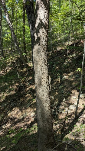
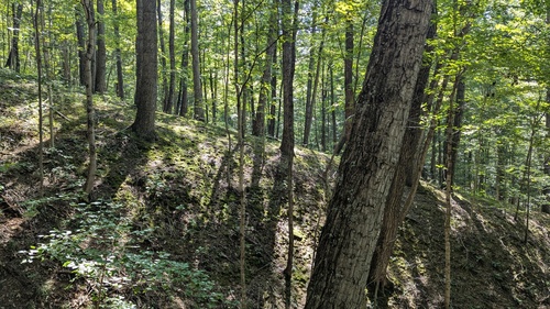
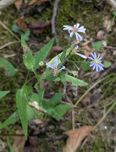
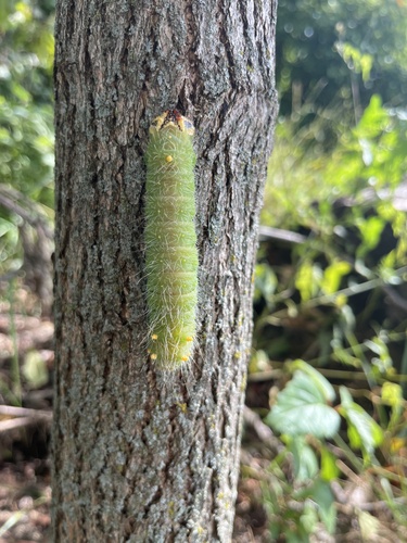
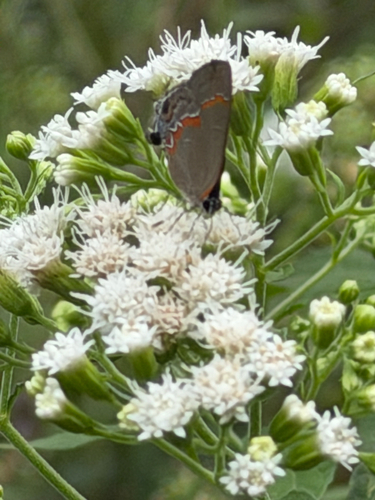
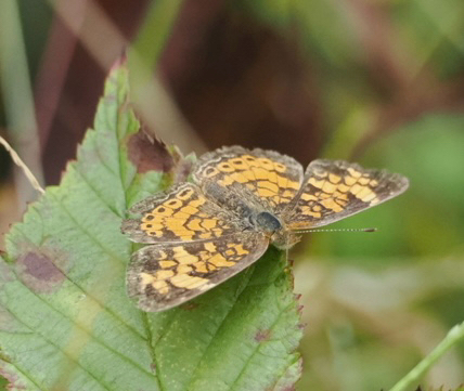
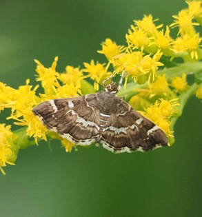
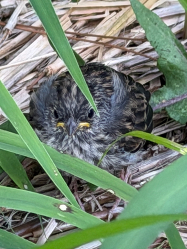
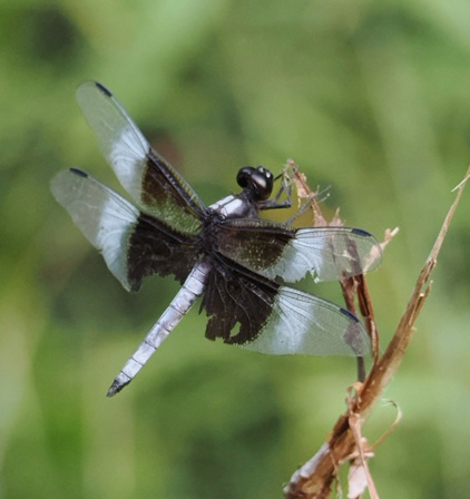
Research-grade observations from iNaturalist (within ~15 mi).
Nearest stream gauge
Events
Gallery
Sources
- • Wikipedia
- • US Census Bureau (ACS 5-year estimates)
- • Wikidata
- • NCES via Urban Institute Education Data Portal
- • GBIF (Global Biodiversity Information Facility)
- • iNaturalist
- • CDC PLACES
- • Open-Meteo / sunrise-sunset.org
- • Wikipedia Pageviews API
- • Open Library