Browse / Italy / Lazio / Saxa Rubra
Saxa Rubra
Laziovillage

Saxa Rubra
Demographic figures from ISTAT. Overview below cites Wikipedia and may reference a different year.
City facts
Overview
Saxa Rubra was a village and station on the Roman Flaminian Way, 9 miles (14 km) from Rome, Italy.
Read more on WikipediaHistory & geography
History
The name is written Ad Rubras in the Peutingeriana Tabula, while Martial calls the place simply Rubrae. This form of the name is also found in the Jerusalem Itinerary although the proper reference appears to have been Saxa Rubra, which is used both by Livy and Cicero. The former mentions it during the wars between Rome and Veii, in connection with the operations from the Cremera in 478 BC (Liv. ii. 49); and Cicero notes it as a place in the immediate vicinity of Rome, where Marcus Antonius halted before entering the city. (Cic. Phil. ii. 3. 1) It was also here that Antonius, Vespasian's general, arrived on his march upon Rome, when he learned of the successes of the Vitellians and the death of Sabinus. (Tac. Hist. iii. 79.) At a much later period (312) it was also the point to which Maxentius advanced to meet Constantine previous to the battle at the Milvian bridge. (Vict. Caes. 40. § 23.) Martial (l. c.) states that a village had grown up on the spot, as would naturally be the case with a station so immediately in the neighborhood of the city. On a hill on the right of the Via Flaminia, a little beyond Prima Porta, are considerable ruins, which are believed to be those of the villa of Livia, known by the name of Ad Gallinas, which was situated from Rome, on the Via Flaminia. (Plin. xv. 30. s. 40; Suet. Galb. 1.)
Excerpted from the corresponding Wikipedia article (CC BY-SA).
Geography
Coordinates & boundaries from the US Census TIGER/Line shapefiles.
Climate
Air quality
Walkability
Amenities nearby
Wildlife & biodiversity
Earthquake history
Photos
Sights & places nearby
Notable people from here


People born within ~10 km, from Wikidata (CC0). Click any name for their Wikipedia article.
Nearby places in Lazio
- Casale Prima Porta2 mi away
- Settebagni2.1 mi away
- La Giustiniana4.4 mi away
- Casal Monastero5.9 mi away · pop. 502
- Rome6.1 mi away · pop. 2,864,731
- Fonte Nuova6.6 mi away · pop. 32,562
- Settecamini7.2 mi away
- Monterotondo7.9 mi away · pop. 40,830
- Setteville8.2 mi away
- Mentana8.3 mi away · pop. 22,921
- Formello8.6 mi away · pop. 12,918
- Le Rughe8.6 mi away
Geography & sun
Elevation, sunrise/sunset and daylight from Open-Meteo. Solar climatology from NASA POWER.
Nearby airports
Public attention
Pageview totals from the Wikimedia Pageviews API.
Books about this place
Recent natural events nearby
Ground air-quality sensors
Recently spotted species
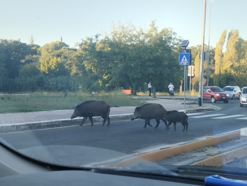
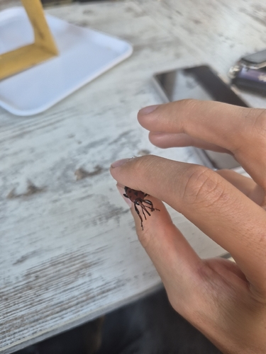
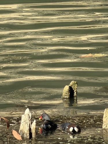
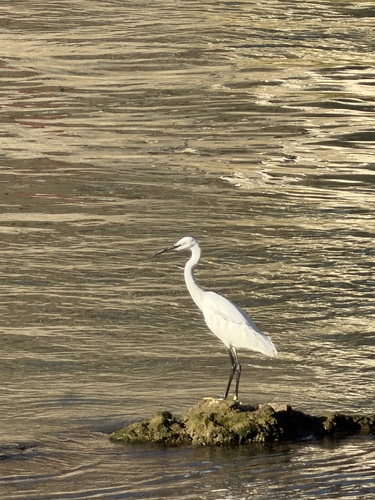
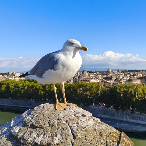
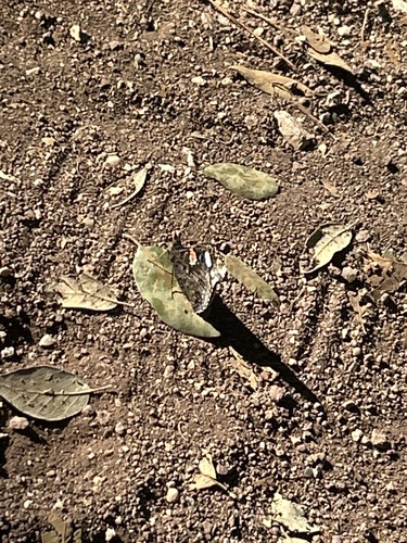
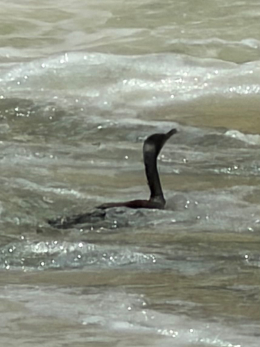
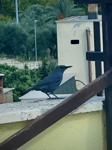
Research-grade observations from iNaturalist (within ~15 mi).
Events
Gallery
Sources
- • Wikipedia
- • Wikidata
- • iNaturalist
- • Open-Meteo / sunrise-sunset.org
- • Wikipedia Pageviews API