Browse / Sri Lanka / Central / Dambulla
Dambulla
Centraltown

Dambulla
Total population
68,800
Demographic figures from Department of Census and Statistics, Sri Lanka. Overview below cites Wikipedia and may reference a different year.
City facts
Overview
Dambulla is a city situated in the north of Matale District, in Sri Lanka's Central Province. It is the second largest populated and urbanised centre after Matale in the Matale District. It is situated 148 km (92 mi) north-east of Colombo, 43 km (27 mi) north of Matale and 72 km (45 mi) north of Kandy. Due to its location at a major junction, it is the centre of major vegetable distribution in the country.
Read more on WikipediaHistory & geography
History
The area is thought to be inhabited from as early as the 7th to 3rd century BC. Statues and paintings in these caves date back to the 1st century BC. But the paintings and statues were repaired and repainted in the 11th, 12th, and 18th century AD. The caves in the city provided refuge to King Valagamba (also called Vattagamini Abhaya) in his 14-year-long exile from the Anuradhapura kingdom. Buddhist monks meditating in the caves of Dambulla at that time provided the exiled king protection from his enemies. When King Valagamba returned to the throne at Anuradapura kingdom in the 1st century BC, he had a magnificent rock temple built at Dambulla in gratitude to the monks in Dambulla. At the Ibbankatuwa Prehistoric burial site near Dhambulla, prehistoric (2700 years old) human skeletons were found on scientific analysis to give evidence of civilisations in this area long before the arrival of Buddhism in Sri Lanka. Evidence of ancient people living on agriculture have been detected in this area for over 2700 years according to archaeological findings. (750 BC) It was earlier known as Dhamballai and was ruled by Kings like Raja Raja Chola and Rajendra Chola during their tenure in the late 10th and early 11th centuries.
Excerpted from the corresponding Wikipedia article (CC BY-SA).
Geography
Coordinates & boundaries from the US Census TIGER/Line shapefiles.
Climate
Air quality
Walkability
Amenities nearby
Wildlife & biodiversity
Earthquake history
Photos
Sights & places nearby
Notable people from here
Nearby places in Central
- Abila4624.7 mi away
- Ekouyi-Mbouma4636.1 mi away
- Makatamangoye II4642.9 mi away
- Ndzakiville4671.1 mi away
- Bafoumou 34673.8 mi away
- Lorenzenberg4675.6 mi away · pop. 60
- Lamprechtsberg4677.3 mi away · pop. 230
- Pfarrdorf4677.4 mi away · pop. 348
- Lavamünd4678 mi away · pop. 2,787
- Schwarzenbach4678.6 mi away · pop. 112
- Gemmersdorf4681.6 mi away · pop. 687
- Unterdorf/Dolnja vas4681.9 mi away · pop. 42
Geography & sun
Elevation, sunrise/sunset and daylight from Open-Meteo. Solar climatology from NASA POWER.
Nearby airports
Public attention
Pageview totals from the Wikimedia Pageviews API.
Books about Dambulla
Search results from Open Library.
Recent natural events nearby
Ground air-quality sensors
Recently spotted species
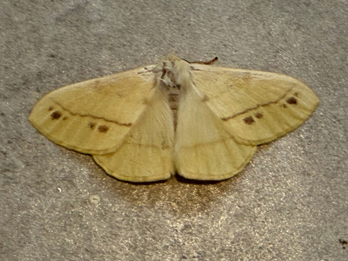
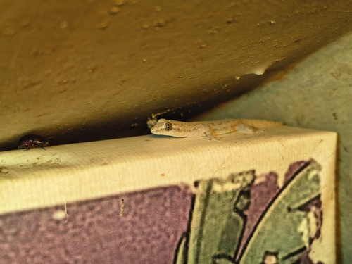
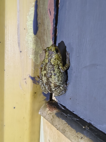
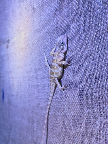
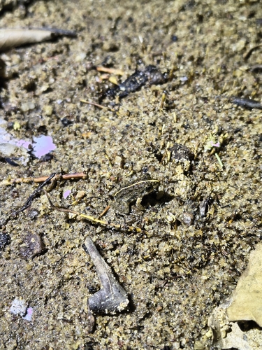
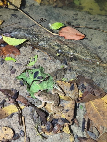
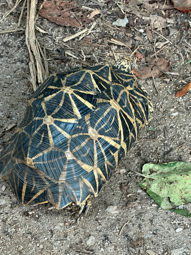
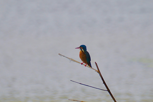
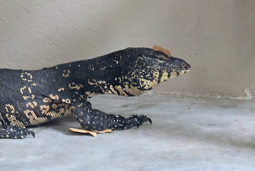
Research-grade observations from iNaturalist (within ~15 mi).
Events
Gallery
Sources
- • Wikipedia
- • iNaturalist
- • Open-Meteo / sunrise-sunset.org
- • Wikipedia Pageviews API
- • Open Library