Browse / United States / Massachusetts / Athol
Athol
MassachusettsCDP

Athol
Total population
8,801
Median home value
$248,700
Bachelor's+
Median income
$67,394
Founded
1735
Air quality index
Demographic figures from US Census Bureau · ACS 5-year estimates. Overview below cites Wikipedia and may reference a different year.
- Wind Advisory · ModerateWind Advisory issued September 25 at 12:30PM EDT until September 27 at 8:00AM EDT by NWS Boston/Norton MA
Source: NOAA National Weather Service.
City facts
Facts from Wikidata (CC0).
Overview
Athol is a town in Worcester County, Massachusetts, United States. The population was 11,945 at the 2020 census. It contains the census-designated place of the same name.
Read more on WikipediaHistory & geography
History
Originally called Pequoiag when settled by Native Americans, the area was subsequently settled by five families in September 1735. When the township was incorporated in 1762, the name was changed to Athol. John Murray, one of the proprietors of the land, chose the name which was believed to mean "New Ireland" although some historians, including James E. Fraser, dispute this definition. Early residents subsisted on agriculture and hunting. By 1791, Athol had four gristmills, six sawmills, a fulling mill, and a shop with a trip hammer, all of which were operated by water power. The Athol Cotton Factory, built in 1811, was one of the first industries to serve a market beyond the local one. Through the 1800s, textile, leather, wood, and metal industries further expanded the market for goods produced in Athol. The construction of the Vermont and Massachusetts Railroad in the 1840s significantly boosted the industrial growth, prompting the construction of a second line connecting Athol and Springfield in 1870. Construction of the Fitchburg Railroad, an east-west line, came through Athol in 1879, on its way to the Hoosac Tunnel and the Berkshires. The Athol Machine Company was established in 1868 in order to manufacture a chopping machine invented by Laroy S. Starrett. In 1881, Mr. Starrett established the L. S. Starrett Company, known for precision tools production. The company remains the town's largest employer to this day, letting Athol maintain the nickname, the "Tool Town". Further development of industry along the river valley, stimulated population growth and incentivized commerce, on the hill southeast of the factories. This area, today called Uptown, was the location of the first bank. The first trolley lines, established in 1894, ran from Athol to Orange, and…
Geography
According to the United States Census Bureau, the town has a total area of , of which is land and (2.46%) is water. The town is drained mostly by the Millers River, which flows through the downtown area from northeast to west, towards the Connecticut River. The Tully River flows into the Millers within town, and many other streams cross the town. Parts of Tully Lake and Lake Rohunta lie within town, as does Lake Ellis and several other small ponds. The soil of Athol is rough and stony, and the terrain is wooded and hilly, with elevations ranging from above sea level at the edge of the Millers River to at the top of Pratt Hill near the Bearsden Forest. A large portion of the Millers River Wildlife Management Area lies within town, as does a small portion of Petersham State Forest. Athol lies along the western edge of Worcester County, with Franklin County to the west. It is bordered by Royalston to the north, Phillipston to the east, Petersham to the south, New Salem to the southwest, and Orange to the west. From its town center, Athol lies east of Greenfield, west of Fitchburg, northwest of Worcester, and west-northwest of Boston. The vast majority of population is settled around the downtown area, with the rest of the town being relatively sparsely populated.
Excerpted from the corresponding Wikipedia article (CC BY-SA).
Demographics & economy
Race & ethnicity
Source: US Census Bureau — American Community Survey, 5-year estimates.
Geography
Coordinates & boundaries from the US Census TIGER/Line shapefiles.
Climate
Current forecast
Forecast for Athol, MA from NOAA NWS API.
Air quality
Current readings from Open-Meteo Air Quality API (Copernicus CAMS European reanalysis).
Industrial & pollution facilities
Natural hazard risk
Health (adults)
Age-adjusted prevalence estimates from CDC PLACES (latest release).
Walkability
Amenities nearby
Wildlife & biodiversity
Most-observed species
- Black-capped ChickadeePoecile atricapillus (Linnaeus, 1766) · Aves7,047
- Blue JayCyanocitta cristata (Linnaeus, 1758) · Aves6,682
- Tufted TitmouseBaeolophus bicolor (Linnaeus, 1766) · Aves5,487
- American GoldfinchSpinus tristis (Linnaeus, 1758) · Aves5,092
- American RobinTurdus migratorius Linnaeus, 1766 · Aves5,048
- Song SparrowMelospiza melodia (A.Wilson, 1810) · Aves4,827
- Northern CardinalCardinalis cardinalis (Linnaeus, 1758) · Aves4,671
- White-breasted NuthatchSitta carolinensis Latham, 1790 · Aves4,629
Citizen-science & research observations from the Global Biodiversity Information Facility (GBIF).
Schools
Largest nearby schools
- Templeton Elementary SchoolElementary · Templeton · 644 students · 16.5:1 ratio
- Athol Community Elementary SchoolElementary · Athol · 572 students · 14:1 ratio
- Narragansett Regional HighHigh · Baldwinville · 468 students · 13:1 ratio
- Athol-Royalston Middle SchoolMiddle · Athol · 429 students · 13.8:1 ratio
- Athol HighHigh · Athol · 404 students · 13.5:1 ratio
- Narragansett MiddleMiddle · Baldwinville · 359 students · 14.4:1 ratio
- Royalston Community SchoolElementary · Royalston · 158 students · 12.2:1 ratio
- Petersham CenterElementary · Petersham · 126 students · 14:1 ratio
Public K–12 schools within ~10 mi from Urban Institute Education Data Portal (NCES Common Core of Data, 2022).
Earthquake history
Most recent
- M 2.7 — 2023-12-235 km SW of Chichester, New Hampshire
- M 2.8 — 2016-03-214 km ESE of Warner, New Hampshire
- M 2.6 — 2015-01-132 km E of Wauregan, Connecticut
- M 3.3 — 2015-01-120 km NE of Wauregan, Connecticut
- M 2.61 — 2013-10-11New Hampshire
- M 3.15 — 2010-09-262 km SW of Canterbury, New Hampshire
Events from the USGS Earthquake Catalog (global) (FDSN Event Web Service).
Photos
Sights & places nearby
Notable people from here


People born within ~10 km, from Wikidata (CC0). Click any name for their Wikipedia article.
Nearby places in Massachusetts
- Deerfield19.2 mi away · pop. 458
- Chicopee33.6 mi away · pop. 55,295
- Cheshire47.5 mi away · pop. 674
- Cochituate48.4 mi away
- Pittsfield53.4 mi away · pop. 43,457
- Boxford63.5 mi away · pop. 2,284
- Peabody64.3 mi away · pop. 54,695
- Amesbury Town67.1 mi away
- Ocean Grove79.4 mi away · pop. 3,453
- Duxbury87.8 mi away · pop. 1,994
- Bourne101.9 mi away · pop. 1,806
- Yarmouth Port119.8 mi away · pop. 5,961
Geography & sun
Elevation, sunrise/sunset and daylight from Open-Meteo. Solar climatology from NASA POWER.
Nearby airports
Public attention
Pageview totals from the Wikimedia Pageviews API.
Books about Athol


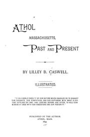
Search results from Open Library.
Recent natural events nearby
Ground air-quality sensors
Recently spotted species
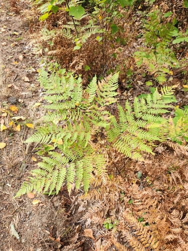
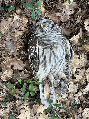
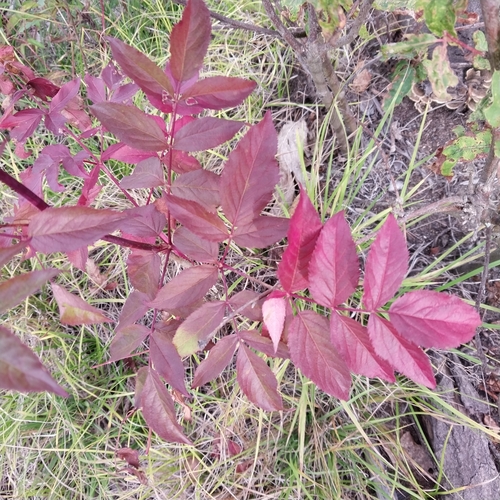
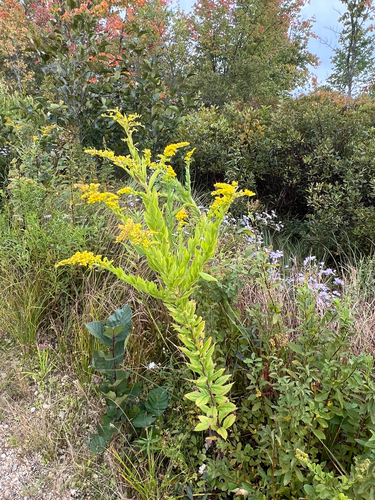
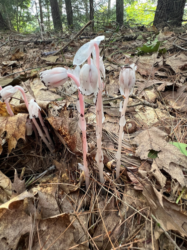


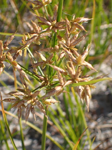
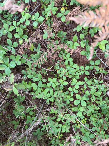
Research-grade observations from iNaturalist (within ~15 mi).
Nearest stream gauge
Events
Gallery
Sources
- • Wikipedia
- • US Census Bureau (ACS 5-year estimates)
- • NOAA National Weather Service
- • Wikidata
- • Open-Meteo Air Quality (CAMS)
- • USGS Earthquake Catalog (global feed)
- • NCES via Urban Institute Education Data Portal
- • GBIF (Global Biodiversity Information Facility)
- • iNaturalist
- • CDC PLACES
- • Open-Meteo / sunrise-sunset.org
- • Wikipedia Pageviews API
- • Open Library
- • Wikidata SPARQL (CC0) — population, area, elevation, inception, head of government, Commons image