Browse / United States / Massachusetts / Belchertown
Belchertown
MassachusettsCDP

Belchertown
Total population
2,355
Median home value
$346,900
Bachelor's+
Median income
$77,428
Founded
1731
Demographic figures from US Census Bureau · ACS 5-year estimates. Overview below cites Wikipedia and may reference a different year.
City facts
Facts from Wikidata (CC0).
Overview
Belchertown is a town in Hampshire County, Massachusetts, United States. It is part of the Springfield, Massachusetts Metropolitan Statistical Area. The population was 15,350 at the 2020 census.
Read more on WikipediaHistory & geography
History
The area encompassing the Town is part of a crossroads of Native trails in the Connecticut River Valley of Western Massachusetts that indigenous people traveled including the Nipmuc and Norwottuck, or Nonotuck and Nolwotogg, among others. Artifacts found in the early 20th century just south of Dwight, near Lake Metacomet, suggest, "evidence of Native American occupations in Belchertown" that began some 7,000 years ago. In 1658, land in present-day Belchertown (and other Towns) was negotiated between the Nonotuck Sachem named Chickwalloppe, other Sachems and John Pynchon, son of Springfield founder William Pynchon. In August 1662, land in present-day Belchertown (including South Hadley and Granby) was negotiated by Awonunsk, a Nonotuck, with her husband Wequagon and son Squomp, in a deed with Pynchon. "They reserved continued Native rights to freely hunt, fish, set up wigwams, harvest wood etc. on these lands." Few interactions between people, both the indigenous and non-indigenous, were recorded within the modern-day boundaries though on July 29, 1704, Thomas Battis, of Brookfield, "coming to Hadley as a post, was killed in the present Belchertown," by Native Americans. In 1716, the Equivalent Lands were sold by Connecticut Colony to residents who reside in present-day Connecticut and Massachusetts. Some of these lands were granted to Jonathan Belcher, the future Royal Governor of Massachusetts who served between 1730 and 1741. The Equivalent Lands, from Hadley to Brookfield, became known as "Cold Spring township" before Amherst, Belchertown, Pelham, Prescott, Ware and parts of Enfield were incorporated as towns. There was "much buying and selling of the 'Equivalent Lands' at Cold Spring." In 1722, twelve men bought about 8,400 acres at Cold Spring, seven of the…
Excerpted from the corresponding Wikipedia article (CC BY-SA).
Demographics & economy
Race & ethnicity
Source: US Census Bureau — American Community Survey, 5-year estimates.
Geography
Coordinates & boundaries from the US Census TIGER/Line shapefiles.
Climate
Current forecast
Forecast for Belchertown, MA from NOAA NWS API.
Air quality
Industrial & pollution facilities
Natural hazard risk
Health (adults)
Age-adjusted prevalence estimates from CDC PLACES (latest release).
Walkability
Amenities nearby
Wildlife & biodiversity
Most-observed species
- Blue JayCyanocitta cristata (Linnaeus, 1758) · Aves54,216
- Northern CardinalCardinalis cardinalis (Linnaeus, 1758) · Aves51,321
- American RobinTurdus migratorius Linnaeus, 1766 · Aves48,815
- Black-capped ChickadeePoecile atricapillus (Linnaeus, 1766) · Aves47,518
- Song SparrowMelospiza melodia (A.Wilson, 1810) · Aves43,502
- Tufted TitmouseBaeolophus bicolor (Linnaeus, 1766) · Aves42,625
- Mourning DoveZenaida macroura (Linnaeus, 1758) · Aves41,175
- American GoldfinchSpinus tristis (Linnaeus, 1758) · Aves39,351
Citizen-science & research observations from the Global Biodiversity Information Facility (GBIF).
Schools
Earthquake history
Most recent
- M 2.6 — 2015-01-132 km E of Wauregan, Connecticut
- M 3.3 — 2015-01-120 km NE of Wauregan, Connecticut
- M 2.5 — 2007-10-192 km WSW of Littleton Common, Massachusetts
- M 2.8 — 2002-09-282 km N of Wilton, New Hampshire
- M 2.5 — 2002-06-073 km NNW of Hopedale, Massachusetts
Events from the USGS Earthquake Catalog (global) (FDSN Event Web Service).
Photos
Sights & places nearby
Notable people from here


People born within ~10 km, from Wikidata (CC0). Click any name for their Wikipedia article.
Nearby places in Massachusetts
- Chicopee10.8 mi away · pop. 55,295
- Easthampton Town13.7 mi away
- Deerfield21.6 mi away · pop. 458
- Cheshire43.6 mi away · pop. 674
- Pittsfield45.5 mi away · pop. 43,457
- Cochituate53.8 mi away
- Methuen Town70.3 mi away
- Ocean Grove71.9 mi away · pop. 3,453
- Peabody75.3 mi away · pop. 54,695
- Boxford77.2 mi away · pop. 2,284
- Amesbury Town83.8 mi away
- Duxbury89.7 mi away · pop. 1,994
Geography & sun
Elevation, sunrise/sunset and daylight from Open-Meteo. Solar climatology from NASA POWER.
Nearby airports
Public attention
Pageview totals from the Wikimedia Pageviews API.
Books about Belchertown
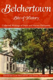
Search results from Open Library.
Recent natural events nearby
Ground air-quality sensors
Recently spotted species
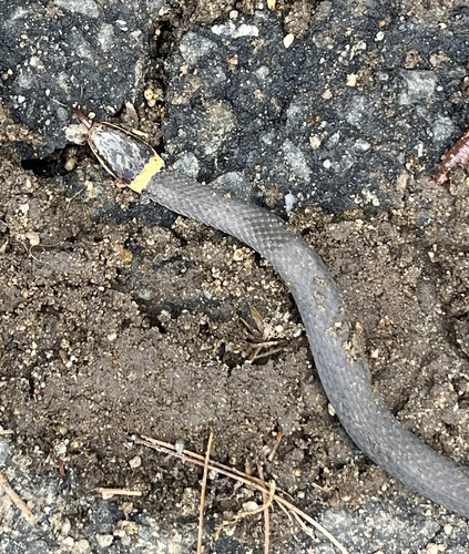
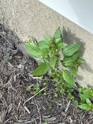
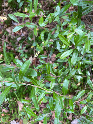
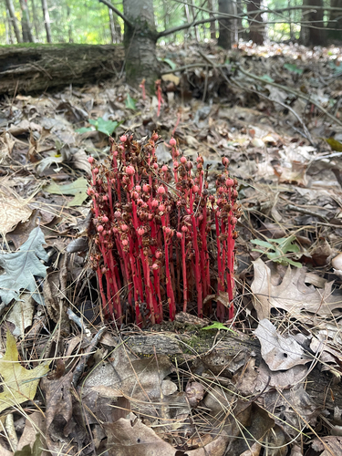
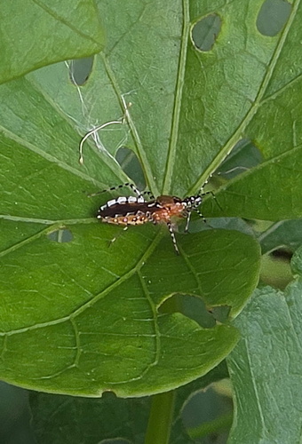
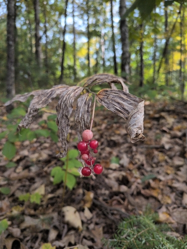
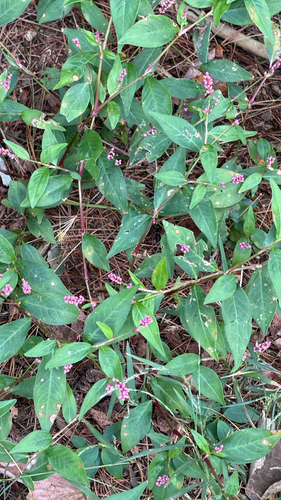
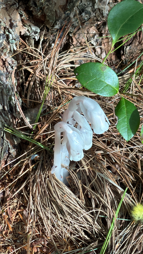
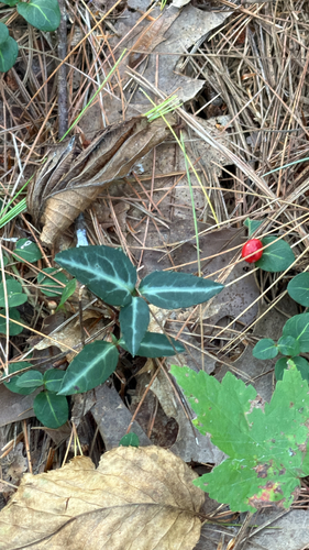
Research-grade observations from iNaturalist (within ~15 mi).
Nearest stream gauge
Events
Gallery
Sources
- • Wikipedia
- • US Census Bureau (ACS 5-year estimates)
- • NOAA National Weather Service
- • Wikidata
- • USGS Earthquake Catalog (global feed)
- • GBIF (Global Biodiversity Information Facility)
- • iNaturalist
- • CDC PLACES
- • Open-Meteo / sunrise-sunset.org
- • Wikipedia Pageviews API
- • Open Library
- • Wikidata SPARQL (CC0) — population, area, elevation, inception, head of government, Commons image