Browse / United States / Massachusetts / Greenfield
Greenfield
Massachusettscity

Greenfield
Total population
17,664
Median home value
$263,100
Bachelor's+
Median income
$55,614
Founded
1686
Demographic figures from US Census Bureau · ACS 5-year estimates. Overview below cites Wikipedia and may reference a different year.
City facts
Facts from Wikidata (CC0).
Overview
Greenfield is the county seat and sole city of Franklin County, Massachusetts, United States. Greenfield was first settled in 1686. The population was 17,768 at the 2020 census. Greenfield is home to Greenfield Community College, the Pioneer Valley Symphony Orchestra, the Franklin County Fair, and the Green River Festival. The city has a Main Street Historic District containing fine examples of Federal, Greek Revival, and Victorian architecture.
Read more on WikipediaHistory & geography
History
Pocumtuck Indians first settled and originally inhabited the Greenfield area. Native American artifacts found in the area have been dated between 7,000 and 9,000 BCE. The Pocumtucks planted field crops and fished local rivers. Some sources claim that they were wiped out by the Mohawks in 1664 and that the land was left unoccupied. Other sources show that the Pocumtucks joined the Wampanoag chief Metacom in August 1675 in the fight against English encroachment, indicating a continued presence in the area. The Pocumtuck also played an important role in the Battle of Turner's Falls on May 19, 1676, and tribal oral tradition indicates that following the battle, elements of the Pocumtuck fled to and were incorporated into the Abenaki people to the north and the Mahican people to the west. The area was colonized as part of Deerfield by the English in 1686. In 1753, Greenfield, named for the Green River, was incorporated as a separate town from Deerfield. In 1795, the South Hadley Canal opened, enabling boats to bypass the South Hadley falls and reach Greenfield via the Connecticut River. Located at the confluence of the Deerfield and Green rivers, and not far from where they merge into the Connecticut River, Greenfield developed into a trade center. Falls provided water power for industry, and Greenfield grew into a prosperous mill town. John Russell established the Green River Works in 1834, hiring skilled German workers at what was the country's first cutlery factory. The Connecticut River Railroad was the first of several railways to enter the town, replacing the former canal trade. During the 19th and 20th centuries, Greenfield was one of the most important American centers of the tap and die business and was the home of Greenfield Tap & Die Company (GTD). It was…
Geography
According to the United States Census Bureau, the town has a total area of , of which is land and , or 2.08%, is water. Greenfield is located at the center of the county and is bordered by Colrain, Leyden, and Bernardston to the north; Gill to the east; Montague to the southeast; Deerfield to the south; and Shelburne to the west. Greenfield is located north of Springfield and west-northwest of Boston. Greenfield lies at the confluence of the Deerfield, Green, and Connecticut rivers. The Green River runs from the north, through town to the Deerfield, which lies along the city's southern border. From there, the Deerfield meets the Connecticut, which flows southward along the Montague border before bending eastward briefly before continuing southward. Several brooks flow into the three rivers, as well as a fourth river, the Fall River, which makes up the city's border with Gill. The city is located beside the Pocumtuck Range, the northernmost subridge of the Metacomet Ridge, and is surrounded by hills, with the town center lying on an elevated point above the rivers. Like most of New England, Greenfield has a humid continental climate, exactly on the border between Köppen Dfa and Dfb with its warmest-month (July) mean of , with cold, snowy winters and warm, humid summers. Extreme temperatures range from , recorded on July 22, 1926, and August 26, 1948, to , recorded on January 22, 1961. Precipitation is abundant and well distributed (every month except February receives over three inches) and averages per year.
Excerpted from the corresponding Wikipedia article (CC BY-SA).
Demographics & economy
Race & ethnicity
Source: US Census Bureau — American Community Survey, 5-year estimates.
Geography
Coordinates & boundaries from the US Census TIGER/Line shapefiles.
Climate
Current forecast
Forecast for Greenfield, MA from NOAA NWS API.
Air quality
Industrial & pollution facilities
Natural hazard risk
Health (adults)
Age-adjusted prevalence estimates from CDC PLACES (latest release).
Walkability
Amenities nearby
Wildlife & biodiversity
Most-observed species
- Black-capped ChickadeePoecile atricapillus (Linnaeus, 1766) · Aves9,521
- Blue JayCyanocitta cristata (Linnaeus, 1758) · Aves8,855
- Tufted TitmouseBaeolophus bicolor (Linnaeus, 1766) · Aves7,581
- American GoldfinchSpinus tristis (Linnaeus, 1758) · Aves7,085
- American RobinTurdus migratorius Linnaeus, 1766 · Aves6,911
- Northern CardinalCardinalis cardinalis (Linnaeus, 1758) · Aves6,799
- White-breasted NuthatchSitta carolinensis Latham, 1790 · Aves6,428
- Song SparrowMelospiza melodia (A.Wilson, 1810) · Aves6,327
Citizen-science & research observations from the Global Biodiversity Information Facility (GBIF).
Schools
Largest nearby schools
- Greater Commonwealth Virtual SchoolOther · Greenfield · 1,155 students · 16:1 ratio
- Frontier RegionalHigh · South Deerfield · 606 students · 11:1 ratio
- Franklin County TechnicalHigh · Turners Falls · 602 students · 10.6:1 ratio
- Greenfield HighHigh · Greenfield · 454 students · 10.8:1 ratio
- Deerfield ElementaryElementary · South Deerfield · 309 students · 9.4:1 ratio
- Greenfield MiddleMiddle · Greenfield · 300 students · 10:1 ratio
- Buckland-Shelburne RegionalElementary · Shelburne Falls · 274 students · 16.1:1 ratio
- Mohawk Trail Regional SchoolHigh · Shelburne Falls · 271 students · 7.1:1 ratio
Public K–12 schools within ~10 mi from Urban Institute Education Data Portal (NCES Common Core of Data, 2022).
Earthquake history
Most recent
- M 2.8 — 2016-03-214 km ESE of Warner, New Hampshire
- M 2.61 — 2013-10-11New Hampshire
- M 2.5 — 2007-10-192 km WSW of Littleton Common, Massachusetts
- M 2.8 — 2002-09-282 km N of Wilton, New Hampshire
- M 2.5 — 2002-06-073 km NNW of Hopedale, Massachusetts
Events from the USGS Earthquake Catalog (global) (FDSN Event Web Service).
Photos
Sights & places nearby
Notable people from here


People born within ~10 km, from Wikidata (CC0). Click any name for their Wikipedia article.
Nearby places in Massachusetts
- Deerfield4.6 mi away · pop. 458
- Easthampton Town24.4 mi away
- Cheshire29 mi away
- Chicopee30.2 mi away · pop. 55,295
- Pittsfield35.6 mi away · pop. 43,457
- Agawam Town38.2 mi away · pop. 28,539
- Spencer39.9 mi away · pop. 11,992
- Cordaville59.7 mi away
- West Concord61.8 mi away · pop. 6,320
- Cochituate66.5 mi away
- Methuen Town72.6 mi away
- Boxford82 mi away · pop. 2,284
Geography & sun
Elevation, sunrise/sunset and daylight from Open-Meteo. Solar climatology from NASA POWER.
Nearby airports
Public attention
Pageview totals from the Wikimedia Pageviews API.
Books about Greenfield
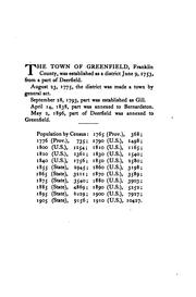
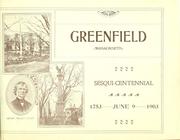
Search results from Open Library.
Recent natural events nearby
Ground air-quality sensors
Recently spotted species
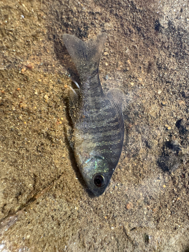
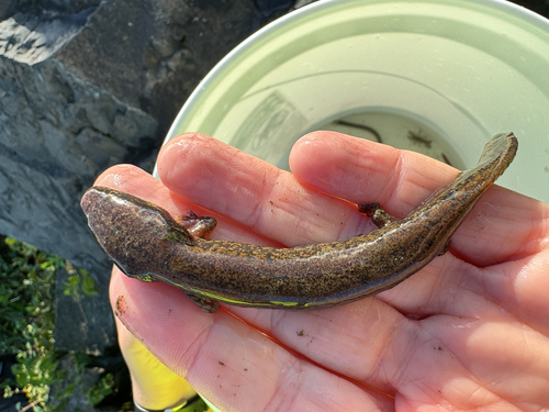
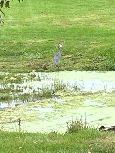
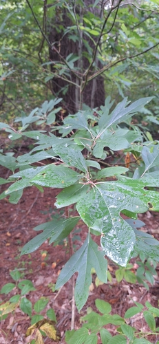
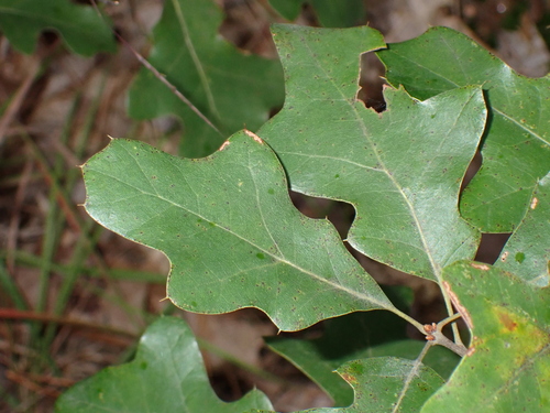
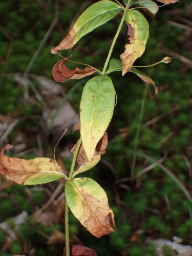
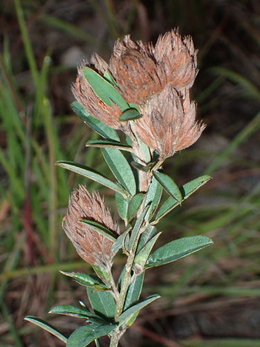
Research-grade observations from iNaturalist (within ~15 mi).
Nearest stream gauge
Events
Notable, recurring, and historical events associated with Greenfield, sourced from Wikidata.
- 133rd National Puzzlers' League conventionSep 1, 1955recurring event edition
- 132nd National Puzzlers' League conventionSep 1, 1954recurring event edition
Source: Wikidata (CC0).
Gallery
Sources
- • Wikipedia
- • US Census Bureau (ACS 5-year estimates)
- • NOAA National Weather Service
- • Wikidata
- • USGS Earthquake Catalog (global feed)
- • NCES via Urban Institute Education Data Portal
- • GBIF (Global Biodiversity Information Facility)
- • iNaturalist
- • CDC PLACES
- • Open-Meteo / sunrise-sunset.org
- • Wikipedia Pageviews API
- • Open Library
- • Wikidata SPARQL (CC0) — population, area, elevation, inception, head of government, Commons image