Browse / United States / Massachusetts / Haverhill
Haverhill
Massachusettscity

Haverhill
Total population
67,698
Median home value
$453,900
Bachelor's+
Median income
$88,326
Founded
1640
Air quality index
Demographic figures from US Census Bureau · ACS 5-year estimates. Overview below cites Wikipedia and may reference a different year.
City facts
Facts from Wikidata (CC0).
Overview
Haverhill is a city in Essex County, Massachusetts, United States. Haverhill is located 35 miles (56 km) north of Boston on the New Hampshire border and about 17 miles (27 km) from the Atlantic Ocean. The population was 67,787 at the 2020 United States census.
Read more on WikipediaHistory & geography
History
Haverhill has played a role in nearly every era of American history, from the initial colonial settlement, to the French and Indian Wars, and the American Revolutionary and Civil Wars. The town was founded in 1640 by settlers from Newbury, and was originally known as Pentucket, which is Algonquian for "place of the winding river". Settlers such as John Ward, Robert Clements, Tristram Coffin, Hugh Sheratt, William White, and Thomas Davis aided in the purchase of Pentuckett. The land was sold by Passaquo and Saggahew who claimed to have permission from Passaconaway, though nothing more is known of these two figures in the historical record and it is not clear whether they were at liberty to sell the land, or indeed whether they had a shared understanding of what such a contract would entail. When Haverhill was founded, it was incorporated into Norfolk County, Massachusetts Colony. When New Hampshire was separated from Massachusetts in 1679, Haverhill lost most of its county and was annexed to Essex County. Settlers Thomas Hale, Henry Palmer, Thomas Davis, James Davis and William White were Pentuckett's first selectmen. First Court appointments given to end small causes were given to Robert Clements, Henry Palmer, and Thomas Hale. At the same court, it was John Osgood and Thomas Hale that were also appointed to lay the way from Haverhill to Andover. It is said that these early settlers worshipped under a large oak tree, known as the "Worshipping Oak". The town was renamed for the English town of Haverhill, Suffolk, in deference to the birthplace of the settlement's first pastor, Rev. John Ward. The original Haverhill settlement was located around the corner of Water Street and Mill Street, near the Linwood Cemetery and Burying Ground. The home of the city's father,…
Geography
According to the United States Census Bureau, the city has a total area of , of which is land and , or 7.47%, is water. The city ranks 60th in the Commonwealth in terms of land area, and is the largest city or town in Essex County. Haverhill is drained by the Little and Merrimack rivers, the latter separating the Bradford section of town from the rest of Haverhill. The highest point in the city is found on Ayers Hill, a drumlin with two knobs of almost equal elevation of at least , according to the most recent (2011–2012) USGS 7.5-minute topographical map. The city also has several ponds and lakes, as well as three golf courses. Haverhill is bordered by Merrimac to the northeast, West Newbury and Groveland to the east, Boxford and a small portion of North Andover to the south, Methuen to the southwest, and Salem, Atkinson and Plaistow, New Hampshire, to the north. From its city center, Haverhill is northeast of Lawrence, southwest of Newburyport, southeast of Manchester, New Hampshire, and north of Boston. The overall terrain within Haverhill is heavily influenced by various glacial formations. With drumlins, moraines, eskers, glacial erratics, and kettle ponds being common. Gravel mining operations are conducted along eskers and glacial deposits of readily accessible gravel. Much of the soil within Haverhill is consolidated glacial till; inceptisols with moderate pedological development being the most common, as well as spodosols seen within the coniferous forests local to the area. Various fluvial deposits can be seen surrounding the river banks of the Merrimack and its tributaries. The river systems within Haverhill have also been heavily altered by glacial activity, with drainage patterns being inconsistent and variable. Because of this inconsistency, and…
Excerpted from the corresponding Wikipedia article (CC BY-SA).
Demographics & economy
Race & ethnicity
Source: US Census Bureau — American Community Survey, 5-year estimates.
Geography
Coordinates & boundaries from the US Census TIGER/Line shapefiles.
Climate
Current forecast
Forecast for Haverhill, MA from NOAA NWS API.
Air quality
Current readings from Open-Meteo Air Quality API (Copernicus CAMS European reanalysis).
Industrial & pollution facilities
Natural hazard risk
Health (adults)
Age-adjusted prevalence estimates from CDC PLACES (latest release).
Walkability
Amenities nearby
Wildlife & biodiversity
Most-observed species
- Black-capped ChickadeePoecile atricapillus (Linnaeus, 1766) · Aves19,964
- Blue JayCyanocitta cristata (Linnaeus, 1758) · Aves19,477
- Northern CardinalCardinalis cardinalis (Linnaeus, 1758) · Aves19,119
- Tufted TitmouseBaeolophus bicolor (Linnaeus, 1766) · Aves18,071
- American RobinTurdus migratorius Linnaeus, 1766 · Aves17,305
- American CrowCorvus brachyrhynchos C.L.Brehm, 1822 · Aves16,308
- Song SparrowMelospiza melodia (A.Wilson, 1810) · Aves16,084
- American GoldfinchSpinus tristis (Linnaeus, 1758) · Aves16,063
Citizen-science & research observations from the Global Biodiversity Information Facility (GBIF).
Schools
Largest nearby schools
- Lawrence High SchoolHigh · Lawrence · 3,084 students · 13.2:1 ratio
- Haverhill HighHigh · Haverhill · 1,944 students · 12.9:1 ratio
- Methuen HighHigh · Methuen · 1,916 students · 13:1 ratio
- Andover HighHigh · Andover · 1,702 students · 13.3:1 ratio
- Gr Lawrence Regional Vocational TechnicalHigh · Andover · 1,692 students · 11.3:1 ratio
- North Andover HighHigh · North Andover · 1,336 students · 13.8:1 ratio
- Whittier Regional VocationalHigh · Haverhill · 1,277 students · 10.5:1 ratio
- Donald P Timony GrammarElementary · Methuen · 1,263 students · 12.4:1 ratio
Public K–12 schools within ~10 mi from Urban Institute Education Data Portal (NCES Common Core of Data, 2022).
Earthquake history
Most recent
- M 3.8 — 2025-01-279 km SE of York Harbor, Maine
- M 2.7 — 2023-12-235 km SW of Chichester, New Hampshire
- M 2.7 — 2018-02-150 km SE of East Kingston, New Hampshire
- M 2.8 — 2016-03-214 km ESE of Warner, New Hampshire
- M 2.61 — 2013-10-11New Hampshire
- M 4.67 — 2012-10-165 km W of Hollis Center, Maine
Events from the USGS Earthquake Catalog (global) (FDSN Event Web Service).
Photos
Sights & places nearby
Notable people from here


People born within ~10 km, from Wikidata (CC0). Click any name for their Wikipedia article.
Nearby places in Massachusetts
- Amesbury Town8.2 mi away
- Boxford9.8 mi away · pop. 2,284
- Peabody18.2 mi away · pop. 54,695
- Cochituate34.2 mi away
- Duxbury55.1 mi away · pop. 1,994
- Ocean Grove73.1 mi away · pop. 3,453
- Bourne76.5 mi away · pop. 1,806
- Deerfield78.7 mi away · pop. 458
- Chicopee86.4 mi away · pop. 55,295
- Yarmouth Port86.5 mi away · pop. 5,961
- Harwich Center91.7 mi away · pop. 1,774
- Cheshire106.5 mi away · pop. 674
Geography & sun
Elevation, sunrise/sunset and daylight from Open-Meteo. Solar climatology from NASA POWER.
Nearby airports
Public attention
Pageview totals from the Wikimedia Pageviews API.
Books about Haverhill
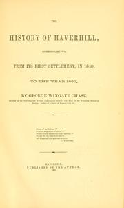

Search results from Open Library.
Recent natural events nearby
Ground air-quality sensors
Recently spotted species
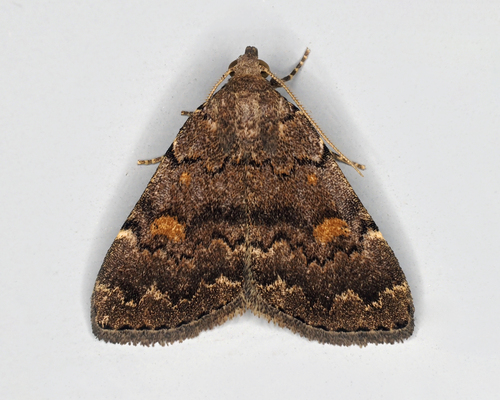
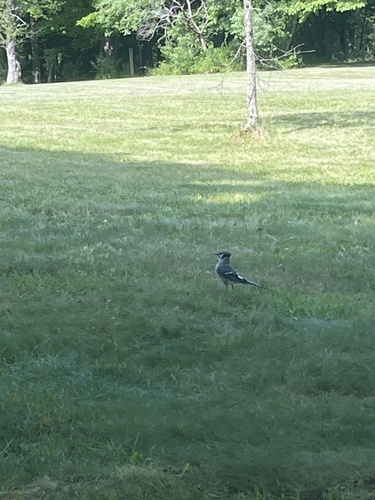
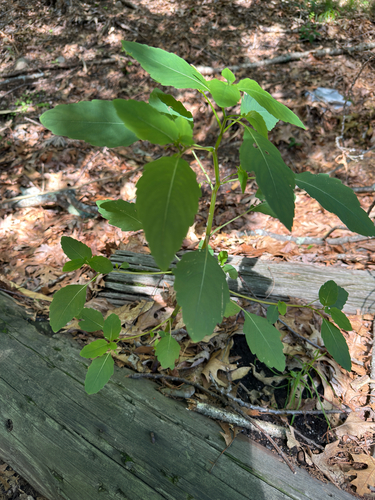
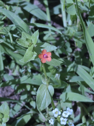

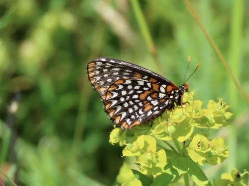
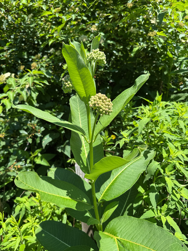
Research-grade observations from iNaturalist (within ~15 mi).
Nearest stream gauge
Live readings from USGS NWIS · measured 2026-10-15 05:30 UTC.
Events
Gallery
Geotagged photos within ~6 miles of Haverhill, from Wikimedia Commons contributors.
 0.3 mi
 0.4 mi
 0.5 mi
 0.5 mi
 0.5 mi
 0.5 mi
 0.5 mi
 0.6 mi
 0.6 mi
 0.6 mi
 0.6 mi
 0.6 mi
 0.6 mi
 0.6 mi
 0.6 mi
 0.6 mi
 0.6 mi
 0.6 mi
 0.7 mi
 0.7 mi
 0.7 mi
 0.7 mi
 0.7 mi
 0.7 mi
Photos via Wikimedia Commons — see each image page for license & attribution.
Sources
- • Wikipedia
- • US Census Bureau (ACS 5-year estimates)
- • NOAA National Weather Service
- • Wikimedia Commons
- • Wikidata
- • Open-Meteo Air Quality (CAMS)
- • USGS Earthquake Catalog (global feed)
- • USGS NWIS (water data)
- • NCES via Urban Institute Education Data Portal
- • GBIF (Global Biodiversity Information Facility)
- • iNaturalist
- • CDC PLACES
- • Open-Meteo / sunrise-sunset.org
- • Wikipedia Pageviews API
- • Open Library
- • Wikidata SPARQL (CC0) — population, area, elevation, inception, head of government, Commons image