Browse / United States / Massachusetts / Leominster
Leominster
Massachusettscity

Leominster
Total population
43,909
Median home value
$380,400
Bachelor's+
Median income
$83,816
Founded
1653
Air quality index
Demographic figures from US Census Bureau · ACS 5-year estimates. Overview below cites Wikipedia and may reference a different year.
City facts
Facts from Wikidata (CC0).
Overview
Leominster is a city in Worcester County, Massachusetts, United States. It is the second-most populous city in Worcester County, with a population of 44,209 at the 2024 census estimate. Leominster is located north of Worcester and northwest of Boston. Both Route 2 and Route 12 pass through Leominster. Interstate 190, Route 13, and Route 117 all have starting/ending points in Leominster. Leominster is bounded by Fitchburg and Lunenburg to the north, Lancaster to the east, Sterling and Princeton to the south, and Westminster to the west.
Read more on WikipediaHistory & geography
History
The region was originally inhabited by various divisions of the Pennacook or Nipmuc Native Americans, who lived along the Nashua River. The river provided fertile soil for the cultivation of corn, beans, squash and tobacco. European settlers began arriving in the mid-17th century and in 1653, the area of Leominster—which takes it name from the Herefordshire town of Leominster in England, was first founded as part of the town of Lancaster. The European settlers and native people lived peacefully for a number of years, until the start of King Philip's War in 1675. In Leominster's early existence, the town was primarily a small farming community, but towards the beginning of the 19th century, the economy quickly shifted into manufacturing. However, manufacturing in Leominster was truly made possible by the opening of the Fitchburg Railroad that ran through North Leominster and into Boston, and the Fitchburg and Worcester Railroad that ran through the center of town. On November 2, 1915, Leominster was officially chartered as a city. While many different industries established themselves in Leominster, it was the comb industry that particularly flourished. Construction of combs was a time-consuming and painstaking process, involving preparation of the natural materials such as animal horn, roughing out of a basic form, and finally, individual cutting of the teeth. invented in Germany in the early 1920s. Leominster also boasted large manufactures Standard Tool Company, Selig Manufacturing Co. Inc, C.E. Buckley, Inc. (manufacturer of religious articles) and the Whitney Carriage Company, which was once the largest manufacturer of baby carriages in the world. Although the Great Depression slowed the plastic industry in Leominster, it was not until the late 20th century…
Geography
According to the United States Census Bureau, the city has a total area of , of which is land and , or 2.96%, is water. Leominster is primarily located on a plateau above the Nashua River. Northern and Western Leominster have a more rugged terrain defined by scattered hills. The most prominent hills are both the North and South Monoosnoc Hills in the western part of the city. The South Monoosnoc Hill is the highest point in the town at 1,020 feet. In the 19th century, the south hill was quarried for granite used in home foundations. West of the two hills lies the No town Reservoir and Leominster State Forest. To the east, lies the Monoosnoc Brook which winds through the center of town and was an important power source for early manufacturers. The city is divided into several small "villages" such as French Hill, a large hill covered in planned blocks of "triple decker" apartment houses located from 1st Street to 12th Street. It is called French Hill because this is where the large immigrant French population took root. In the early 20th century, on Lincoln Terrace, immigrating Italian families began to arrive in the area and built a semi-closed society which existed for many years. The French population built a new church and moved closer to it. Other areas include Morse Hollow, North Leominster, Rice Hill, the Flats, the Bowery, the West Side, and the Car Barn area, located along the Fitchburg border, so-called because the Fitchburg & Leominster Railway trolley cars were stored and maintained in this area. It now has buses. A granite marker showing the birthplace of Johnny Appleseed can be found on Johnny Appleseed Lane.
Excerpted from the corresponding Wikipedia article (CC BY-SA).
Demographics & economy
Race & ethnicity
Source: US Census Bureau — American Community Survey, 5-year estimates.
Geography
Coordinates & boundaries from the US Census TIGER/Line shapefiles.
Climate
Current forecast
Forecast for Leominster, MA from NOAA NWS API.
Air quality
Current readings from Open-Meteo Air Quality API (Copernicus CAMS European reanalysis).
Industrial & pollution facilities
Natural hazard risk
Health (adults)
Age-adjusted prevalence estimates from CDC PLACES (latest release).
Walkability
Amenities nearby
Wildlife & biodiversity
Most-observed species
- Black-capped ChickadeePoecile atricapillus (Linnaeus, 1766) · Aves24,840
- Blue JayCyanocitta cristata (Linnaeus, 1758) · Aves23,508
- Tufted TitmouseBaeolophus bicolor (Linnaeus, 1766) · Aves20,911
- American RobinTurdus migratorius Linnaeus, 1766 · Aves20,143
- Northern CardinalCardinalis cardinalis (Linnaeus, 1758) · Aves19,998
- American GoldfinchSpinus tristis (Linnaeus, 1758) · Aves18,783
- White-breasted NuthatchSitta carolinensis Latham, 1790 · Aves17,160
- American CrowCorvus brachyrhynchos C.L.Brehm, 1822 · Aves16,721
Citizen-science & research observations from the Global Biodiversity Information Facility (GBIF).
Schools
Largest nearby schools
- Montachusett Regional Vocational TechnicalHigh · Fitchburg · 1,409 students · 11.7:1 ratio
- Fitchburg HighHigh · Fitchburg · 1,246 students · 13:1 ratio
- Leominster High SchoolHigh · Leominster · 1,034 students · 11:1 ratio
- Sky View Middle SchoolMiddle · Leominster · 886 students · 15.3:1 ratio
- Clinton ElementaryElementary · Clinton · 840 students · 12.7:1 ratio
- Nashoba RegionalHigh · Bolton · 831 students · 12.4:1 ratio
- Center For Technical Education InnovationHigh · Leominster · 800 students · 25:1 ratio
- McKay Elementary SchoolElementary · Fitchburg · 727 students · 11:1 ratio
Public K–12 schools within ~10 mi from Urban Institute Education Data Portal (NCES Common Core of Data, 2022).
Earthquake history
Most recent
- M 2.7 — 2023-12-235 km SW of Chichester, New Hampshire
- M 2.7 — 2018-02-150 km SE of East Kingston, New Hampshire
- M 2.8 — 2016-03-214 km ESE of Warner, New Hampshire
- M 2.6 — 2015-01-132 km E of Wauregan, Connecticut
- M 3.3 — 2015-01-120 km NE of Wauregan, Connecticut
- M 2.61 — 2013-10-11New Hampshire
Events from the USGS Earthquake Catalog (global) (FDSN Event Web Service).
Photos
Sights & places nearby
Notable people from here


People born within ~10 km, from Wikidata (CC0). Click any name for their Wikipedia article.
Nearby places in Massachusetts
- Cochituate25.2 mi away
- Peabody40.8 mi away · pop. 54,695
- Boxford41.2 mi away · pop. 2,284
- Deerfield42.4 mi away · pop. 458
- Chicopee47.2 mi away · pop. 55,295
- Amesbury Town47.3 mi away
- Ocean Grove61.8 mi away · pop. 3,453
- Duxbury64.8 mi away · pop. 1,994
- Cheshire70.9 mi away · pop. 674
- Pittsfield76.1 mi away · pop. 43,457
- Bourne80.5 mi away · pop. 1,806
- Yarmouth Port97.3 mi away · pop. 5,961
Geography & sun
Elevation, sunrise/sunset and daylight from Open-Meteo. Solar climatology from NASA POWER.
Nearby airports
Public attention
Pageview totals from the Wikimedia Pageviews API.
Books about Leominster

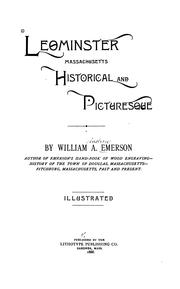
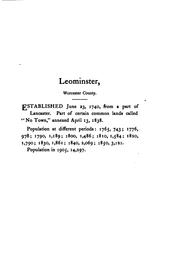


Search results from Open Library.
Recent natural events nearby
Ground air-quality sensors
Recently spotted species
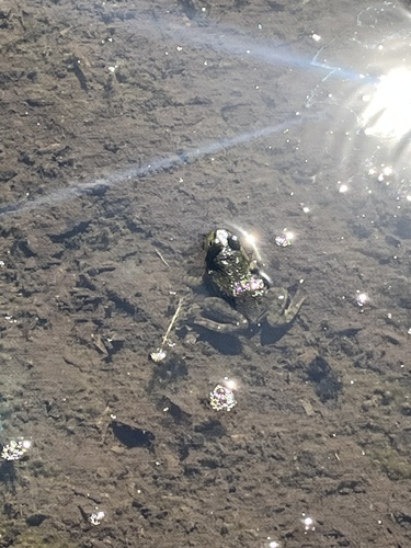
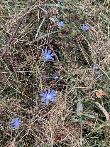
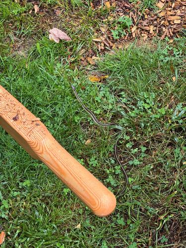

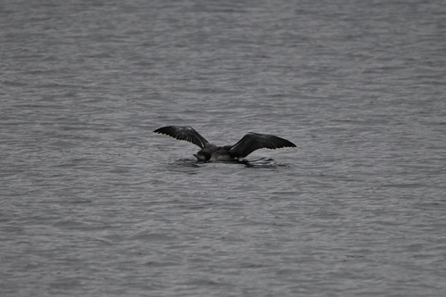

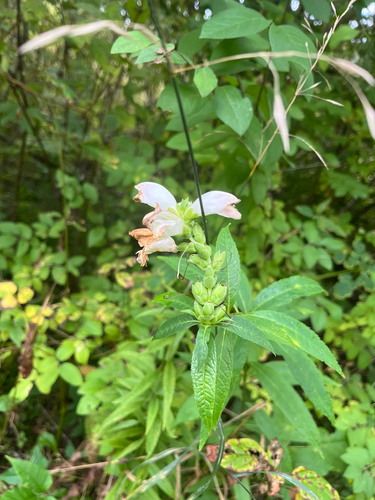
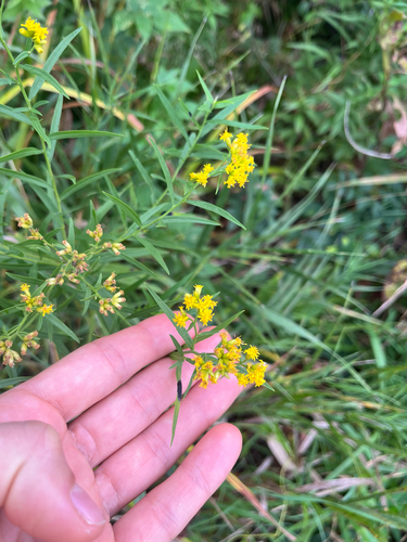
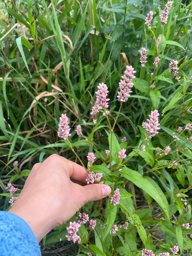
Research-grade observations from iNaturalist (within ~15 mi).
Nearest stream gauge
Live readings from USGS NWIS · measured 2026-08-19 21:15 UTC.
Events
Gallery
Geotagged photos within ~6 miles of Leominster, from Wikimedia Commons contributors.
 0.5 mi
 0.5 mi
 0.5 mi
.jpg) 0.6 mi
0.6 mi 0.6 mi
 0.6 mi
 0.7 mi
 0.7 mi
 0.7 mi
.jpg) 0.7 mi
0.7 mi 0.8 mi
 0.8 mi
 0.8 mi
 0.8 mi
 0.8 mi
 0.8 mi
 0.8 mi
 0.8 mi
 0.8 mi
,_December_2023.jpg) 0.8 mi
0.8 mi,_December_2023.jpg) 0.8 mi
0.8 mi 0.9 mi
 0.9 mi
 1.2 mi
Photos via Wikimedia Commons — see each image page for license & attribution.
Sources
- • Wikipedia
- • US Census Bureau (ACS 5-year estimates)
- • NOAA National Weather Service
- • Wikimedia Commons
- • Wikidata
- • Open-Meteo Air Quality (CAMS)
- • USGS Earthquake Catalog (global feed)
- • USGS NWIS (water data)
- • NCES via Urban Institute Education Data Portal
- • GBIF (Global Biodiversity Information Facility)
- • iNaturalist
- • CDC PLACES
- • Open-Meteo / sunrise-sunset.org
- • Wikipedia Pageviews API
- • Open Library
- • Wikidata SPARQL (CC0) — population, area, elevation, inception, head of government, Commons image