Browse / United States / Massachusetts / West Brookfield
West Brookfield
MassachusettsCDP

West Brookfield
Total population
1,563
Median home value
$313,700
Bachelor's+
Median income
$76,625
Founded
1664
Demographic figures from US Census Bureau · ACS 5-year estimates. Overview below cites Wikipedia and may reference a different year.
City facts
Facts from Wikidata (CC0).
Overview
West Brookfield is a town in Worcester County, Massachusetts, United States. The population was 3,833 at the 2020 census. It contains the census-designated place of the same name. Lucy Stone was born in West Brookfield, and George and Charles Merriam, the publishers of Webster's Dictionary, were raised there.
Read more on WikipediaHistory & geography
History
West Brookfield was first settled by Europeans in 1665 and was officially incorporated in 1848, splitting off from Brookfield, which was originally settled as part of the Quaboag Plantation. The town is believed to be the birthplace of asparagus in the New World. Diederik Leertouwer came to the United States in 1784 to promote trade between the Netherlands and New England. He later settled with his wife and daughter in West Brookfield where he carried out his duties as Consul and lived here between the years 1794 and 1798. At that time West Brookfield had a population greater than Worcester and was being considered for the county seat. Local legend has it that Diederik Leertouwer imported asparagus from his homeland and was the first to plant it in this area. This fact was forgotten until it was discovered in an old cookbook. Wild asparagus still grows in this area today. Leertouwer died here and is buried in the Old Indian Cemetery on Cottage Street in West Brookfield. The town is also home to the Rock House Reservation, a massive, cave-like rock shelter, exposed after the glacial retreat 10,000 years ago, that served as a winter camp for Native Americans. By the mid-1800s, it was part of a farm owned by William Adams whose descendant, F. A. Carter, dammed a small stream to create Carter Pond and built the cottage now serving as a trailside museum and nature center. The reservation is open year-round, daily, sunrise to sunset. Admission is free to all.
Geography
According to the United States Census Bureau, the town has a total area of , of which is land and , or 3.03%, is water. West Brookfield is bounded on the southeast by Brookfield, on the north by North Brookfield and New Braintree, on the west by Ware and on the southwest by Warren. Route 9 is the main route in town. Other routes include Route 67, Route 19 (which begins in West Brookfield), and Route 32.
Excerpted from the corresponding Wikipedia article (CC BY-SA).
Demographics & economy
Race & ethnicity
Source: US Census Bureau — American Community Survey, 5-year estimates.
Geography
Coordinates & boundaries from the US Census TIGER/Line shapefiles.
Climate
Current forecast
Forecast for West Brookfield, MA from NOAA NWS API.
Air quality
Industrial & pollution facilities
Natural hazard risk
Health (adults)
Age-adjusted prevalence estimates from CDC PLACES (latest release).
Walkability
Amenities nearby
Wildlife & biodiversity
Schools
Largest nearby schools
- Burgess ElementaryElementary · Sturbridge · 877 students · 12:1 ratio
- Tantasqua Regional Sr HighHigh · Fiskdale · 677 students · 9.4:1 ratio
- Tantasqua Regional Jr HighMiddle · Fiskdale · 551 students · 11.7:1 ratio
- Tantasqua Regional VocationalHigh · Fiskdale · 524 students · 40.3:1 ratio
- Wire Village SchoolElementary · Spencer · 417 students · 12.6:1 ratio
- Knox Trail Middle SchoolMiddle · Spencer · 363 students · 12.5:1 ratio
- David Prouty HighHigh · Spencer · 357 students · 11.9:1 ratio
- Old Sturbridge Academy Charter Public SchoolElementary · Sturbridge · 357 students · 12.8:1 ratio
Public K–12 schools within ~10 mi from Urban Institute Education Data Portal (NCES Common Core of Data, 2022).
Earthquake history
Photos
Sights & places nearby
Notable people from here


People born within ~10 km, from Wikidata (CC0). Click any name for their Wikipedia article.
Nearby places in Massachusetts
- Chicopee22.1 mi away · pop. 55,295
- Deerfield31.4 mi away · pop. 458
- Cochituate41 mi away
- Cheshire56.3 mi away · pop. 674
- Pittsfield58.7 mi away · pop. 43,457
- Ocean Grove59.8 mi away · pop. 3,453
- Peabody63.4 mi away · pop. 54,695
- Boxford66 mi away · pop. 2,284
- Amesbury Town73.8 mi away
- Duxbury76.4 mi away · pop. 1,994
- Bourne86.2 mi away · pop. 1,806
- Yarmouth Port105.6 mi away · pop. 5,961
Geography & sun
Elevation, sunrise/sunset and daylight from Open-Meteo. Solar climatology from NASA POWER.
Nearby airports
Public attention
Pageview totals from the Wikimedia Pageviews API.
Books about West Brookfield

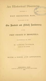
Search results from Open Library.
Recent natural events nearby
Ground air-quality sensors
Recently spotted species
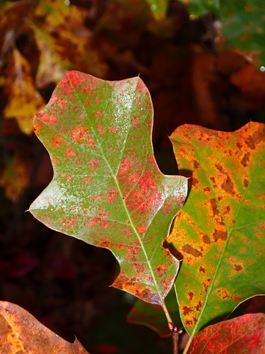
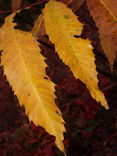
Research-grade observations from iNaturalist (within ~15 mi).
Nearest stream gauge
Events
Gallery
Sources
- • Wikipedia
- • US Census Bureau (ACS 5-year estimates)
- • NOAA National Weather Service
- • Wikidata
- • NCES via Urban Institute Education Data Portal
- • iNaturalist
- • CDC PLACES
- • Open-Meteo / sunrise-sunset.org
- • Wikipedia Pageviews API
- • Open Library
- • Wikidata SPARQL (CC0) — population, area, elevation, inception, head of government, Commons image