Browse / United States / Michigan / East Lansing
East Lansing
Michigancity

East Lansing
Total population
45,758
Median home value
$270,800
Bachelor's+
Median income
$45,687
Founded
1847
Demographic figures from US Census Bureau · ACS 5-year estimates. Overview below cites Wikipedia and may reference a different year.
City facts
Sister cities
Facts from Wikidata (CC0).
Overview
East Lansing is a city in Ingham and Clinton counties in the U.S. state of Michigan. A college town, East Lansing is home to Michigan State University (MSU), one of the largest public universities in the United States. As of 2026, the city has a population of 49,435. The city is located immediately east of Lansing, Michigan's capital and sixth most populous city; the two cities anchor the Lansing–East Lansing metropolitan area.
Read more on WikipediaHistory & geography
History
East Lansing is located on land that was an important junction of two major Native American groups: the Potawatomi and the Fox. By 1850, the Lansing and Howell Plank Road Company was established to connect a toll road to the Detroit and Howell Plank Road, improving travel between Detroit and Lansing, which cut right through what is now East Lansing. The toll road was finished in 1853, and included seven toll houses between Lansing and Howell. Michigan State University was founded in 1855 and established in what is now East Lansing in 1857. For the first four decades, the students and faculty lived almost entirely on the college campus. A few commuted from Lansing, and that number increased when a streetcar line was built in the 1890s, but there were few places to live in the then-rural area surrounding the campus. That started to change in 1887, when professors William J. Beal and Rolla C. Carpenter created Collegeville, along what is now Harrison Road and Center and Beal Streets, north of Michigan Avenue. Few faculty were attracted to the location, and the first residents were "teamsters and laborers". In 1898, the College Delta subdivision (including what is now Delta Street) had the support of the college itself, which provided utilities, and several professors built homes there (one of which survives today at 243 W. Grand River Ave.). Other subdivisions followed. At that time, the post office address was "Agricultural College, Michigan". A school district encompassing the nascent community was created in 1900. In 1907, incorporation as a city was proposed under the name "College Park"; the legislature approved the charter but changed the name to "East Lansing". The first seven mayors, starting with Clinton D. Smith in 1907 and Warren Babcock in 1908, were…
Geography
According to the United States Census Bureau, the city has a total area of , of which is land and is water. Since 1998, East Lansing has expanded its borders through the use of 425 Agreements. The city is currently in three 425 Agreements with Bath Township, DeWitt Township, and Meridian Township, and has effectively added thousands of acres of land to its border. * East Lansing and DeWitt Township entered into two 425s in 1998 and 2001, which involved nearly of land. The agreement stipulates that East Lansing gains full control of the land after 33 years. * East Lansing and Bath Township entered into a 425 Agreement in June 2002 involving of land. The agreement stipulates that East Lansing gains full control of the land after 100 years. * East Lansing and Meridian Township entered into a 425 in November 2002 involving of land. The agreement stipulates that the Meridian Township residents get to decide the fate of the land after 100 years. The city has also made use of annexation of surrounding township lands in recent years. It annexed the of the Four Winds Golf Course in Meridian Township in 2001, and another of the township in 2006. The city also annexed from DeWitt Township the land that is currently the East Lansing Soccer Complex. The city's downtown area is centered around Grand River Avenue, a wide, tree-lined boulevard that evolved out of the 19th-century plank road that connected Lansing to Detroit. Grand River Avenue and Michigan Avenue serve as a dividing line between the Michigan State University campus and the rest of the city. Immediately north of downtown are college town neighborhoods, where students and year-round residents can live close to the city's downtown and MSU's campus. East Lansing has more than 25 neighborhoods. Many of these…
Excerpted from the corresponding Wikipedia article (CC BY-SA).
Demographics & economy
Race & ethnicity
Source: US Census Bureau — American Community Survey, 5-year estimates.
Geography
Coordinates & boundaries from the US Census TIGER/Line shapefiles.
Climate
Current forecast
Forecast for East Lansing, MI from NOAA NWS API.
Air quality
Industrial & pollution facilities
Natural hazard risk
Health (adults)
Age-adjusted prevalence estimates from CDC PLACES (latest release).
Walkability
Amenities nearby
Wildlife & biodiversity
Schools
Largest nearby schools
- Michigan Connections AcademyOther · Okemos · 1,656 students · 22.7:1 ratio
- Holt Senior High SchoolHigh · HOLT · 1,626 students · 17.1:1 ratio
- Okemos High SchoolHigh · OKEMOS · 1,466 students · 18.6:1 ratio
- East Lansing High SchoolHigh · EAST LANSING · 1,255 students · 22.4:1 ratio
- Everett High SchoolHigh · LANSING · 1,232 students · 20.2:1 ratio
- Eastern High SchoolHigh · LANSING · 1,049 students · 21.9:1 ratio
- JW Sexton High SchoolHigh · LANSING · 976 students · 18.1:1 ratio
- MacDonald Middle SchoolMiddle · EAST LANSING · 864 students · 21.6:1 ratio
Public K–12 schools within ~10 mi from Urban Institute Education Data Portal (NCES Common Core of Data, 2022).
Earthquake history
Photos
Sights & places nearby
Notable people from here


People born within ~10 km, from Wikidata (CC0). Click any name for their Wikipedia article.
Nearby places in Michigan
- Lansing4.6 mi away · pop. 113,466
- DeWitt8.1 mi away · pop. 4,777
- Wacousta11.6 mi away · pop. 1,711
- Morrice16.3 mi away · pop. 1,550
- Eaton Rapids18.6 mi away · pop. 5,183
- Mulliken21 mi away · pop. 501
- Fowlerville21.7 mi away · pop. 2,918
- Fowler22 mi away · pop. 1,387
- Eureka24.6 mi away · pop. 88
- Pewamo25.4 mi away · pop. 439
- Henderson27.6 mi away · pop. 320
- Howell29.5 mi away · pop. 10,021
Geography & sun
Elevation, sunrise/sunset and daylight from Open-Meteo. Solar climatology from NASA POWER.
Nearby airports
Public attention
Pageview totals from the Wikimedia Pageviews API.
Books about East Lansing


Search results from Open Library.
Recent natural events nearby
Ground air-quality sensors
Recently spotted species
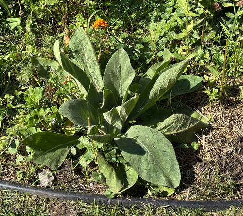
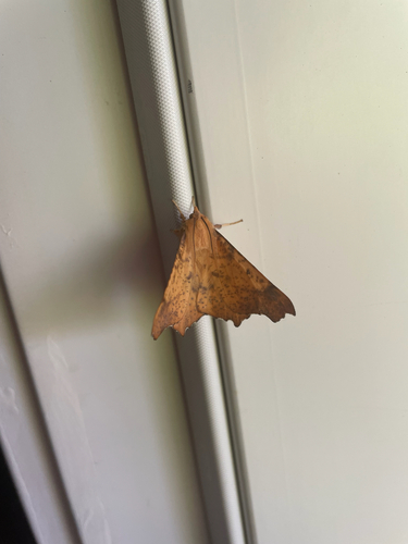
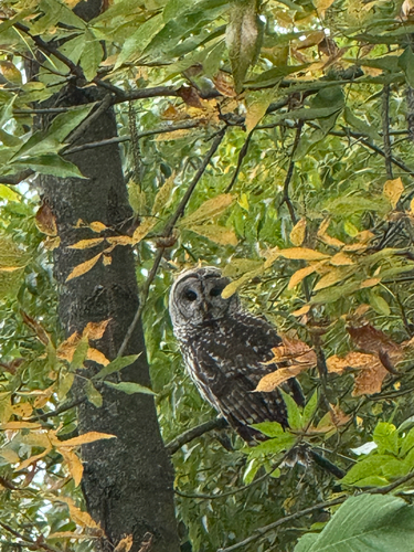
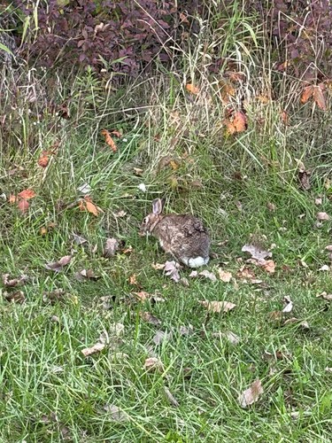
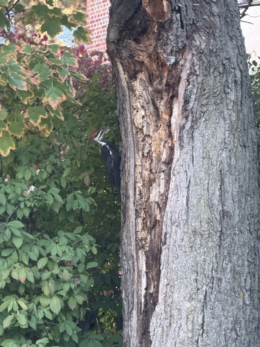
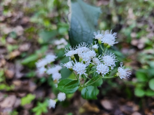
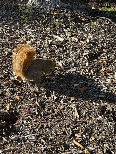
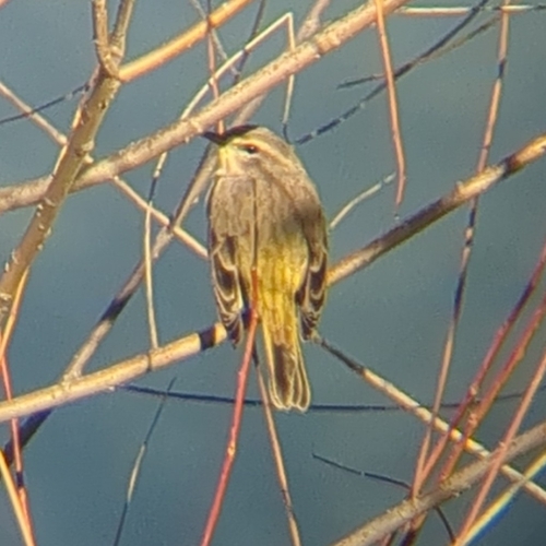
Research-grade observations from iNaturalist (within ~15 mi).
Nearest stream gauge
Events
Gallery
Sources
- • Wikipedia
- • US Census Bureau (ACS 5-year estimates)
- • NOAA National Weather Service
- • Wikidata
- • NCES via Urban Institute Education Data Portal
- • iNaturalist
- • CDC PLACES
- • Open-Meteo / sunrise-sunset.org
- • Wikipedia Pageviews API
- • Open Library