Browse / United States / Missouri / Caruthersville
Caruthersville
Missouricity
Total population
5,326
Demographic figures from US Census Bureau · ACS 5-year estimates. Overview below cites Wikipedia and may reference a different year.
- Heat Advisory · ModerateHeat Advisory issued September 18 at 12:45PM CDT until September 19 at 8:00PM CDT by NWS Memphis TN
Source: NOAA National Weather Service.
City facts
Overview
Within Missouri, United States, Caruthersville stands as a small city. Coordinates of 36.181°, -89.667° situate Caruthersville in the warm-temperate zone of the northern hemisphere. Public datasets list a population of roughly 5,326. Its latitude implies a climate characterised by warm summers and cool winters. Solar-resource estimates put the area at about 1,594 kWh/m² of solar irradiance per year with sunshine for roughly 62% of daylight hours. At 397 people per km², the city shows an average residential density. Total area is recorded as about 13.4 km². Open-data panels below dive into population trends, climate normals, environmental indicators and nearby places.
Summary composed automatically from structured open data on this page. See our Terms for details.
History & geography
Demographics & economy
Geography
Coordinates & boundaries from the US Census TIGER/Line shapefiles.
Climate
Current forecast
Forecast for Caruthersville, MO from NOAA NWS API.
Air quality
Industrial & pollution facilities
Natural hazard risk
Health (adults)
Walkability
Amenities nearby
Wildlife & biodiversity
Schools
Earthquake history
Photos
Sights & places nearby
Notable people from here


People born within ~10 km, from Wikidata (CC0). Click any name for their Wikipedia article.
Nearby places in Missouri
Geography & sun
Elevation, sunrise/sunset and daylight from Open-Meteo. Solar climatology from NASA POWER.
Nearby airports
Public attention
Pageview totals from the Wikimedia Pageviews API.
Books about Caruthersville

Search results from Open Library.
Recent natural events nearby
- Wildfire Bunker Fire, Calhoun, ArkansasWildfires · 2026-09-15 · 245 mi
- Wildfire Bunker Fire, Calhoun, ArkansasWildfires · 2026-09-14 · 245 mi
Wildfires, storms and other events from NASA EONET (last 12 months, within 250 mi).
Ground air-quality sensors
Recently spotted species
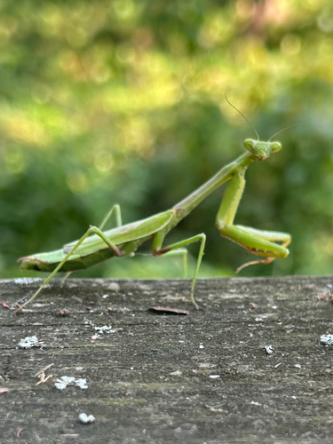
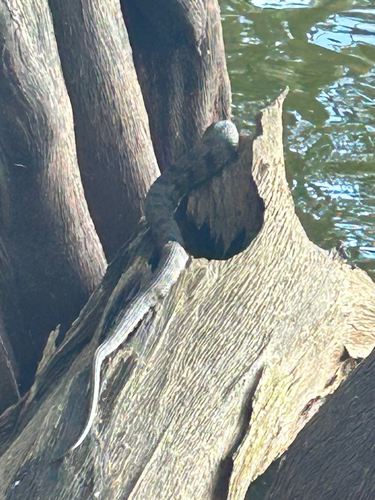
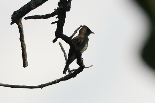
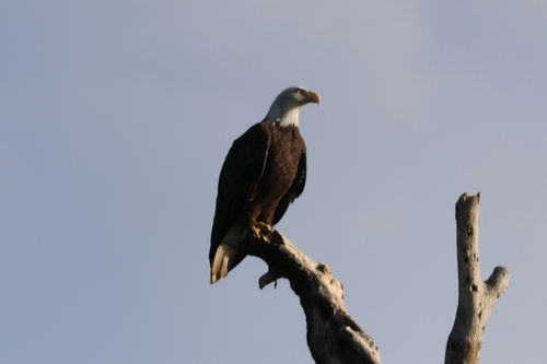



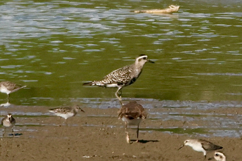
Research-grade observations from iNaturalist (within ~15 mi).
Nearest stream gauge
Live readings from USGS NWIS · measured 2026-09-18 14:00 UTC.
Events
Gallery
Sources
- • NOAA National Weather Service
- • Wikidata
- • USGS NWIS (water data)
- • iNaturalist
- • Open-Meteo / sunrise-sunset.org
- • Wikipedia Pageviews API
- • Open Library
- • NASA EONET