Browse / United States / Montana / Opheim
Opheim
Montanatown

Opheim
Total population
86
Median home value
$48,600
Bachelor's+
Median income
$46,500
Demographic figures from US Census Bureau · ACS 5-year estimates. Overview below cites Wikipedia and may reference a different year.
City facts
Facts from Wikidata (CC0).
Overview
Opheim is a town in Valley County, Montana, United States. The population was 75 at the 2020 census.
Read more on WikipediaHistory & geography
History
*Opheim was named for Alfred Sumner Opheim (1872–1949), who together with his wife Helen (Ouandahl) Opheim (1874–1930), served as the first postmasters of the town. *The town was founded before the expansion of the Great Northern Railway, but benefited by having its own depot. In the early 1990s, railway abandonment occurred between the towns of Scobey and Opheim. *Opheim was once the location of Opheim Air Force Station, a former United States Air Force General Surveillance Radar station. Since its closing in 1979, the population has decreased significantly. *The city was also home to many banks, bars, stores, and a movie theater, all of which have changed hands or closed. The town has no major source of income and is currently facing a slow economic decline. *Granrud's Lefse was started in a garage in Opheim in 1977 by Evan and Myrt Granrud. It is one of the few area bakeries that still produces the traditional Norwegian potato flatbread, Lefse. It was sold in 2018 and moved to Scobey, Montana. *Opheim has a strong Norwegian-American heritage as reflected by the high school's mascot, the Vikings. Opheim High School was the source of media attention in 2008 when the graduating class consisted of one student. *Opheim celebrated its 100th anniversary in 2011 over the 4th of July weekend. Hundreds of former residents and former students enjoyed a number of events marking a rich history of immigrant homesteaders that once made Opheim a thriving town of almost 500 residents and business providing services to all of north Valley County.
Geography
According to the United States Census Bureau, the town has a total area of , all land. According to the Köppen Climate Classification system, Opheim has a semi-arid climate, abbreviated "BSk" on climate maps.
Excerpted from the corresponding Wikipedia article (CC BY-SA).
Demographics & economy
Race & ethnicity
Source: US Census Bureau — American Community Survey, 5-year estimates.
Geography
Coordinates & boundaries from the US Census TIGER/Line shapefiles.
Climate
Current forecast
Forecast for Opheim, MT from NOAA NWS API.
Air quality
Industrial & pollution facilities
Natural hazard risk
Health (adults)
Age-adjusted prevalence estimates from CDC PLACES (latest release).
Walkability
Amenities nearby
Wildlife & biodiversity
Schools
Largest nearby schools
- Opheim SchoolElementary · Opheim · 21 students · 5.3:1 ratio
- Opheim High SchoolHigh · Opheim · 5 students · 1.7:1 ratio
- Opheim 7-8Middle · Opheim · 2 students · 2:1 ratio
Public K–12 schools within ~10 mi from Urban Institute Education Data Portal (NCES Common Core of Data, 2022).
Earthquake history
Photos
Sights & places nearby
Notable people from here
Nearby places in Montana
Geography & sun
Elevation, sunrise/sunset and daylight from Open-Meteo. Solar climatology from NASA POWER.
Nearby airports
Public attention
Pageview totals from the Wikimedia Pageviews API.
Books about this place
Recent natural events nearby
- Wildfire Ayers Pond, Prairie, MontanaWildfires · 2026-09-03 · 169 mi
- Incident Complex Rattlesnake Complex, Prairie, MontanaWildfires · 2026-09-04 · 171 mi
- Wildfire Snow, Custer, MontanaWildfires · 2026-09-02 · 173 mi
- Wildfire Sarpy, Big Horn, MontanaWildfires · 2026-08-17 · 223 mi
- Wildfire Middle Coulee, Chouteau, MontanaWildfires · 2026-08-02 · 224 mi
- Wildfire Ant Park, Meagher, MontanaWildfires · 2026-07-31 · 245 mi
- Wildfire Alice, Harding, South DakotaWildfires · 2026-07-26 · 247 mi
Wildfires, storms and other events from NASA EONET (last 12 months, within 250 mi).
Ground air-quality sensors
Recently spotted species
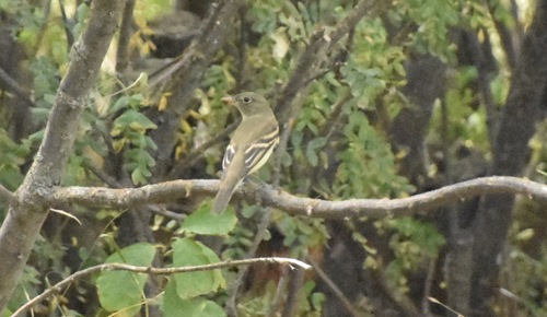
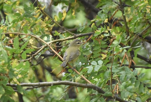
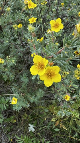
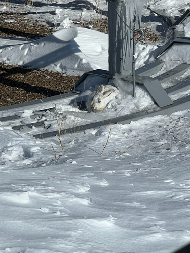
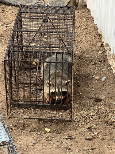
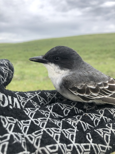
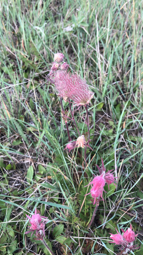
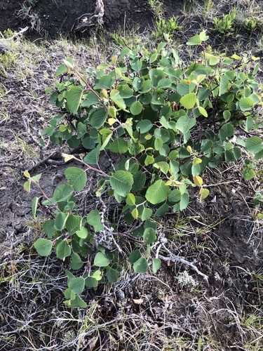
Research-grade observations from iNaturalist (within ~15 mi).
Nearest stream gauge
Live readings from USGS NWIS · measured 2026-09-17 10:15 UTC.
Events
Gallery
Sources
- • Wikipedia
- • US Census Bureau (ACS 5-year estimates)
- • NOAA National Weather Service
- • Wikidata
- • USGS NWIS (water data)
- • NCES via Urban Institute Education Data Portal
- • iNaturalist
- • CDC PLACES
- • Open-Meteo / sunrise-sunset.org
- • Wikipedia Pageviews API
- • NASA EONET