Browse / Malaysia / Selangor / Ampang Jaya
Ampang Jaya
Selangorcity

Ampang Jaya
Total population
531,904
Founded
1992
Demographic figures from Department of Statistics Malaysia. Overview below cites Wikipedia and may reference a different year.
City facts
Facts from Wikidata (CC0).
Overview
Ampang Jaya, more commonly known as just Ampang, is a town, a mukim and a parliamentary constituency straddling parts of the Hulu Langat District and Gombak District, in eastern Selangor, Malaysia. It is located just outside the eastern border of Kuala Lumpur Federal Territory.
Read more on WikipediaHistory & geography
History
Kuala Lumpur was founded in 1857 at the confluence of the Sungei Lumpur (now Gombak River) and the Klang River, which now houses the Kuala Lumpur Jamek Mosque. Before the arrival of the Chinese for tin mining, Kuala Lumpur was a small hamlet with only several shops and houses. Ampang was one of the earliest areas in the Klang Valley to be opened for tin mining. The name "Ampang" derives from the old spelling of the Malay word empangan (or ampangan), meaning dam; the place was named in reference to the miners' dams. A road was built to connect Ampang to Kuala Lumpur which is today Jalan Ampang. Between colonial rule and February 1974, Ampang district was part of the greater Kuala Lumpur district in Selangor. Following the creation of the Federal Territory of Kuala Lumpur on 1 February 1974, Ampang district was split into two; the western part, located within the Federal Territory, became Ampang Hilir, and the eastern part, remained in Selangor, as part of Hulu Langat (Kajang) District. During the height of the Malayan Emergency in the 1950s, the British established the Ampang New Village, which became one of the largest Chinese settlements in the Klang Valley. The Kau Ong Yah Lam Thian Kiong Temple (安邦南天宮) in Ampang New Village is famous for the Nine Emperor Gods festival, which is celebrated annually on the 9th month of the Chinese lunar calendar, between late-September and early-October. On 1 July 1992, the Gombak District Council (Majlis Daerah Gombak) and the Hulu Langat District Council (Majlis Daerah Hulu Langat) respectively ceded the districts of Ulu Klang and Ampang, forming the Ampang Jaya Municipal Council. One block of the Highland Towers, located within Ampang Jaya's territory, collapsed on 11 December 1993. On 16 December 1996, Malaysia's first metro…
Geography
Situated to the east of Kuala Lumpur, Ampang Jaya covers an area of 143.5 km2, covering the parliamentary constituencies of Ampang, Pandan and Gombak, and stretches from Pandan Indah from the south, through Ampang town, Hulu Klang, Melawati, and touching the Klang Gates Dam in the north. Clockwise, Ampang Jaya borders the remainder of Hulu Langat District in the east and south, the Federal Territory of Kuala Lumpur in the west, Gombak District in the north, and a short border with Bentong (Pahang) in the northeast.
Excerpted from the corresponding Wikipedia article (CC BY-SA).
Geography
Coordinates & boundaries from the US Census TIGER/Line shapefiles.
Climate
Air quality
Walkability
Amenities nearby
Wildlife & biodiversity
Earthquake history
Photos
Sights & places nearby
Notable people from here

People born within ~10 km, from Wikidata (CC0). Click any name for their Wikipedia article.
Nearby places in Selangor
- Batu 14 Hulu Langat4.4 mi away
- Kampung Batu 16 Dusun Tua5.5 mi away
- Hulu Kelang5.7 mi away
- Petaling Jaya7.7 mi away · pop. 771,687
- Gombak7.8 mi away
- Bandar Baru Bangi11.6 mi away
- Kampung Pasir Baru12.1 mi away
- Subang Jaya13 mi away · pop. 902,086
- Semenyih14 mi away · pop. 45,000
- Ulu Kuang15.1 mi away
- Sungai Buloh15.2 mi away
- Kampung Melayu Batu 1616.5 mi away
Geography & sun
Elevation, sunrise/sunset and daylight from Open-Meteo. Solar climatology from NASA POWER.
Nearby airports
Public attention
Pageview totals from the Wikimedia Pageviews API.
Books about this place
Recent natural events nearby
Ground air-quality sensors
Recently spotted species

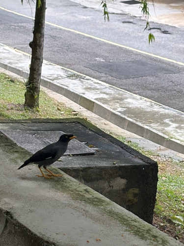
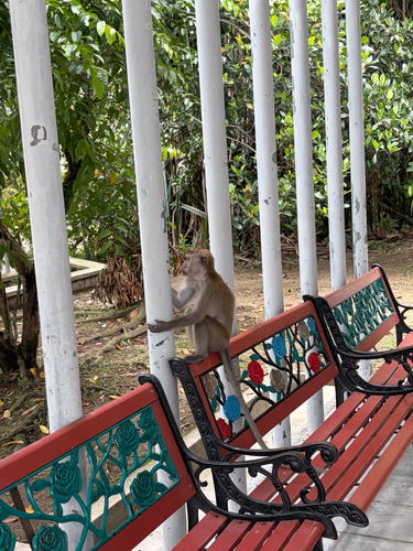
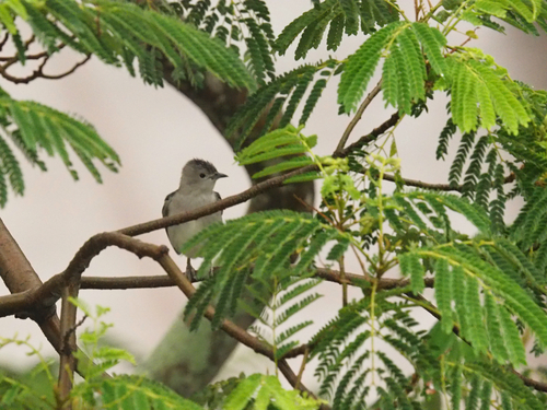
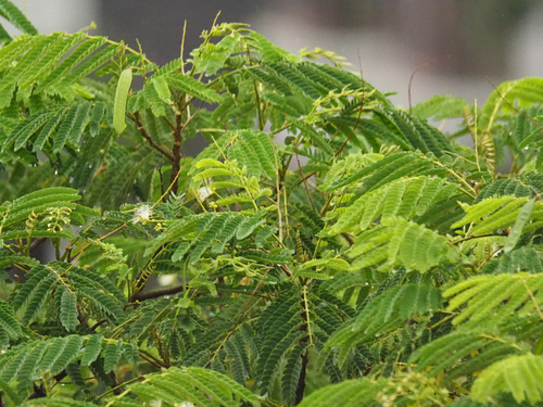
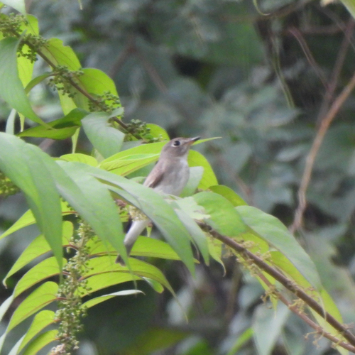
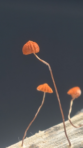
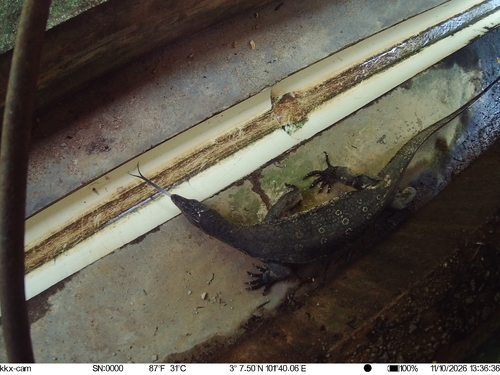
Research-grade observations from iNaturalist (within ~15 mi).
Events
Gallery
Sources
- • Wikipedia
- • Wikidata
- • iNaturalist
- • Open-Meteo / sunrise-sunset.org
- • Wikipedia Pageviews API