Browse / Malaysia / Selangor / Dengkil
Dengkil
Selangortown

Dengkil
Demographic figures from Department of Statistics Malaysia. Overview below cites Wikipedia and may reference a different year.
City facts
Overview
Dengkil is a town and mukim in Sepang District, southern Selangor, Malaysia.
Read more on WikipediaHistory & geography
History
Dengkil started as a traditional Malay settlement and boomed in the 1920s as a major tin mining hub in the Hulu Langat district. Later it became part of Sepang district when the district was formed on January 1, 1975. After the tin crash in the mid-1980s, it transitioned into a quiet agricultural town. Local oral history suggests the name "Dengkil" may come from a British explorer or plantation manager named George, which was pronounced "Dengkil" by locals. Other theories attribute the name to the local term "dingkil" (a barren fruit) or "dengkel" (meaning shallow, referencing the nearby Langat River). The local Chinese community historically referred to the town as Ling Kay (Dragon Stream). Legend holds that a dragon meditated in the Langat River for 900 years before being driven away by the British. In 1950, during the communist insurgency, the British gathered scattered Chinese communities into Kampung Baru Seri Dengkil to establish better security and control over the local populace.
Geography
The town lies between Cyberjaya to the northwest and the Kuala Lumpur International Airport to the south. It is located just outside Putrajaya's southern border. There are two well-known rivers in Dengkil, Sungai Semenyih and Sungai Langat, the rivers merge near Jenderam Hilir.
Excerpted from the corresponding Wikipedia article (CC BY-SA).
Geography
Coordinates & boundaries from the US Census TIGER/Line shapefiles.
Climate
Air quality
Walkability
Amenities nearby
Wildlife & biodiversity
Most-observed species
- House CrowCorvus splendens Vieillot, 1817 · Aves1,129
- Javan MynaAcridotheres javanicus Cabanis, 1851 · Aves923
- Yellow-vented BulbulPycnonotus goiavier (Scopoli, 1786) · Aves576
- Common MynaAcridotheres tristis (Linnaeus, 1766) · Aves572
- Zebra DoveGeopelia striata (Linnaeus, 1766) · Aves499
- White-throated KingfisherHalcyon smyrnensis (Linnaeus, 1758) · Aves479
- Eurasian Tree SparrowPasser montanus (Linnaeus, 1758) · Aves443
- Black-naped OrioleOriolus chinensis Linnaeus, 1766 · Aves435
Citizen-science & research observations from the Global Biodiversity Information Facility (GBIF).
Earthquake history
Events from the USGS Earthquake Catalog (global) (FDSN Event Web Service).
Photos
Sights & places nearby
Notable people from here
Nearby places in Selangor
- Cyberjaya5 mi away
- Bandar Baru Bangi8.6 mi away
- Kajang11.8 mi away · pop. 1,047,356
- Semenyih13 mi away · pop. 45,000
- Beranang13.6 mi away
- Kanchong Darat14.4 mi away
- Teluk Panglima Garang14.5 mi away
- Petaling Jaya16.1 mi away · pop. 771,687
- Tanjung Sepat16.3 mi away
- Permatang Pasir17.1 mi away
- Shah Alam17.9 mi away · pop. 812,327
- Ampang Jaya18.7 mi away · pop. 531,904
Geography & sun
Elevation, sunrise/sunset and daylight from Open-Meteo. Solar climatology from NASA POWER.
Nearby airports
Public attention
Pageview totals from the Wikimedia Pageviews API.
Books about this place
Recent natural events nearby
Ground air-quality sensors
Recently spotted species
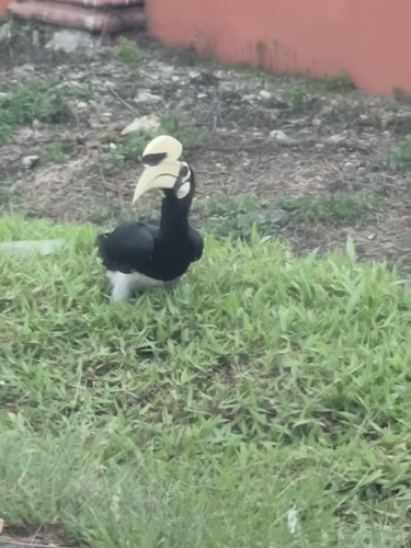
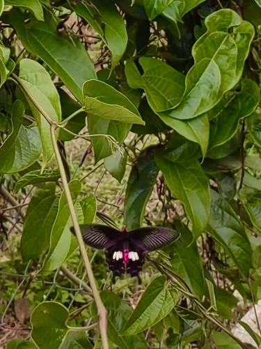
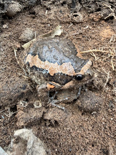
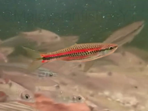
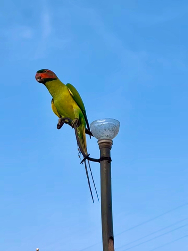
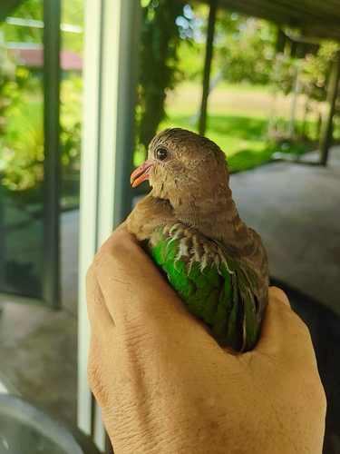
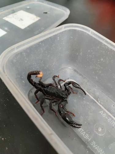
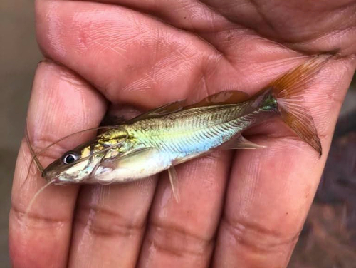
Research-grade observations from iNaturalist (within ~15 mi).
Events
Gallery
Sources
- • Wikipedia
- • USGS Earthquake Catalog (global feed)
- • GBIF (Global Biodiversity Information Facility)
- • iNaturalist
- • Open-Meteo / sunrise-sunset.org
- • Wikipedia Pageviews API