Browse / Malaysia / Selangor / Klang
Klang
Selangorcity

Klang
Total population
902,025
Demographic figures from Department of Statistics Malaysia. Overview below cites Wikipedia and may reference a different year.
City facts
Facts from Wikidata (CC0).
Overview
Klang or Kelang, officially the Royal City of Klang, is a city and the royal capital of the state of Selangor, Malaysia. It is the administrative centre of Klang District and lies on the Klang River, approximately 32 kilometres (20 mi) west of central Kuala Lumpur and east of Port Klang.
Read more on WikipediaHistory & geography
History
The Klang area has been inhabited since prehistoric times. Archaeological finds from the region include bronze drums, axes and iron implements. The Klang Bell, a bronze bell dated to approximately the 2nd century BC to the 2nd century AD, was discovered in the area and is now held by the British Museum. Klang's position near the mouth of a river leading into the tin-rich interior gave the settlement strategic importance. The name was recorded in the 14th-century Javanese poem Nagarakretagama, while the Klang River estuary also appeared on maps associated with the voyages of Zheng He. During the 15th century, Klang was under the Malacca Sultanate. Tun Perak, one of Malacca's most prominent Bendahara, was associated with Klang before his appointment to senior office in Malacca. Following the Portuguese conquest of Malacca in 1511, Klang remained under Malay control and was subsequently associated with the Johor Sultanate. Bugis migration into the western coast of the Malay Peninsula during the 17th and 18th centuries contributed to the formation of the Selangor Sultanate, which came to control Klang. During the 19th century, expanding tin mining in the Klang Valley increased the economic and political importance of Klang. Rivalry over control of the district was a major factor in the Klang War, or Selangor Civil War, between 1867 and 1874. After Selangor accepted a British Resident in 1874, Klang became the centre of the colonial administration. The administrative capital was moved to Kuala Lumpur in 1880 as the latter grew into the principal tin-mining settlement of the interior. Klang nevertheless remained Selangor's main outlet for tin until the development of Port Swettenham, now Port Klang, at the river mouth. A railway from Kuala Lumpur reached Bukit Kuda in…
Excerpted from the corresponding Wikipedia article (CC BY-SA).
Geography
Coordinates & boundaries from the US Census TIGER/Line shapefiles.
Climate
Air quality
Walkability
Amenities nearby
Wildlife & biodiversity
Earthquake history
Photos
Sights & places nearby
Notable people from here


People born within ~10 km, from Wikidata (CC0). Click any name for their Wikipedia article.
Nearby places in Selangor
- Kampung Nelayan Telok Gong6.6 mi away
- Kapar8.1 mi away
- Subang Jaya9.5 mi away · pop. 902,086
- Kampung Sungai Pinang9.9 mi away
- Kampung Perigi Nenas12 mi away
- Kampung Bandar12.5 mi away
- Kampung Seri Cheeding13.2 mi away
- Bagan Pulau Ketam13.3 mi away
- Sungai Buloh13.5 mi away
- Kampung Sungai Buaya13.7 mi away
- Petaling Jaya14.3 mi away · pop. 771,687
- Permatang Pasir14.4 mi away
Geography & sun
Elevation, sunrise/sunset and daylight from Open-Meteo. Solar climatology from NASA POWER.
Nearby airports
Public attention
Pageview totals from the Wikimedia Pageviews API.
Books about Klang


Search results from Open Library.
Recent natural events nearby
Ground air-quality sensors
Recently spotted species
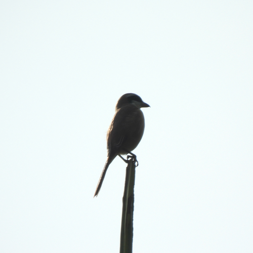

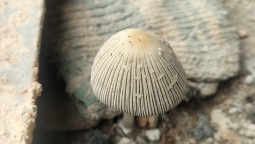

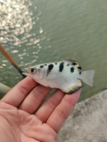
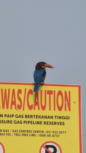
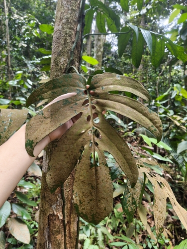
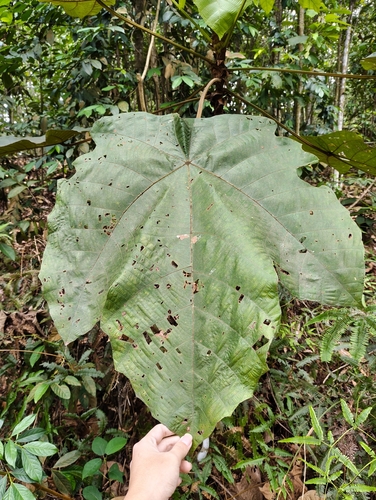
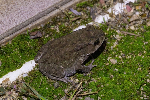
Research-grade observations from iNaturalist (within ~15 mi).
Events
Gallery
Sources
- • Wikipedia
- • Wikidata
- • iNaturalist
- • Open-Meteo / sunrise-sunset.org
- • Wikipedia Pageviews API
- • Open Library