Browse / Malaysia / Selangor / Puchong
Puchong
Selangortown

Puchong
Total population
400,000
Founded
1900
Demographic figures from Department of Statistics Malaysia. Overview below cites Wikipedia and may reference a different year.
City facts
Facts from Wikidata (CC0).
Overview
Puchong is a major town and a parliamentary constituency in the Petaling District, in the state of Selangor, Malaysia. Bordering Kuala Lumpur, it is part of the Greater Kuala Lumpur area. It is bordered by Petaling Jaya in the north, Subang Jaya in the west, Cyberjaya and Putrajaya in the south, and Seri Kembangan in the east.
Read more on WikipediaHistory & geography
History
The first settlers of the area were the Orang Asli community in a village known as Kampung Pulas. In the 1900s, little herons (Malay: burung pucung) were aplenty in the area and were a staple for the Orang Asli. It is widely believed that the name "Puchong" is derived and adopted from this heron by the early settlers. However, it is believed that the area was explored by immigrants from Sumatra and Java. They initially worked as fish mongers, rubber tappers and miners. Due to the booming tin mining industry, immigrants from China and India were subsequently brought in. The rapid development of nearby Putrajaya, the new federal administrative capital, and Cyberjaya further accelerated Puchong's growth. The relative close proximity to urban centres of the KL metro area such as KLCC, Bandar Sunway, Bukit Jalil, Old Klang Road and Sungai Besi attracted additional residents. On 19 February 1989, Flying Tiger Line Flight 066 crashed in Puchong. All 4 people aboard perished. Since then, urbanisation occurred rapidly with many industrial parks, commercial centres and residential areas mushrooming along Jalan Puchong. Residential areas include Taman Kinrara, Bandar Bukit Puchong 2 and Bandar Kinrara.
Excerpted from the corresponding Wikipedia article (CC BY-SA).
Geography
Coordinates & boundaries from the US Census TIGER/Line shapefiles.
Climate
Air quality
Walkability
Amenities nearby
Wildlife & biodiversity
Earthquake history
Photos
Sights & places nearby
Notable people from here


People born within ~10 km, from Wikidata (CC0). Click any name for their Wikipedia article.
Nearby places in Selangor
- Subang Jaya2.7 mi away · pop. 902,086
- Petaling Jaya4.9 mi away · pop. 771,687
- Bandar Baru Bangi11 mi away
- Kampung Seri Cheeding11.1 mi away
- Sungai Buloh13 mi away
- Kampung Olak Lempit13.9 mi away
- Batu 14 Hulu Langat14.8 mi away
- Gombak15.3 mi away
- Hulu Kelang15.7 mi away
- Ulu Kuang16 mi away
- Kampung Nelayan Telok Gong16.4 mi away
- Kampung Batu 16 Dusun Tua16.6 mi away
Geography & sun
Elevation, sunrise/sunset and daylight from Open-Meteo. Solar climatology from NASA POWER.
Nearby airports
Public attention
Pageview totals from the Wikimedia Pageviews API.
Books about Puchong
Search results from Open Library.
Recent natural events nearby
Ground air-quality sensors
Recently spotted species
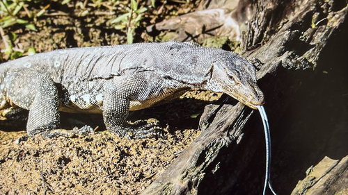
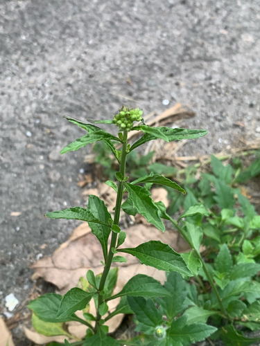
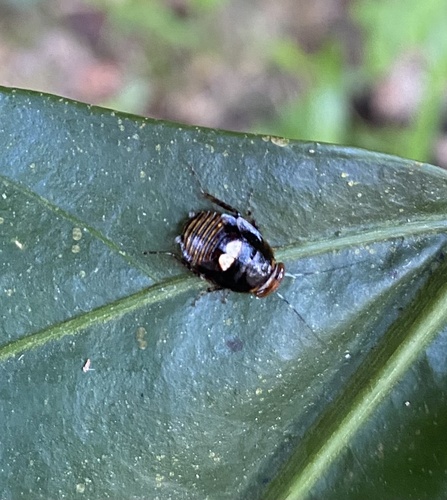
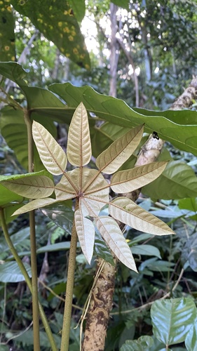
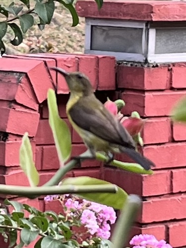
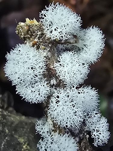
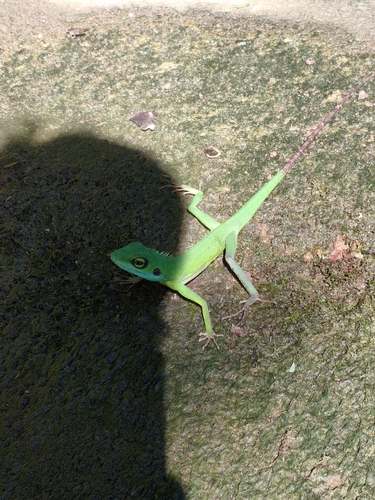
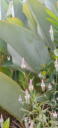
Research-grade observations from iNaturalist (within ~15 mi).
Events
Gallery
Sources
- • Wikipedia
- • Wikidata
- • iNaturalist
- • Open-Meteo / sunrise-sunset.org
- • Wikipedia Pageviews API
- • Open Library