Browse / United States / North Carolina / Burnsville
Burnsville
North Carolinatown

Burnsville
Total population
2,082
Median home value
$243,500
Bachelor's+
Median income
$50,997
Demographic figures from US Census Bureau · ACS 5-year estimates. Overview below cites Wikipedia and may reference a different year.
City facts
Overview
Burnsville is a town that serves as the county seat of Yancey County, North Carolina, United States. Located in the Blue Ridge Mountains of western North Carolina, it sits in the shadow of Mount Mitchell, the highest peak in the Eastern Continental United States. The population was 1,612 at the 2020 census.
Read more on WikipediaHistory & geography
History
The town was founded on March 6, 1834, from land conveyed by John "Yellow Jacket" Bailey, and it was named after Captain Otway Burns, a naval hero of the War of 1812. In 1909, a statue of Captain Burns was given to the town by his grandson, Walter Francis Burns Sr., and it was set on a granite pedestal in the center of the town square. It has an inscription that reads, in part, "He Guarded Well Our Seas, Let Our Mountains Honor Him." Due to damages, the original statue was replaced in the early 2000s. On April 6, 2010, Burnsville, the only incorporated town within Yancey County, held a referendum providing for the legal sale of alcohol within the town limits. The referendum passed. After applying for and receiving the applicable permits, Burnsville now operates an ABC store; some retail establishments now sell beer and wine; and a few restaurants sell beer, wine, and mixed drinks. Graham County is the last remaining fully dry county in the state of North Carolina. In September 2024, Burnsville and the surrounding area was heavily impacted by Hurricane Helene and subsequent storm-induced landslides, resulting in devastating property and infrastructure damage to Yancey, Mitchell, and Avery Counties. Officials reported the damages and repairs to the area to be over $50 billion.
Geography
Burnsville is located in the mountains of western North Carolina, at 2,749 feet above sea level. It is on a tributary of the Cane River, just north of the Black Mountains, and 30 miles northeast of Asheville. U.S. Highway 19E runs through the town, leading to Interstate 26 and Mars Hill to the west and, to the east, to Spruce Pine. According to the United States Census Bureau, the town has a total area of , all land.
Excerpted from the corresponding Wikipedia article (CC BY-SA).
Demographics & economy
Race & ethnicity
Source: US Census Bureau — American Community Survey, 5-year estimates.
Geography
Coordinates & boundaries from the US Census TIGER/Line shapefiles.
Climate
Current forecast
Forecast for Burnsville, NC from NOAA NWS API.
Air quality
Industrial & pollution facilities
Natural hazard risk
Health (adults)
Age-adjusted prevalence estimates from CDC PLACES (latest release).
Walkability
Amenities nearby
Wildlife & biodiversity
Schools
Largest nearby schools
- Mountain Heritage HighHigh · Burnsville · 639 students · 13.6:1 ratio
- Blue Ridge ElementaryElementary · Burnsville · 371 students · 16.1:1 ratio
- Burnsville ElementaryElementary · Burnsville · 286 students · 15.1:1 ratio
- East Yancey MiddleMiddle · Burnsville · 255 students · 15:1 ratio
- Cane River MiddleMiddle · Burnsville · 191 students · 13.6:1 ratio
- Micaville ElementaryElementary · Burnsville · 188 students · 14.5:1 ratio
- South Toe ElementaryElementary · Burnsville · 108 students · 15.4:1 ratio
Public K–12 schools within ~10 mi from Urban Institute Education Data Portal (NCES Common Core of Data, 2022).
Earthquake history
Photos
Sights & places nearby
Notable people from here
Nearby places in North Carolina
- Barnardsville12.8 mi away
- Spruce Pine12.8 mi away · pop. 2,398
- Mars Hill15.3 mi away · pop. 3,025
- Montreat18.5 mi away · pop. 630
- Black Mountain20.9 mi away · pop. 8,513
- Crossnore21.8 mi away
- Marion23.4 mi away · pop. 7,579
- Elk Park24.3 mi away
- Linville26 mi away
- Glenwood27.3 mi away · pop. 226
- Grandfather Village27.7 mi away
- Fairview27.8 mi away · pop. 2,298
Geography & sun
Elevation, sunrise/sunset and daylight from Open-Meteo. Solar climatology from NASA POWER.
Nearby airports
Public attention
Pageview totals from the Wikimedia Pageviews API.
Books about Burnsville

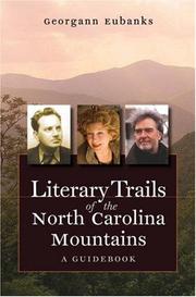

Search results from Open Library.
Recent natural events nearby
Ground air-quality sensors
Recently spotted species
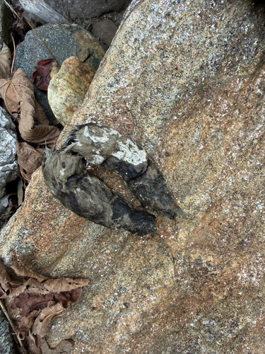
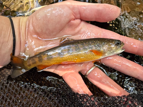
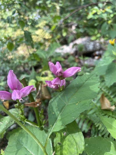
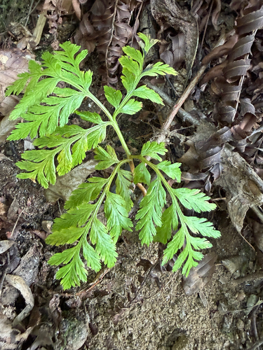
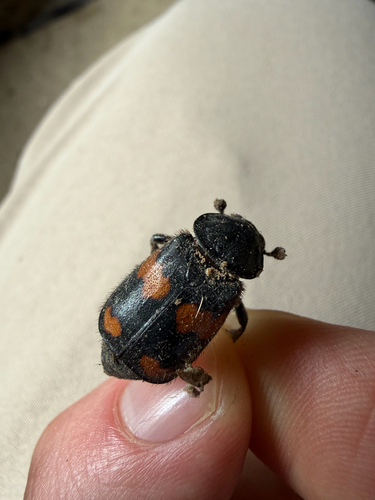
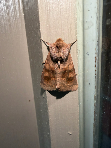
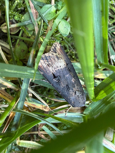
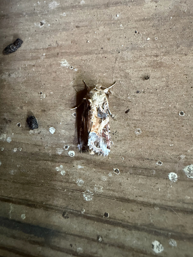
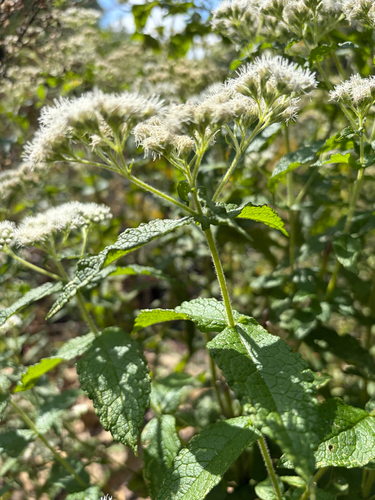
Research-grade observations from iNaturalist (within ~15 mi).
Nearest stream gauge
Events
Gallery
Sources
- • Wikipedia
- • US Census Bureau (ACS 5-year estimates)
- • NOAA National Weather Service
- • NCES via Urban Institute Education Data Portal
- • iNaturalist
- • CDC PLACES
- • Open-Meteo / sunrise-sunset.org
- • Wikipedia Pageviews API
- • Open Library