Browse / United States / North Carolina / Spruce Pine
Spruce Pine
North Carolinatown

Spruce Pine
Total population
2,398
Median home value
$207,500
Bachelor's+
Median income
$42,098
Founded
1913
Demographic figures from US Census Bureau · ACS 5-year estimates. Overview below cites Wikipedia and may reference a different year.
City facts
Facts from Wikidata (CC0).
Overview
Spruce Pine is the largest town in Mitchell County, North Carolina, United States. The population was 2,194 at the 2020 census.
Read more on WikipediaHistory & geography
History
Spruce Pine was founded in 1907, when the Clinchfield Railroad made its way up the North Toe River from Erwin, Tennessee. The town was originally centered around a tavern operated by Isaac English, which was located on an old roadway that ran from Cranberry down to Marion, North Carolina. The Old English Inn still stands at its original location near the center of town. The railroad, combined with a rapidly expanding mining industry (the town is the namesake of the famous Spruce Pine Mining District), made Spruce Pine the largest town in the Toe River Valley, as it became the hub of commerce and culture for the area. Spruce Pine was the home of The Feldspar Company and Spruce Pine Mica, and other major mining interests had operations in and around the town. The Spruce Pine Mining District has high-purity quartz, a mineral required in a variety of important products, such as semiconductors. Spruce Pine is the exclusive supplier of sand to Augusta National Golf Club. With the decline in use of railroads to ship goods, along with increasing automation in the mining industry, the town recently has seen its fortunes dwindle and has undertaken a major effort to reinvent itself. Tourism has become a major economic force in the region, and the town's proximity to the Blue Ridge Parkway, combined with its location near the edge of the Blue Ridge Escarpment, has helped make Spruce Pine a travel destination for many. The town also boasts the moniker of "The Mineral City". On August 4, 2007, the downtown area of Spruce Pine was threatened when an arsonist set fire to several buildings downtown. The fires, which brought firefighters from four counties around Spruce Pine, severely damaged the building that housed Cheapskates Music on Lower Street and caused some tense moments…
Geography
Spruce Pine is in southern Mitchell County, in the valley of the North Toe River. The town is north of the Blue Ridge Parkway, northeast of Asheville, and southwest of Boone. U.S. Route 19E passes through the southern part of the town, bypassing the downtown area. US 19E leads west to Burnsville and north to Elizabethton, Tennessee. North Carolina Highway 226 joins US 19E passing through Spruce Pine; it leads northwest to Bakersville, the Mitchell county seat, and south over the crest of the Blue Ridge Mountains to Marion. According to the U.S. Census Bureau, the town of Spruce Pine has a total area of , all of it recorded as land.}}
Excerpted from the corresponding Wikipedia article (CC BY-SA).
Demographics & economy
Race & ethnicity
Source: US Census Bureau — American Community Survey, 5-year estimates.
Geography
Coordinates & boundaries from the US Census TIGER/Line shapefiles.
Climate
Current forecast
Forecast for Spruce Pine, NC from NOAA NWS API.
Air quality
Industrial & pollution facilities
Natural hazard risk
Health (adults)
Age-adjusted prevalence estimates from CDC PLACES (latest release).
Walkability
Amenities nearby
Wildlife & biodiversity
Schools
Largest nearby schools
- Mitchell HighHigh · Bakersville · 497 students · 13.8:1 ratio
- Harris MiddleMiddle · Spruce Pine · 236 students · 13.9:1 ratio
- Gouge ElementaryElementary · Bakersville · 227 students · 11.9:1 ratio
- Greenlee PrimaryElementary · Spruce Pine · 222 students · 13.1:1 ratio
- Deyton ElementaryElementary · Spruce Pine · 219 students · 14.6:1 ratio
- Bowman MiddleMiddle · Bakersville · 202 students · 14.4:1 ratio
Public K–12 schools within ~10 mi from Urban Institute Education Data Portal (NCES Common Core of Data, 2022).
Earthquake history
Photos
Sights & places nearby
Notable people from here
Nearby places in North Carolina
- Crossnore10.8 mi away
- Burnsville12.8 mi away · pop. 2,082
- Linville15.3 mi away
- Marion16.8 mi away · pop. 7,579
- Grandfather Village17.3 mi away
- Elk Park17.6 mi away
- Sugar Mountain18.6 mi away
- Banner Elk20.3 mi away
- Glenwood21.2 mi away · pop. 226
- Seven Devils21.7 mi away
- Montreat22.4 mi away · pop. 630
- Barnardsville23.5 mi away
Geography & sun
Elevation, sunrise/sunset and daylight from Open-Meteo. Solar climatology from NASA POWER.
Nearby airports
Public attention
Pageview totals from the Wikimedia Pageviews API.
Books about Spruce Pine


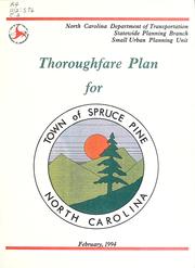


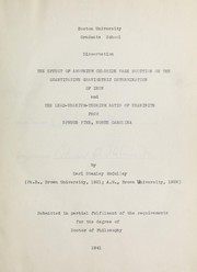
Search results from Open Library.
Recent natural events nearby
Ground air-quality sensors
Recently spotted species

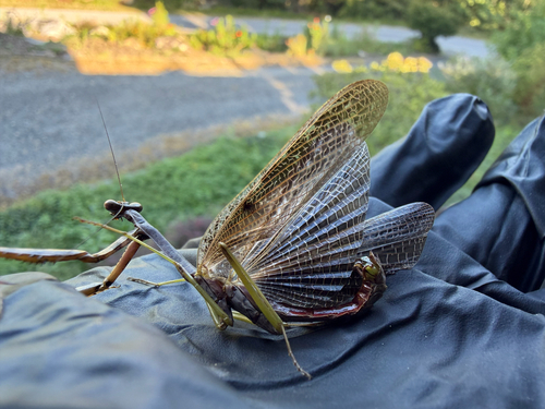
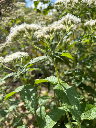

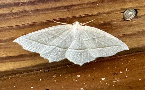
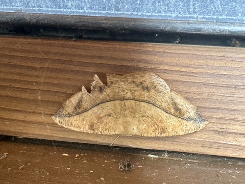
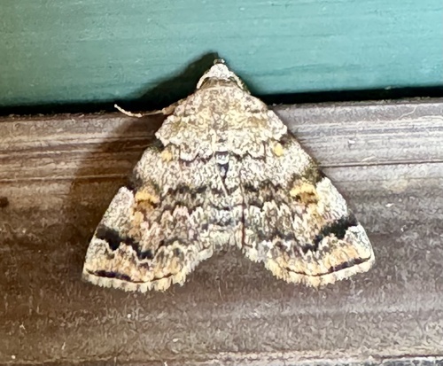
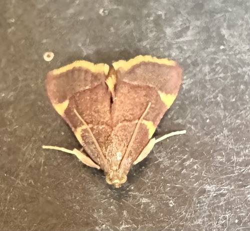

Research-grade observations from iNaturalist (within ~15 mi).
Nearest stream gauge
Events
Gallery
Sources
- • Wikipedia
- • US Census Bureau (ACS 5-year estimates)
- • NOAA National Weather Service
- • Wikidata
- • NCES via Urban Institute Education Data Portal
- • iNaturalist
- • CDC PLACES
- • Open-Meteo / sunrise-sunset.org
- • Wikipedia Pageviews API
- • Open Library