Browse / United States / North Carolina / Pinehurst
Pinehurst
North Carolinavillage

Pinehurst
Total population
18,256
Median home value
$476,600
Bachelor's+
Median income
$109,802
Demographic figures from US Census Bureau · ACS 5-year estimates. Overview below cites Wikipedia and may reference a different year.
City facts
Overview
Pinehurst, officially The Village of Pinehurst, is a village in Moore County, North Carolina, United States. As of the 2020 census, the population was 17,581, up from 13,124 in 2010. "Pinehurst" refers to both the village and the Pinehurst Resort, a golf resort, which has hosted multiple U.S. Open championships in the sport. A large portion of the central village, including the resort complexes, is a National Historic Landmark District, designated in 1996 for its landscape design by Frederick Law Olmsted and its significance in the history of golf in the United States. Pinehurst has been designated as the "Home of American Golf" by the US Golf Association and by the state of North Carolina. The surrounding area is known for its strong equestrian community, including the former Stoneybrook Steeplechase, and the current Pinehurst Harness Track. Fox hunting is also a common sport in the area.
Read more on WikipediaHistory & geography
History
In 1895, James Walker Tufts purchased , and eventually purchased an additional , of land for approximately $1.25 per acre in the North Carolina Sandhills, with the vision of building a "health resort for people of modest means". Tufts retained Frederick Law Olmsted to design the village, which features curving lanes and a picturesque central green. Originally a health retreat titled "Tuftstown" and also "Pinealia" during construction stages in 1895, it expanded and was renamed Pinehurst by December of that year. The name was suggested in a public contest to name a new development in Martha's Vineyard; as it was not selected, Tufts decided to re-appropriate the name for use at his new development in the South. The village saw its first guests in January 1896. The first golf course at Pinehurst Resort was laid out in 1897–1898. The first championship held at Pinehurst was the United North and South Amateur Championship of 1901. The best known course, Pinehurst No. 2, was designed by Donald Ross and completed in 1907. Pinehurst Race Track was established in 1915. In 1980, the village became a municipality. In 1999, National Public Radio reported that many local business owners in Pinehurst were upset because the Pinehurst Resort was using lawsuits to prevent local businesses from using the term "Pinehurst" in the names of their businesses. The village council sought a written guarantee from the Pinehurst Resort that it would not force any business in the village to remove the name "Pinehurst" from its name unless the business is a direct competitor. The request came a week later in a local newspaper. The village also sued the resort over control of the name shared between the resort and village. In the quarter century of growth since, the relationship between the…
Geography
Pinehurst is in southern Moore County, bordered to the east by Southern Pines, to the south by Aberdeen, and to the north by Taylortown. It is by road west-northwest of Fayetteville, southwest of Raleigh, and south-southeast of Greensboro. U.S. Routes 15 and 501 pass together through the eastern side of the village, leading south to Aberdeen and north to Carthage, the Moore county seat. North Carolina Highway 2 has its western terminus in the center of Pinehurst and leads east to its eastern terminus at U.S. Route 1 in Southern Pines. NC Highway 5 has its northern terminus at in the northern part of Pinehurst and leads southeast through the center of the village, ending to the southeast at US 1-15-501 in Aberdeen. NC Highway 211 crosses the northern and eastern sides of Pinehurst, leading south with Routes 15-501 to Aberdeen and northwest to Candor. The village of Pinehurst has a total area of , of which are land and , or 3.72%, are water. Three streams, Aberdeen Creek, Horse Creek, and Joes Fork, have their headwaters in the Pinehurst area. Aberdeen Creek and Horse Creeks are within the Lumber River watershed, while Joes Fork is within the Cape Fear River watershed.
Excerpted from the corresponding Wikipedia article (CC BY-SA).
Demographics & economy
Race & ethnicity
Source: US Census Bureau — American Community Survey, 5-year estimates.
Geography
Coordinates & boundaries from the US Census TIGER/Line shapefiles.
Climate
Air quality
Industrial & pollution facilities
Natural hazard risk
Health (adults)
Walkability
Amenities nearby
Wildlife & biodiversity
Schools
Earthquake history
Photos
Sights & places nearby
Notable people from here


People born within ~10 km, from Wikidata (CC0). Click any name for their Wikipedia article.
Nearby places in North Carolina
- Taylortown2 mi away · pop. 764
- Pinebluff5.7 mi away · pop. 1,806
- Carthage9.7 mi away
- Ellerbe18.3 mi away
- Raeford19.9 mi away · pop. 4,552
- Dobbins Heights23.4 mi away
- Hamlet24.9 mi away · pop. 5,961
- Dundarrach25.5 mi away
- Barbecue26.1 mi away
- Old Hundred26.3 mi away
- Spring Lake26.8 mi away · pop. 11,573
- Gulf27.5 mi away
Geography & sun
Elevation, sunrise/sunset and daylight from Open-Meteo. Solar climatology from NASA POWER.
Nearby airports
Public attention
Pageview totals from the Wikimedia Pageviews API.
Books about Pinehurst



Search results from Open Library.
Recent natural events nearby
- Wildfire Main Trail, Chatham, GeorgiaWildfires · 2026-08-14 · 245 mi
Wildfires, storms and other events from NASA EONET (last 12 months, within 250 mi).
Ground air-quality sensors
Recently spotted species

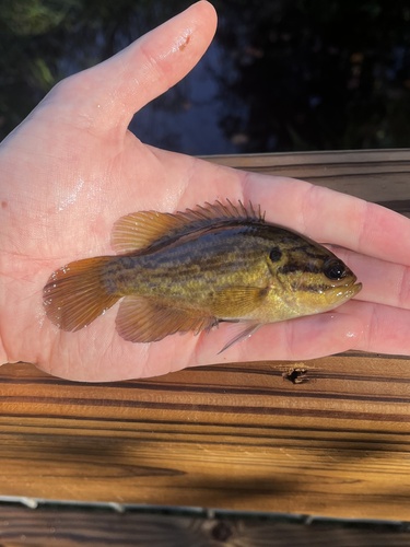
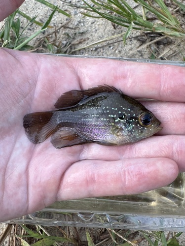
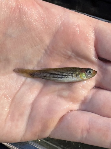
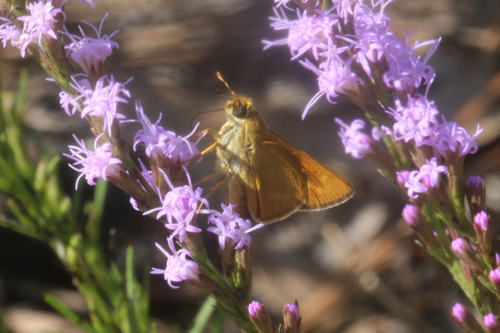
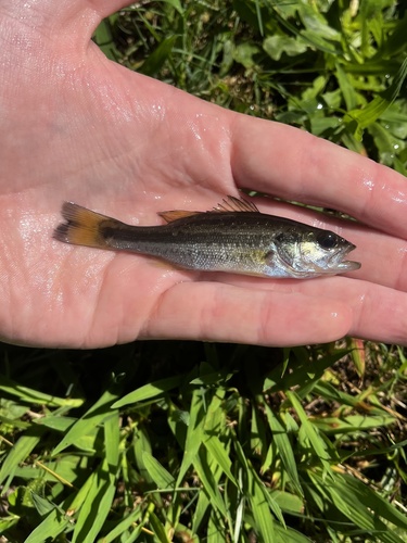
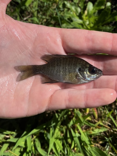
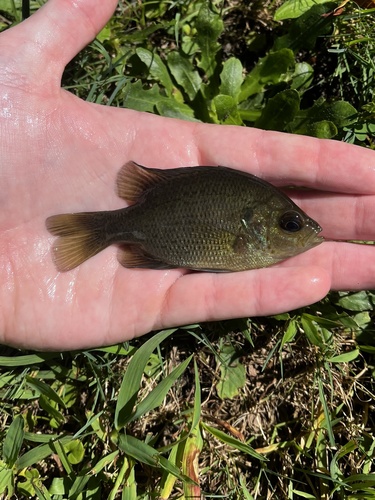
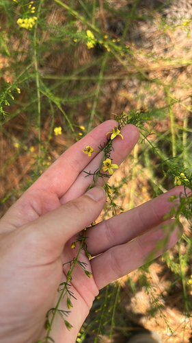
Research-grade observations from iNaturalist (within ~15 mi).
Nearest stream gauge
Events
Gallery
Sources
- • Wikipedia
- • US Census Bureau (ACS 5-year estimates)
- • Wikidata
- • iNaturalist
- • Open-Meteo / sunrise-sunset.org
- • Wikipedia Pageviews API
- • Open Library
- • NASA EONET