Browse / United States / North Carolina / Raeford
Raeford
North Carolinacity

Raeford
Total population
4,552
Median home value
$201,800
Bachelor's+
Median income
$46,494
Demographic figures from US Census Bureau · ACS 5-year estimates. Overview below cites Wikipedia and may reference a different year.
City facts
Facts from Wikidata (CC0).
Overview
Raeford is a city in Hoke County, North Carolina, United States. Its population was 4,559 at the 2020 census. It is the county seat of Hoke County.
Read more on WikipediaHistory & geography
History
John McRae and A.A. Williford operated a turpentine distillery and general store, respectively. Each took a syllable from his name and came up with the name Raeford for the post office they established. The McRae family, who lived at the "ford of the creek", was at one time made up primarily of old Highland Scot families. Likewise, the Upper Cape Fear Valley of North Carolina was, in the 18th and 19th centuries, the largest settlement of Gaelic-speaking Highland Scots in North America. Today, many of these old families continue to live in the area, though their presence is noticeably diminished by the great numbers of newcomers to the area as a result of Fort Bragg. Since World War II, many Lumbee Indian families have moved northward from Robeson County and now constitute a significant element of the population that is otherwise European and African American. The Hoke County Courthouse and Raeford Historic District are listed on the National Register of Historic Places.
Geography
Raeford is located in central Hoke County and is bordered to the northeast by Rockfish Creek, an east-flowing tributary of the Cape Fear River. The southern part of the city drains to Toneys Creek, a south-flowing component of the Lumber River–Pee Dee River–Waccamaw River watershed. U.S. Route 401 runs through the north and west sides of Raeford, leading east to Fayetteville and southwest to Laurinburg. U.S. 401 Business passes through the center of town as Harris Avenue and East Central Avenue. North Carolina Highway 20 leaves the center of Raeford as St. Pauls Drive, leading southeast to St. Pauls. North Carolina Highway 211 runs through the center of Raeford, entering from the south on Main Street and leaving to the west on Prospect Avenue; NC-211 leads south to Lumberton and northwest to Aberdeen. According to the United States Census Bureau, the city has a total area of , of which , or 0.53%, is covered by water.
Excerpted from the corresponding Wikipedia article (CC BY-SA).
Demographics & economy
Race & ethnicity
Source: US Census Bureau — American Community Survey, 5-year estimates.
Geography
Coordinates & boundaries from the US Census TIGER/Line shapefiles.
Climate
Current forecast
Forecast for Raeford, NC from NOAA NWS API.
Air quality
Industrial & pollution facilities
Natural hazard risk
Health (adults)
Walkability
Amenities nearby
Wildlife & biodiversity
Most-observed species
- Northern CardinalCardinalis cardinalis (Linnaeus, 1758) · Aves2,410
- Carolina WrenThryothorus ludovicianus (Latham, 1790) · Aves1,970
- American CrowCorvus brachyrhynchos C.L.Brehm, 1822 · Aves1,859
- Carolina ChickadeePoecile carolinensis (Audubon, 1834) · Aves1,819
- Tufted TitmouseBaeolophus bicolor (Linnaeus, 1766) · Aves1,813
- Mourning DoveZenaida macroura (Linnaeus, 1758) · Aves1,779
- Blue JayCyanocitta cristata (Linnaeus, 1758) · Aves1,758
- Northern MockingbirdMimus polyglottos (Linnaeus, 1758) · Aves1,751
Citizen-science & research observations from the Global Biodiversity Information Facility (GBIF).
Schools
Largest nearby schools
- Hoke County HighHigh · Raeford · 2,060 students · 16.6:1 ratio
- East Hoke MiddleMiddle · Raeford · 780 students · 15:1 ratio
- Upchurch ElementaryElementary · Raeford · 698 students · 15.9:1 ratio
- Don D Steed ElementaryElementary · Raeford · 677 students · 13:1 ratio
- Sandy Grove MiddleMiddle · Lumber Bridge · 645 students · 22.2:1 ratio
- Rockfish Hoke ElementaryElementary · Raeford · 627 students · 13.6:1 ratio
- Scurlock ElementaryElementary · Raeford · 619 students · 12.9:1 ratio
- Sandy Grove ElementaryElementary · Lumber Bridge · 578 students · 14.4:1 ratio
Public K–12 schools within ~10 mi from Urban Institute Education Data Portal (NCES Common Core of Data, 2022).
Earthquake history
Most recent
- M 2.5 — 2012-07-297 km NNW of Wallace, South Carolina
- M 2.9 — 2011-03-219 km S of Cordova, North Carolina
- M 3.7 — 2006-09-257 km W of Rowland, North Carolina
- M 3.4 — 2006-09-224 km WSW of Blenheim, South Carolina
Events from the USGS Earthquake Catalog (global) (FDSN Event Web Service).
Photos
Sights & places nearby
Notable people from here
Nearby places in North Carolina
- Dundarrach5.7 mi away
- Rennert14.4 mi away · pop. 292
- Pinebluff16.3 mi away · pop. 1,806
- Spring Lake19.3 mi away · pop. 11,573
- Pinehurst19.9 mi away · pop. 18,256
- Laurinburg20.7 mi away · pop. 15,087
- Pembroke21.2 mi away · pop. 2,822
- Taylortown21.9 mi away · pop. 764
- Barker Ten Mile24.7 mi away · pop. 1,156
- Barbecue26.1 mi away
- Gibson26.3 mi away · pop. 745
- Dobbins Heights26.8 mi away · pop. 560
Geography & sun
Elevation, sunrise/sunset and daylight from Open-Meteo. Solar climatology from NASA POWER.
Nearby airports
Public attention
Pageview totals from the Wikimedia Pageviews API.
Books about Raeford

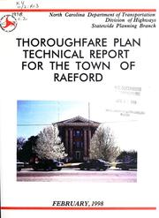


Search results from Open Library.
Recent natural events nearby
- Wildfire Main Trail, Chatham, GeorgiaWildfires · 2026-08-14 · 238 mi
Wildfires, storms and other events from NASA EONET (last 12 months, within 250 mi).
Ground air-quality sensors
Recently spotted species
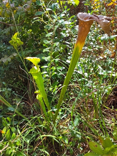
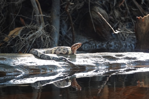
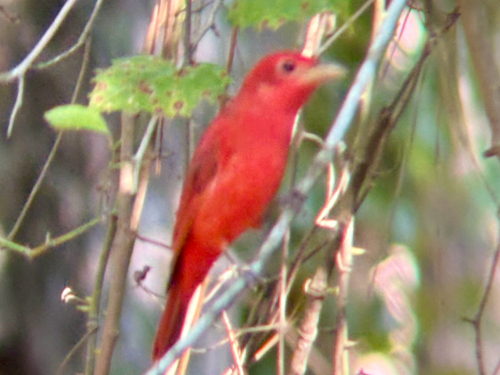
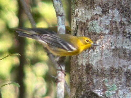
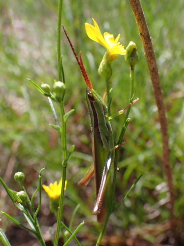
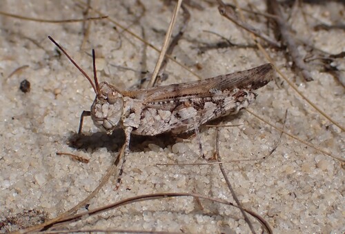
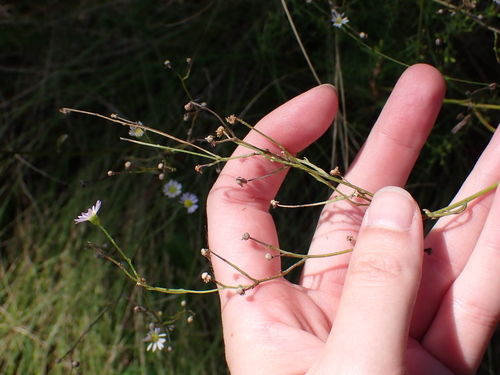
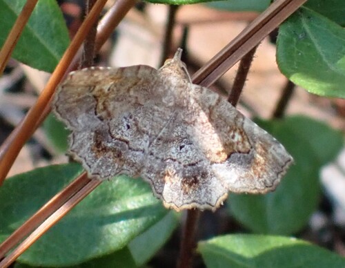
Research-grade observations from iNaturalist (within ~15 mi).
Nearest stream gauge
Events
Gallery
Sources
- • Wikipedia
- • US Census Bureau (ACS 5-year estimates)
- • NOAA National Weather Service
- • Wikidata
- • USGS Earthquake Catalog (global feed)
- • NCES via Urban Institute Education Data Portal
- • GBIF (Global Biodiversity Information Facility)
- • iNaturalist
- • Open-Meteo / sunrise-sunset.org
- • Wikipedia Pageviews API
- • Open Library
- • NASA EONET