Browse / United States / Nebraska / Fort Calhoun
Fort Calhoun
Nebraskacity

Fort Calhoun
Total population
1,173
Median home value
$291,000
Bachelor's+
Median income
$102,396
Demographic figures from US Census Bureau · ACS 5-year estimates. Overview below cites Wikipedia and may reference a different year.
City facts
Facts from Wikidata (CC0).
Overview
←
Read more on WikipediaHistory & geography
History
The area surrounding present-day Fort Calhoun was historically inhabited by Native American peoples, including nations of the central Great Plains. Its location along the Missouri River made the region significant for transportation, trade, and diplomatic relations between Indigenous nations and European-American explorers. In 1804, members of the Lewis and Clark Expedition visited the area and held a diplomatic meeting with representatives of the Otoe and Missouri tribes at a location known as Council Bluff. The site was later considered strategically important because of its position overlooking the Missouri River. In 1819, the United States Army established Fort Atkinson near present-day Fort Calhoun. The fort became the first permanent United States military post west of the Missouri River and served as a center for military operations, trade protection, and relations with Native American nations. It remained active until 1827, when it was abandoned as the Army shifted its focus farther west. Following the abandonment of Fort Atkinson, settlers gradually moved into the surrounding area. Fort Calhoun was platted in 1855 during the period of settlement following the creation of the Nebraska Territory. The community was named after John C. Calhoun, a prominent American statesman who served as the seventh Vice President of the United States. The town developed primarily as an agricultural settlement due to the fertile lands of the Missouri River valley. Farming, livestock production, and local commerce became central parts of the community's economy throughout the 19th and 20th centuries. During the 20th century, Fort Calhoun remained a small agricultural community while becoming increasingly connected to nearby Omaha through improved transportation networks. The…
Excerpted from the corresponding Wikipedia article (CC BY-SA).
Demographics & economy
Race & ethnicity
Source: US Census Bureau — American Community Survey, 5-year estimates.
Geography
Coordinates & boundaries from the US Census TIGER/Line shapefiles.
Climate
Air quality
Industrial & pollution facilities
Natural hazard risk
Health (adults)
Age-adjusted prevalence estimates from CDC PLACES (latest release).
Walkability
Amenities nearby
Wildlife & biodiversity
Schools
Largest nearby schools
- BLAIR HIGH SCHOOLHigh · BLAIR · 710 students · 15.8:1 ratio
- GERALD OTTE BLAIR MIDDLE SCHMiddle · BLAIR · 506 students · 15.3:1 ratio
- BLAIR ARBOR PARK INTERMEDIATE SCHOOLElementary · BLAIR · 475 students · 15.3:1 ratio
- FORT CALHOUN ELEMENTARY SCHOOLElementary · FORT CALHOUN · 457 students · 16.3:1 ratio
- FORT CALHOUN JR-SR HIGH SCHOOLHigh · FORT CALHOUN · 368 students · 16:1 ratio
- DEERFIELD ELEMENTARY SCHOOLElementary · BLAIR · 288 students · 18:1 ratio
- BLAIR NORTH ELEMENTARY SCHOOLElementary · BLAIR · 172 students · 12.3:1 ratio
- BLAIR SOUTH ELEMENTARY SCHOOLElementary · BLAIR · 123 students · 13.7:1 ratio
Public K–12 schools within ~10 mi from Urban Institute Education Data Portal (NCES Common Core of Data, 2022).
Earthquake history
Photos
Sights & places nearby
Notable people from here
Nearby places in Nebraska
Geography & sun
Elevation, sunrise/sunset and daylight from Open-Meteo. Solar climatology from NASA POWER.
Nearby airports
Public attention
Pageview totals from the Wikimedia Pageviews API.
Books about Fort Calhoun

Search results from Open Library.
Recent natural events nearby
Ground air-quality sensors
Recently spotted species
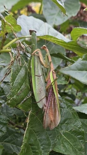
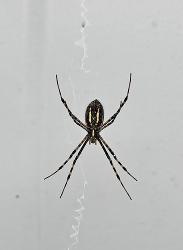
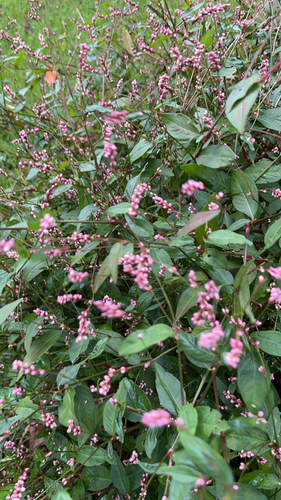
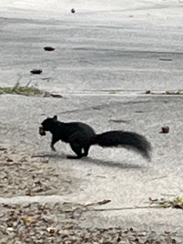
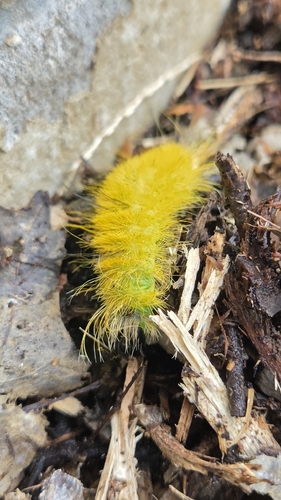
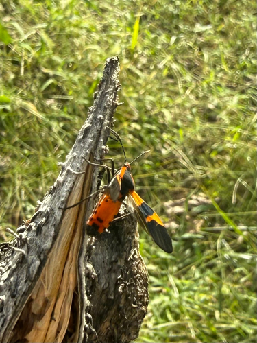
Research-grade observations from iNaturalist (within ~15 mi).
Nearest stream gauge
Events
Gallery
Sources
- • Wikipedia
- • US Census Bureau (ACS 5-year estimates)
- • Wikidata
- • NCES via Urban Institute Education Data Portal
- • iNaturalist
- • CDC PLACES
- • Open-Meteo / sunrise-sunset.org
- • Wikipedia Pageviews API
- • Open Library