Browse / Nigeria / Abia / Umuahia
Umuahia
Abiacity

Umuahia
Demographic figures from National Bureau of Statistics (Nigeria). Overview below cites Wikipedia and may reference a different year.
City facts
Overview
Umuahia is the capital city of Abia State in southeastern Nigeria. Umuahia is located along the rail road that lies between Port Harcourt to its south, and Enugu city to its north. Umuahia has a population of 359,230 according to the 2006 Nigerian census.
Read more on WikipediaHistory & geography
History
According to popular legend, the name Umuahia derives from the Igbo word AmaAhia or "Ama Ahia", which means "market place or market center", respectively. The British, who arrived the region and annexed it sometime around the mid-to late 19th century, upon learning the name, mistakenly pronounced and spelled it as "Umuahia". Other legends exist regarding the origin of Umuahia, but the foregoing version seems most probable by consensus. In precolonial times, it served as one of the central marketplaces in the region for commerce. Given its serenity and proximity to other towns, such as Ohafia, Abiriba, Ihechiowa, Arochukwu, Obowo, Ngwa, Okigwi, Uzuakoli, Bende, Nnewi, Akwa Akpa (Old Calabar), and Kalabari, merchants of produce, pottery, crafts, textile, traditional medicine, palm wine, and tools travelled from afar, to trade at the busy market center, with many roads leading to it. However, the name Ama Ahia was not the town's name; rather it was located in a place called Afor Ibeji, near Olokoro Town. With increasing British administrative and commercial activities in the region and yonder, Umuahia, as it came to be known and written, was relocated to Ibeku Town for better oversight by administrative offices and the convergence of roads at Ibeku. The new location became one of the major trading posts along the rail route built by the United African Company (UAC) for carting produce, raw materials, and minerals along the trade route from Sub-Sahara to the Atlantic Ocean, for onward exportation to Europe. The trading post was named Umuahia-Ibeku Station to reflect the new market square and domain. Over time, the area became known as Umuahia, while the original market town at Afor Ibeji was renamed to Old Umuahia. The hyphenated Umuahia-Ibeku became a source of dispute,…
Excerpted from the corresponding Wikipedia article (CC BY-SA).
Geography
Coordinates & boundaries from the US Census TIGER/Line shapefiles.
Climate
Air quality
Walkability
Amenities nearby
Wildlife & biodiversity
Earthquake history
Photos
Sights & places nearby
Notable people from here


People born within ~10 km, from Wikidata (CC0). Click any name for their Wikipedia article.
Nearby places in Abia
- Vega3750.4 mi away · pop. 3,665
- Stockby3761.9 mi away · pop. 343
- Bergshamra3762.4 mi away
- Märsta3777.4 mi away · pop. 24,068
- Fitzgerald6853.1 mi away · pop. 9
- Fort Chipewyan6876.1 mi away · pop. 852
- Chipewyan Camp - 201C6877 mi away
- Clearwater Camp6938.6 mi away
- Anzac6944.8 mi away · pop. 548
- Janvier South6959.1 mi away · pop. 100
- Gardiner Camp6959.4 mi away
- Garden River6961.9 mi away · pop. 706
Geography & sun
Elevation, sunrise/sunset and daylight from Open-Meteo. Solar climatology from NASA POWER.
Nearby airports
Public attention
Pageview totals from the Wikimedia Pageviews API.
Books about Umuahia
Search results from Open Library.
Recent natural events nearby
Ground air-quality sensors
Recently spotted species


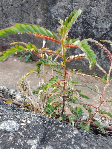
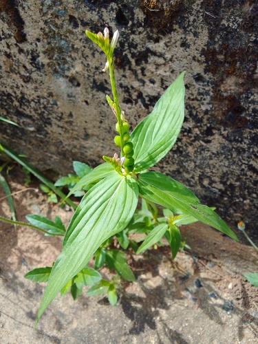
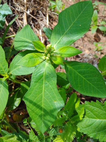
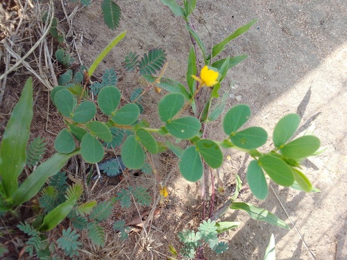

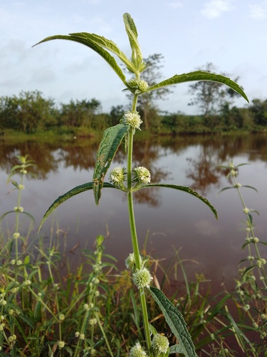
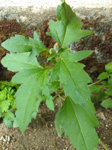
Research-grade observations from iNaturalist (within ~15 mi).
Events
Gallery
Sources
- • Wikipedia
- • Wikidata
- • iNaturalist
- • Open-Meteo / sunrise-sunset.org
- • Wikipedia Pageviews API
- • Open Library