Browse / United States / New Hampshire / Hampton Beach
Hampton Beach
New HampshireCDP

Hampton Beach
Total population
2,605
Median home value
$508,900
Bachelor's+
Median income
$82,557
Air quality index
Demographic figures from US Census Bureau · ACS 5-year estimates. Overview below cites Wikipedia and may reference a different year.
- Coastal Flood Advisory · MinorCoastal Flood Advisory issued September 27 at 7:48PM EDT until September 28 at 3:00AM EDT by NWS Gray ME
- High Surf Advisory · MinorHigh Surf Advisory issued September 27 at 7:48PM EDT until September 28 at 6:00PM EDT by NWS Gray ME
Source: NOAA National Weather Service.
City facts
Facts from Wikidata (CC0).
Overview
Hampton Beach is a village district, census-designated place, and beach resort in the town of Hampton, New Hampshire, United States, along the Atlantic Ocean. Its population at the 2020 census was 2,598. Hampton Beach is in Rockingham County, approximately 15 miles (24 km) south of Portsmouth. The community is a popular tourist destination and the busiest beach community in New Hampshire. Ocean Boulevard, the main street along the beach, includes a boardwalk, many shops and businesses, several seasonal hotels, and the Hampton Beach Casino Ballroom, which hosts national acts in the summer. Hampton Beach State Park was named one of four "Superstar" beaches in the United States in 2011, for having had perfect water-quality testing results in each of the previous three years.
Read more on WikipediaHistory & geography
History
The Hampton Beach Village District was established on June 26, 1907, to provide electric power and water to the summer tourist community. In 1923, the village's first fire station was built, after two fires destroyed a large section of the beach settlement in 1919 and 1922. The original fire station was razed and replaced in 2014. On February 26, 2010, a windstorm-fueled fire burned down all the buildings in a block at Hampton Beach, including the Surf Hotel, Happy Hampton Arcade, and Mrs. Mitchell's Gift Shop. The fire started in the Surf Hotel and was spread to the other buildings by high winds. The cause of this fire is unknown. The area has been rebuilt, with a larger hotel and a new Mrs. Mitchell's. On July 29, 2023, a single-engine Piper PA-18 crashed off the shore of the beach. Only one person was aboard the aircraft at the time and was not injured.
Geography
Most of the resort village lies on a barrier spit separated from the mainland by a large estuary system known as Hampton Harbor. The estuary serves as the mouth of several rivers, the largest being the Hampton River from the northwest. New Hampshire Route 1A serves as the main north-south route through the beach area, connecting the village to Seabrook Beach to the south (across the Hampton Bridge traversing the Hampton Harbor Inlet) and Little Boar's Head in North Hampton to the north. Access from the west is provided by three roads: New Hampshire Route 101 is the main access point to the densely populated southern resort area from most points west, while Winnacunnet Road (officially New Hampshire Route 101E) provides access to the less developed areas in the northern part of the village near a large salt marsh conservation area. Winnacunnet Road marks the northern edge of the census-designated place, but New Hampshire Route 27, known locally as High Street, marks the northern edge of the resort area. The heaviest development lies south of the Ashworth-by-the-Sea hotel, located at the eastern terminus of NH 101 where it meets NH 1A, known locally as Ocean Boulevard. From this point south, NH 1A splits into two one-way streets: the southbound Ashworth Avenue, and the northbound Ocean Boulevard. Cross streets through this area run from A Street in the north to M Street in the south. The southern end of the spit is mostly state park, with little to no buildings or development. North of the junction of 101 and 1A, the area is much less developed, dominated mostly by a large salt marsh conservation area, with small businesses and bungalows along Ocean Boulevard (NH 1A). North of Winnacunnet Road (and outside the CDP), a second area of heavier development begins with Kings…
Excerpted from the corresponding Wikipedia article (CC BY-SA).
Demographics & economy
Race & ethnicity
Source: US Census Bureau — American Community Survey, 5-year estimates.
Geography
Coordinates & boundaries from the US Census TIGER/Line shapefiles.
Climate
Current forecast
Forecast for Hampton Beach, NH from NOAA NWS API.
Air quality
Current readings from Open-Meteo Air Quality API (Copernicus CAMS European reanalysis).
Industrial & pollution facilities
Natural hazard risk
Health (adults)
Age-adjusted prevalence estimates from CDC PLACES (latest release).
Walkability
Amenities nearby
Wildlife & biodiversity
Most-observed species
- American herring gull, Smithsonian GullLarus smithsonianus Coues, 1862 · Aves35,269
- Song SparrowMelospiza melodia (A.Wilson, 1810) · Aves30,812
- American RobinTurdus migratorius Linnaeus, 1766 · Aves23,268
- American CrowCorvus brachyrhynchos C.L.Brehm, 1822 · Aves22,918
- Canada Goose (canadensis Group)Branta canadensis (Linnaeus, 1758) · Aves22,873
- Black-capped ChickadeePoecile atricapillus (Linnaeus, 1766) · Aves22,501
- American GoldfinchSpinus tristis (Linnaeus, 1758) · Aves22,224
- Northern CardinalCardinalis cardinalis (Linnaeus, 1758) · Aves21,894
Citizen-science & research observations from the Global Biodiversity Information Facility (GBIF).
Schools
Earthquake history
Most recent
- M 3.8 — 2025-01-279 km SE of York Harbor, Maine
- M 2.7 — 2023-12-235 km SW of Chichester, New Hampshire
- M 2.6 — 2021-12-0738 km SE of Old Orchard Beach, Maine
- M 2.7 — 2020-03-0950 km ESE of Old Orchard Beach, Maine
- M 2.7 — 2018-02-150 km SE of East Kingston, New Hampshire
- M 2.8 — 2016-03-214 km ESE of Warner, New Hampshire
Events from the USGS Earthquake Catalog (global) (FDSN Event Web Service).
Photos
Sights & places nearby
Notable people from here


People born within ~10 km, from Wikidata (CC0). Click any name for their Wikipedia article.
Nearby places in New Hampshire
- Hampton2.2 mi away
- Seabrook Beach2.4 mi away
- Exeter8 mi away
- Portsmouth10.3 mi away · pop. 21,956
- Newfields10.6 mi away · pop. 294
- Newmarket12.9 mi away · pop. 5,679
- Epping16.7 mi away
- Durham16.8 mi away
- Dover19.2 mi away · pop. 33,364
- Raymond20.2 mi away · pop. 3,645
- Somersworth23.8 mi away · pop. 12,111
- Derry23.9 mi away · pop. 21,339
Geography & sun
Elevation, sunrise/sunset and daylight from Open-Meteo. Solar climatology from NASA POWER.
Nearby airports
Public attention
Pageview totals from the Wikimedia Pageviews API.
Books about Hampton Beach


Search results from Open Library.
Recent natural events nearby
Ground air-quality sensors
Recently spotted species
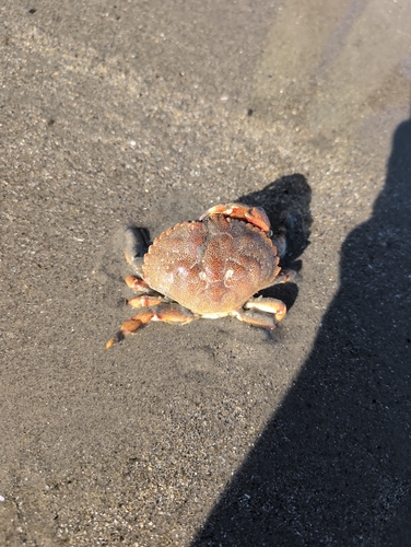
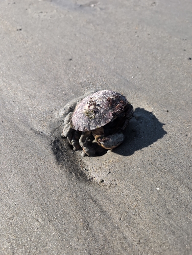

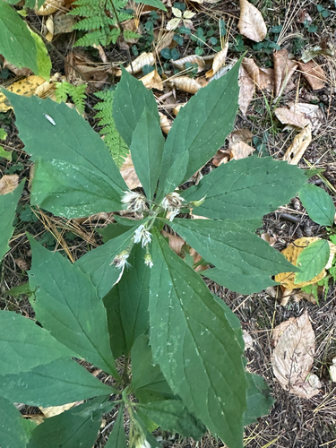
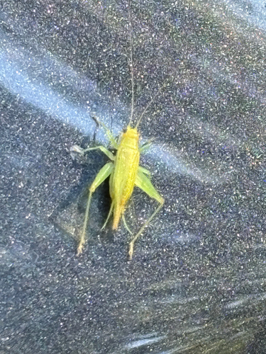
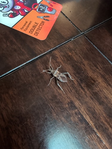


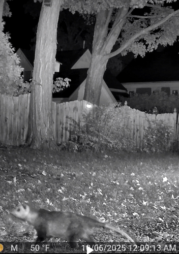
Research-grade observations from iNaturalist (within ~15 mi).
Nearest stream gauge
Live readings from USGS NWIS · measured 2026-10-07 20:30 UTC.
Events
Gallery
Sources
- • Wikipedia
- • US Census Bureau (ACS 5-year estimates)
- • NOAA National Weather Service
- • Wikidata
- • Open-Meteo Air Quality (CAMS)
- • USGS Earthquake Catalog (global feed)
- • USGS NWIS (water data)
- • GBIF (Global Biodiversity Information Facility)
- • iNaturalist
- • CDC PLACES
- • Open-Meteo / sunrise-sunset.org
- • Wikipedia Pageviews API
- • Open Library