Browse / United States / New Hampshire / Raymond
Raymond
New HampshireCDP
Total population
3,645
Median home value
$314,900
Bachelor's+
Median income
$73,066
Demographic figures from US Census Bureau · ACS 5-year estimates. Overview below cites Wikipedia and may reference a different year.
City facts
Overview
Situated in New Hampshire, United States, Raymond is a census-designated community. Its coordinates of 43.036°, -71.175° place it in the temperate zone of the northern hemisphere. Public datasets list a population of roughly 3,645. Climatically, locations at this latitude tend to experience four distinct seasons with warm summers and cold winters. Solar-resource estimates put the area at about 1,353 kWh/m² of solar irradiance per year with sunshine for roughly 53% of daylight hours. Population density therefore averages about 217 per km², loosely populated. The administrative footprint covers about 16.8 km². The remainder of this page draws on open public data to describe the area's demographics, climate, environment and nearby amenities.
Summary composed automatically from structured open data on this page. See our Terms for details.
History & geography
Demographics & economy
Race & ethnicity
Source: US Census Bureau — American Community Survey, 5-year estimates.
Geography
Coordinates & boundaries from the US Census TIGER/Line shapefiles.
Climate
Current forecast
Forecast for Raymond, NH from NOAA NWS API.
Air quality
Industrial & pollution facilities
Natural hazard risk
Health (adults)
Age-adjusted prevalence estimates from CDC PLACES (latest release).
Walkability
Amenities nearby
Wildlife & biodiversity
Most-observed species
- Black-capped ChickadeePoecile atricapillus (Linnaeus, 1766) · Aves13,204
- American GoldfinchSpinus tristis (Linnaeus, 1758) · Aves11,579
- Tufted TitmouseBaeolophus bicolor (Linnaeus, 1766) · Aves11,540
- Blue JayCyanocitta cristata (Linnaeus, 1758) · Aves11,437
- Northern CardinalCardinalis cardinalis (Linnaeus, 1758) · Aves11,281
- Downy WoodpeckerDryobates pubescens (Linnaeus, 1766) · Aves9,578
- American RobinTurdus migratorius Linnaeus, 1766 · Aves9,558
- Mourning DoveZenaida macroura (Linnaeus, 1758) · Aves9,196
Citizen-science & research observations from the Global Biodiversity Information Facility (GBIF).
Schools
Largest nearby schools
- Exeter High SchoolHigh · Exeter · 1,447 students · 13.9:1 ratio
- Auburn Village SchoolElementary · Auburn · 654 students · 13.9:1 ratio
- Deerfield Community SchoolElementary · Deerfield · 528 students · 11.7:1 ratio
- Sanborn Regional High SchoolHigh · Kingston · 527 students · 11.7:1 ratio
- Nottingham Elementary SchoolElementary · Nottingham · 505 students · 15.8:1 ratio
- Chester AcademyElementary · Chester · 502 students · 10.9:1 ratio
- Epping Elementary SchoolElementary · Epping · 456 students · 10.6:1 ratio
- Iber Holmes Gove Middle SchoolMiddle · Raymond · 416 students · 13:1 ratio
Public K–12 schools within ~10 mi from Urban Institute Education Data Portal (NCES Common Core of Data, 2022).
Earthquake history
Most recent
- M 3.8 — 2025-01-279 km SE of York Harbor, Maine
- M 2.7 — 2023-12-235 km SW of Chichester, New Hampshire
- M 2.9 — 2023-04-254 km SW of Center Sandwich, New Hampshire
- M 2.6 — 2021-12-0738 km SE of Old Orchard Beach, Maine
- M 2.7 — 2018-02-150 km SE of East Kingston, New Hampshire
- M 2.8 — 2016-03-214 km ESE of Warner, New Hampshire
Events from the USGS Earthquake Catalog (global) (FDSN Event Web Service).
Photos
Sights & places nearby
Notable people from here
Nearby places in New Hampshire
Geography & sun
Elevation, sunrise/sunset and daylight from Open-Meteo. Solar climatology from NASA POWER.
Nearby airports
Public attention
Pageview totals from the Wikimedia Pageviews API.
Books about Raymond
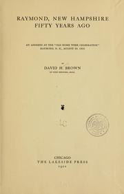
Search results from Open Library.
Recent natural events nearby
Ground air-quality sensors
Recently spotted species
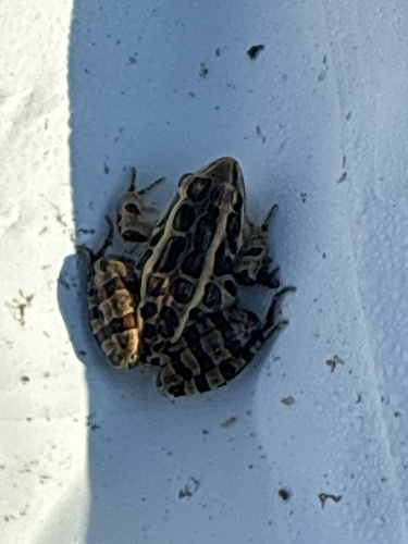
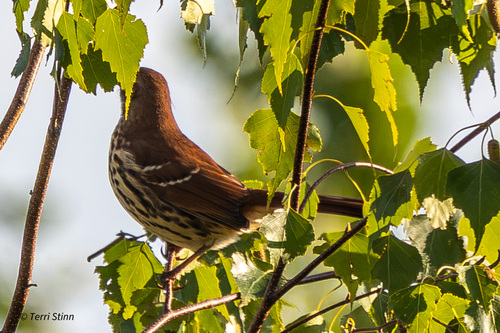
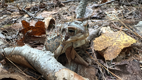
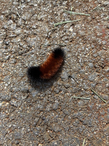
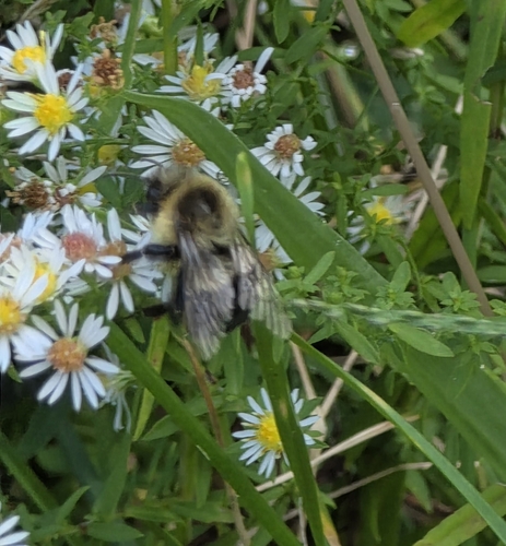
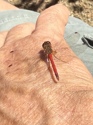
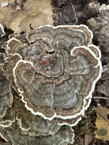
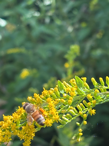
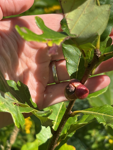
Research-grade observations from iNaturalist (within ~15 mi).
Nearest stream gauge
Events
Gallery
Sources
- • US Census Bureau (ACS 5-year estimates)
- • NOAA National Weather Service
- • USGS Earthquake Catalog (global feed)
- • NCES via Urban Institute Education Data Portal
- • GBIF (Global Biodiversity Information Facility)
- • iNaturalist
- • CDC PLACES
- • Open-Meteo / sunrise-sunset.org
- • Wikipedia Pageviews API
- • Open Library