Browse / United States / New Hampshire / Manchester
Manchester
New Hampshirecity

Manchester
Total population
116,381
Median home value
$413,800
Bachelor's+
Median income
$88,821
Founded
1722
Demographic figures from US Census Bureau · ACS 5-year estimates. Overview below cites Wikipedia and may reference a different year.
City facts
Facts from Wikidata (CC0).
Overview
Manchester is the most populous city in the U.S. state of New Hampshire. Located on the banks of the Merrimack River, it had a population of 115,644 at the 2020 census. Manchester is the tenth-most populous city in New England. Along with the city of Nashua, it is one of two seats of New Hampshire's most populous county, Hillsborough County. The Manchester–Nashua metropolitan area has approximately 423,000 residents and lies near the northern end of the Northeast megalopolis.
Read more on WikipediaHistory & geography
History
The native Pennacook people called Amoskeag Falls on the Merrimack River—the area that became the heart of Manchester—Namaoskeag, meaning "good fishing place". In 1722, John Goffe III settled beside Cohas Brook, later building a dam and sawmill at what was dubbed "Old Harry's Town". It was granted by Massachusetts in 1727 as "Tyngstown" to veterans of Queen Anne's War who served in 1703 under Captain William Tyng. But at New Hampshire's 1741 separation from Massachusetts, the grant was ruled invalid and substituted with Wilton, Maine, resulting in a 1751 rechartering by Governor Benning Wentworth as "Derryfield"—a name that lives on in Derryfield Park, Derryfield Country Club, and the private Derryfield School. In 1809, Benjamin Prichard and others built a water-powered cotton spinning mill on the western bank of the Merrimack. Apparently following Blodgett's suggestion, Derryfield was renamed "Manchester" in 1810, the year the mill was incorporated as the Amoskeag Cotton & Woolen Manufacturing Company. It would be purchased in 1825 by entrepreneurs from Massachusetts, expanded to three mills in 1826, and then incorporated in 1831 as the Amoskeag Manufacturing Company. Throughout the late 19th century and the early 20th century, the city began to expand outward, and many streetcar suburbs such as Mast Road were built. Manchester was formerly home to a streetcar network, the Manchester Street Railway. The streetcar network was replaced with a bus network in the 1940s. In 1922, 17,000 workers from two of the city's largest companies (Amoskeag and Stark Manufacturing Companies) went on strike for a period of nine months. After the strike, the textile industry began a slow decline, with the Great Depression hitting the city particularly hard. The Amoskeag Manufacturing…
Geography
Manchester is in south-central New Hampshire, south of Concord, the state capital, and the same distance north of Nashua, the second-largest city in the state. Manchester is north-northwest of Boston, the largest city in New England. According to the United States Census Bureau, the city has a total area of , of which are land and are water, comprising 5.33% of the city. Manchester is drained by the Merrimack River and its tributaries the Piscataquog River and Cohas Brook. Massabesic Lake is on the eastern border. The highest point in Manchester is atop Wellington Hill, where the elevation reaches above sea level. The Manchester Planning Board, in its 2010 Master Plan, defines 25 neighborhoods within the city. LivableMHT has drawn maps of the neighborhoods and neighborhood village centers as defined by the city. Recognition of particular neighborhoods varies, with some having neighborhood associations, but none have any legal or political authority. The major neighborhoods, historically, include Amoskeag, Rimmon Heights, Notre Dame/McGregorville and Piscataquog/Granite Square, also known as "Piscat", on the West Side; the North End, Janeville/Corey Square, Hallsville and Bakersville on the East Side; and Youngsville and Goffes Falls on the periphery of the city. In 2007, the city began a Neighborhood Initiatives program to "insure that our neighborhoods are vibrant, livable areas since these are the portions of the city where most of the residents spend their time living, playing, shopping and going to school." The purpose of this initiative is to foster vibrancy and redevelopment in the neighborhoods, and to restore the sense of neighborhood communities that had been overlooked in the city for some time. The city began the program with street-scape and…
Excerpted from the corresponding Wikipedia article (CC BY-SA).
Demographics & economy
Race & ethnicity
Source: US Census Bureau — American Community Survey, 5-year estimates.
Geography
Coordinates & boundaries from the US Census TIGER/Line shapefiles.
Climate
Current forecast
Forecast for Manchester, NH from NOAA NWS API.
Air quality
Industrial & pollution facilities
Natural hazard risk
Health (adults)
Age-adjusted prevalence estimates from CDC PLACES (latest release).
Walkability
Amenities nearby
Wildlife & biodiversity
Most-observed species
- Black-capped ChickadeePoecile atricapillus (Linnaeus, 1766) · Aves10,336
- Blue JayCyanocitta cristata (Linnaeus, 1758) · Aves9,059
- Tufted TitmouseBaeolophus bicolor (Linnaeus, 1766) · Aves8,731
- Northern CardinalCardinalis cardinalis (Linnaeus, 1758) · Aves8,473
- American RobinTurdus migratorius Linnaeus, 1766 · Aves7,630
- Mourning DoveZenaida macroura (Linnaeus, 1758) · Aves7,445
- American GoldfinchSpinus tristis (Linnaeus, 1758) · Aves7,421
- Downy WoodpeckerDryobates pubescens (Linnaeus, 1766) · Aves7,060
Citizen-science & research observations from the Global Biodiversity Information Facility (GBIF).
Schools
Largest nearby schools
- Manchester Memorial High SchoolHigh · Manchester · 1,405 students · 15.4:1 ratio
- Bedford High SchoolHigh · Bedford · 1,391 students · 13.1:1 ratio
- Manchester Central High SchoolHigh · Manchester · 1,168 students · 13.4:1 ratio
- Merrimack High SchoolHigh · Merrimack · 1,113 students · 11.7:1 ratio
- Goffstown High SchoolHigh · Goffstown · 1,033 students · 11.7:1 ratio
- Middle School At ParksideMiddle · Manchester · 858 students · 10.6:1 ratio
- Mountain View Middle SchoolMiddle · Goffstown · 829 students · 11.5:1 ratio
- Manchester West High SchoolHigh · Manchester · 772 students · 13.1:1 ratio
Public K–12 schools within ~10 mi from Urban Institute Education Data Portal (NCES Common Core of Data, 2022).
Earthquake history
Most recent
- M 3.8 — 2025-01-279 km SE of York Harbor, Maine
- M 2.7 — 2023-12-235 km SW of Chichester, New Hampshire
- M 2.9 — 2023-04-254 km SW of Center Sandwich, New Hampshire
- M 2.7 — 2018-02-150 km SE of East Kingston, New Hampshire
- M 2.8 — 2016-03-214 km ESE of Warner, New Hampshire
- M 2.61 — 2013-10-11New Hampshire
Events from the USGS Earthquake Catalog (global) (FDSN Event Web Service).
Photos
Sights & places nearby
Notable people from here


People born within ~10 km, from Wikidata (CC0). Click any name for their Wikipedia article.
Nearby places in New Hampshire
- South Hooksett3.1 mi away · pop. 5,902
- Pinardville3.7 mi away · pop. 4,418
- Hooksett7.5 mi away
- East Merrimack8 mi away
- Goffstown8.2 mi away · pop. 3,490
- Klondike Corner9.9 mi away
- Londonderry10 mi away
- Suncook10.4 mi away · pop. 5,432
- Derry10.6 mi away · pop. 21,339
- Amherst12.4 mi away · pop. 726
- New Boston12.6 mi away · pop. 245
- Raymond14 mi away · pop. 3,645
Geography & sun
Elevation, sunrise/sunset and daylight from Open-Meteo. Solar climatology from NASA POWER.
Nearby airports
Public attention
Pageview totals from the Wikimedia Pageviews API.
Books about Manchester
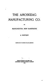

Search results from Open Library.
Recent natural events nearby
Ground air-quality sensors
Recently spotted species
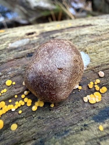
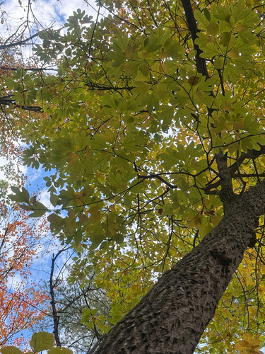
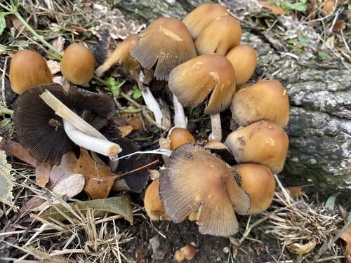
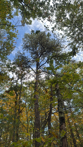
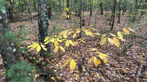

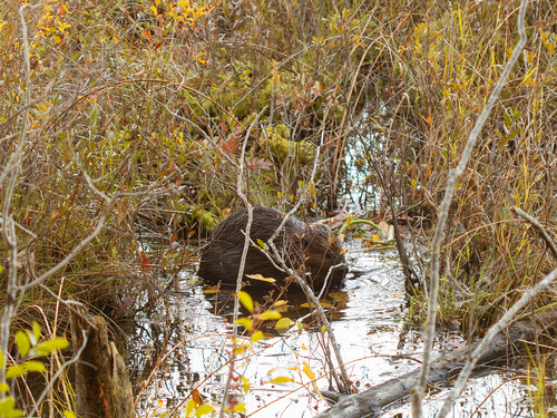

Research-grade observations from iNaturalist (within ~15 mi).
Nearest stream gauge
Events
Gallery
Sources
- • Wikipedia
- • US Census Bureau (ACS 5-year estimates)
- • NOAA National Weather Service
- • Wikidata
- • USGS Earthquake Catalog (global feed)
- • NCES via Urban Institute Education Data Portal
- • GBIF (Global Biodiversity Information Facility)
- • iNaturalist
- • CDC PLACES
- • Open-Meteo / sunrise-sunset.org
- • Wikipedia Pageviews API
- • Open Library