Browse / United States / New Hampshire / Amherst
Amherst
New HampshireCDP

Amherst
Total population
726
Median home value
$544,600
Bachelor's+
Median income
$154,286
Founded
1760
Demographic figures from US Census Bureau · ACS 5-year estimates. Overview below cites Wikipedia and may reference a different year.
City facts
Facts from Wikidata (CC0).
Overview
Amherst is a town in Hillsborough County in the state of New Hampshire, United States. The population was 11,753 at the 2020 census. Amherst is home to Ponemah Bog Wildlife Sanctuary, Hodgman State Forest, the Joe English Reservation and Baboosic Lake.
Read more on WikipediaHistory & geography
History
Like many towns in New England, Amherst was founded via a land grant issued to members of the colonial militia; the land grant which led to the town's foundation was issued in 1728 to veterans of King Philip's War. A colonial settlement was established at the land grant's location five years later in 1733, being initially named "Narragansett Number 3" and later "Souhegan Number 3". In 1741, the settlement's inhabitants established a Congregational church and hired a minister to preach in the settlement. On January 18, 1760, the settlement was chartered by the governor of New Hampshire Benning Wentworth, who renamed it after General Jeffery Amherst, who served as Commander-in-Chief, North America during the French and Indian War. Wentworth chartered Amherst as part of a wave of land grants he issued during the mid-18th century. In 1770, Amherst became the county seat of Hillsborough County, due largely to its location on the county's major east-west road. It continued to prosper through the Revolutionary War and afterwards. In 1790, the southwestern section broke off and became the town of Milford, and in 1803, the northwest section departed to become Mont Vernon. The development of water-powered mills allowed Milford to grow at Amherst's expense, and the county seat was moved to Milford in 1866. The town population remained relatively stagnant until after World War II, when Amherst and many surrounding towns saw an influx of newcomers as the town became part of the Greater Boston region. Franklin Pierce, who later become the 14th President of the United States studied under Judge Edmund Parker in Amherst. He wed Jane Means Appleton, the daughter of a former president of Bowdoin College, in a house on the town green. The Nashua and Wilton Railroad passed through…
Geography
According to the United States Census Bureau, the town has a total area of , of which are land and , or 1.49% of the total area, are water. The Souhegan River, an east-flowing tributary of the Merrimack, passes through the southern part of the town, and the Souhegan's tributary Beaver Brook drains the central part of town and passes through the main village. Baboosic Lake is farther north, along the eastern border of the town and is fed by Joe English Brook. The lake drains to the east into Baboosic Brook, a tributary of the Merrimack. Pulpit Brook, which drains the northeastern corner of the town, flows into Baboosic Brook as well. Witches Brook flows through the southernmost part of the town and is a tributary of Pennichuck Brook, yet another tributary of the Merrimack. Amherst's highest point is on Chestnut Hill at the town's northern border, where the elevation reaches above sea level. New Hampshire Route 101 crosses the town, leading northeast into Bedford and then to Manchester, and southwest into Milford. A spur, New Hampshire Route 101A, crosses the southern part of Amherst, connecting Milford to the west with Nashua to the southeast. New Hampshire Route 122 begins at Amherst village and leads south into Hollis. * Bedford, New Hampshire (northeast) * Merrimack, New Hampshire (east) * Hollis, New Hampshire (south) * Milford, New Hampshire (southwest) * Mont Vernon, New Hampshire (west) * New Boston, New Hampshire (northwest)
Excerpted from the corresponding Wikipedia article (CC BY-SA).
Demographics & economy
Race & ethnicity
Source: US Census Bureau — American Community Survey, 5-year estimates.
Geography
Coordinates & boundaries from the US Census TIGER/Line shapefiles.
Climate
Current forecast
Forecast for Amherst, NH from NOAA NWS API.
Air quality
Industrial & pollution facilities
Natural hazard risk
Health (adults)
Age-adjusted prevalence estimates from CDC PLACES (latest release).
Walkability
Amenities nearby
Wildlife & biodiversity
Most-observed species
- Black-capped ChickadeePoecile atricapillus (Linnaeus, 1766) · Aves11,808
- Blue JayCyanocitta cristata (Linnaeus, 1758) · Aves11,339
- Tufted TitmouseBaeolophus bicolor (Linnaeus, 1766) · Aves10,230
- Northern CardinalCardinalis cardinalis (Linnaeus, 1758) · Aves10,032
- Mourning DoveZenaida macroura (Linnaeus, 1758) · Aves9,450
- American GoldfinchSpinus tristis (Linnaeus, 1758) · Aves8,921
- American RobinTurdus migratorius Linnaeus, 1766 · Aves8,892
- Downy WoodpeckerDryobates pubescens (Linnaeus, 1766) · Aves7,962
Citizen-science & research observations from the Global Biodiversity Information Facility (GBIF).
Schools
Earthquake history
Most recent
- M 3.8 — 2025-01-279 km SE of York Harbor, Maine
- M 2.7 — 2023-12-235 km SW of Chichester, New Hampshire
- M 2.7 — 2018-02-150 km SE of East Kingston, New Hampshire
- M 2.8 — 2016-03-214 km ESE of Warner, New Hampshire
- M 2.61 — 2013-10-11New Hampshire
- M 3.15 — 2010-09-262 km SW of Canterbury, New Hampshire
Events from the USGS Earthquake Catalog (global) (FDSN Event Web Service).
Photos
Sights & places nearby
Notable people from here


People born within ~10 km, from Wikidata (CC0). Click any name for their Wikipedia article.
Nearby places in New Hampshire
- Milford3.5 mi away · pop. 8,956
- Wilton5.8 mi away · pop. 1,038
- Klondike Corner6.7 mi away
- East Merrimack7.3 mi away
- New Boston8.7 mi away · pop. 245
- Nashua10.4 mi away · pop. 91,850
- Greenville10.9 mi away
- Pinardville11 mi away · pop. 4,418
- Goffstown11.1 mi away · pop. 3,490
- Hudson11.9 mi away · pop. 7,469
- Manchester12.4 mi away · pop. 116,381
- Francestown13 mi away
Geography & sun
Elevation, sunrise/sunset and daylight from Open-Meteo. Solar climatology from NASA POWER.
Nearby airports
Public attention
Pageview totals from the Wikimedia Pageviews API.
Books about Amherst
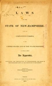
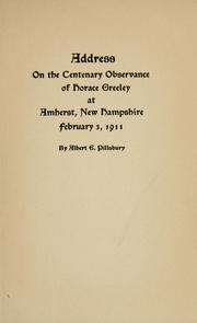
Search results from Open Library.
Recent natural events nearby
Ground air-quality sensors
Recently spotted species
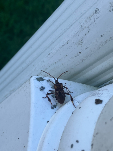
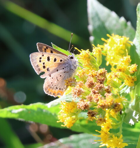
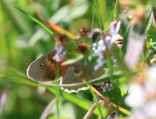
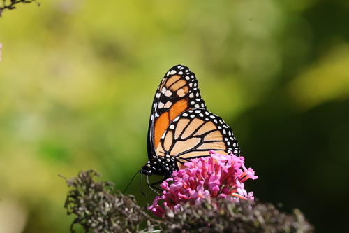
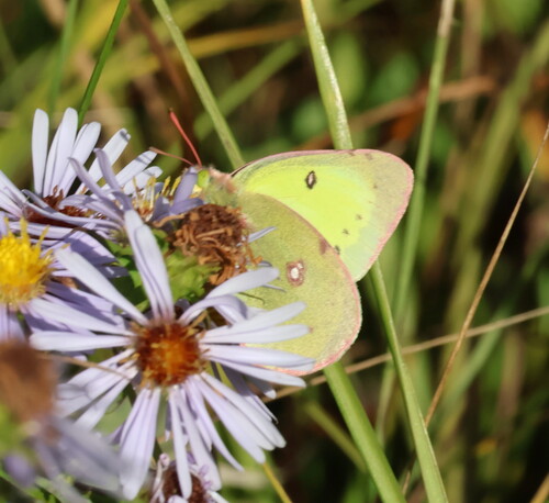
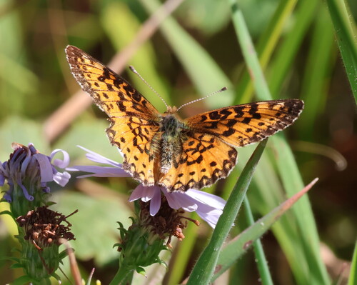
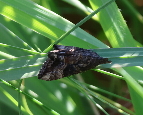
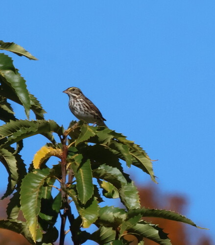
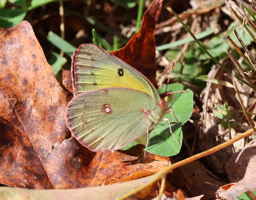
Research-grade observations from iNaturalist (within ~15 mi).
Nearest stream gauge
Events
Gallery
Sources
- • Wikipedia
- • US Census Bureau (ACS 5-year estimates)
- • NOAA National Weather Service
- • Wikidata
- • USGS Earthquake Catalog (global feed)
- • GBIF (Global Biodiversity Information Facility)
- • iNaturalist
- • CDC PLACES
- • Open-Meteo / sunrise-sunset.org
- • Wikipedia Pageviews API
- • Open Library