Browse / United States / New Hampshire / Wilton
Wilton
New HampshireCDP

Wilton
Total population
1,038
Median home value
$359,800
Bachelor's+
Median income
$84,342
Founded
1762
Air quality index
Demographic figures from US Census Bureau · ACS 5-year estimates. Overview below cites Wikipedia and may reference a different year.
City facts
Facts from Wikidata (CC0).
Overview
Wilton is a town in Hillsborough County, New Hampshire, United States. The population was 3,896 at the 2020 census. Like many small New England towns, it grew up around water-powered textile mills, but is now a rural bedroom community with some manufacturing and service employment. Wilton is home to the High Mowing School, a private preparatory school.
Read more on WikipediaHistory & geography
History
The town was first part of a township chartered as "Salem-Canada" in 1735 by Colonial Governor Jonathan Belcher of Massachusetts, which then claimed this area. It was granted to soldiers from Salem, Massachusetts, who had served in 1690 under Sir William Phips in the war against Canada. "Salem-Canada" was one of the towns on the state's borders intended to provide protection against Indian attack. The area was regranted in 1749 by New Hampshire colonial Governor Benning Wentworth as "Number Two", before being incorporated in 1762 as "Wilton". It was either named for Wilton in England, or for Sir Joseph Wilton, a famous English sculptor. Sir Wilton's coach design for King George III's coronation was later used as a model for the Concord coach. The town of Wilton, Maine, would later be named for Wilton, New Hampshire. The first Sunday school was established in May 1816, and was connected with the Congregational church of which the Rev. Thomas Beede was pastor. It was held in the Centre schoolhouse. Two women, Phebe Abbot, the mother of Prof. Ezra Abbot of Harvard University, and Sarah White Livermore, the hymnist, were leaders in this enterprise. This school was one of the first, if not the first, in the U.S. to be devoted especially and wholly to religious instruction. Seventy children attended the first season. The only book used was the Bible. The Souhegan River originally provided water power for mills. Today, Wilton is a rural town with orchards, farms and woodlands. File:Wilton, N.H. (2675840130).jpg|Wilton in 1880 File:wiltontownhall.jpg|Town Hall File:Wilton Woolen Company Mill, Wilton, NH.jpg|Wilton Woolen Co. mill in 1912 File:Livermore Bridge Wilton New Hampshire.jpg|Livermore Bridge over Blood Brook File:Aunt Mary Ann Cottage, Wilton, NH.jpg|Aunt Mary…
Geography
According to the United States Census Bureau, the town has a total area of , of which are land and , or 0.35%, is water. Wilton is drained by the Souhegan River and its tributaries, Stony Brook and Blood Brook. Via the Souhegan, the entire town is part of the Merrimack River watershed. The town's highest point is above sea level, where the east slope of Fisk Hill touches the town's western border. * Lyndeborough (north) * Milford (east) * Mason (south) * Greenville (southwest) * Temple (west)
Excerpted from the corresponding Wikipedia article (CC BY-SA).
Demographics & economy
Race & ethnicity
Source: US Census Bureau — American Community Survey, 5-year estimates.
Geography
Coordinates & boundaries from the US Census TIGER/Line shapefiles.
Climate
Current forecast
Forecast for Wilton, NH from NOAA NWS API.
Air quality
Current readings from Open-Meteo Air Quality API (Copernicus CAMS European reanalysis).
Industrial & pollution facilities
Natural hazard risk
Health (adults)
Age-adjusted prevalence estimates from CDC PLACES (latest release).
Walkability
Amenities nearby
Wildlife & biodiversity
Most-observed species
- Black-capped ChickadeePoecile atricapillus (Linnaeus, 1766) · Aves15,845
- Blue JayCyanocitta cristata (Linnaeus, 1758) · Aves13,260
- Tufted TitmouseBaeolophus bicolor (Linnaeus, 1766) · Aves11,857
- American GoldfinchSpinus tristis (Linnaeus, 1758) · Aves10,334
- Northern CardinalCardinalis cardinalis (Linnaeus, 1758) · Aves9,876
- American RobinTurdus migratorius Linnaeus, 1766 · Aves9,644
- Mourning DoveZenaida macroura (Linnaeus, 1758) · Aves8,767
- American CrowCorvus brachyrhynchos C.L.Brehm, 1822 · Aves8,656
Citizen-science & research observations from the Global Biodiversity Information Facility (GBIF).
Schools
Earthquake history
Most recent
- M 3.8 — 2025-01-279 km SE of York Harbor, Maine
- M 2.7 — 2023-12-235 km SW of Chichester, New Hampshire
- M 2.7 — 2018-02-150 km SE of East Kingston, New Hampshire
- M 2.8 — 2016-03-214 km ESE of Warner, New Hampshire
- M 2.61 — 2013-10-11New Hampshire
- M 3.15 — 2010-09-262 km SW of Canterbury, New Hampshire
Events from the USGS Earthquake Catalog (global) (FDSN Event Web Service).
Photos
Sights & places nearby
Notable people from here


People born within ~10 km, from Wikidata (CC0). Click any name for their Wikipedia article.
Nearby places in New Hampshire
- Milford3.1 mi away · pop. 8,956
- Amherst5.8 mi away · pop. 726
- Greenville6.1 mi away
- Klondike Corner9.3 mi away
- New Boston9.3 mi away · pop. 245
- Francestown10.6 mi away
- Peterborough11.6 mi away
- East Merrimack13 mi away
- Goffstown14 mi away · pop. 3,490
- Nashua14.2 mi away · pop. 91,322
- Bennington14.3 mi away · pop. 326
- Jaffrey14.8 mi away · pop. 3,277
Geography & sun
Elevation, sunrise/sunset and daylight from Open-Meteo. Solar climatology from NASA POWER.
Nearby airports
Public attention
Pageview totals from the Wikimedia Pageviews API.
Books about Wilton

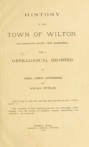
Search results from Open Library.
Recent natural events nearby
Ground air-quality sensors
Recently spotted species
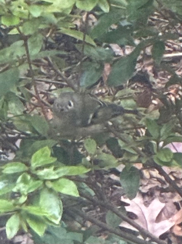
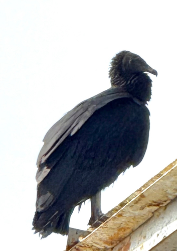
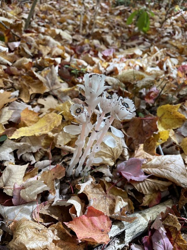
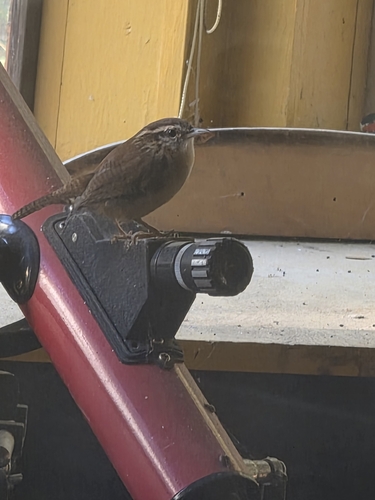
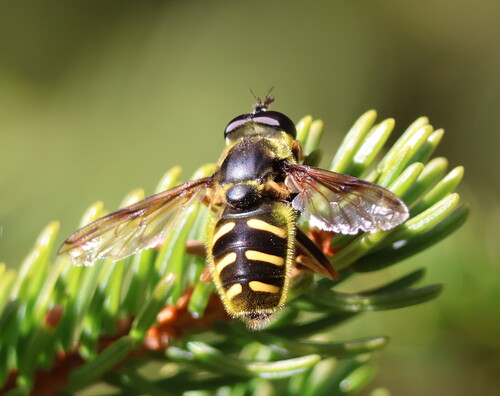
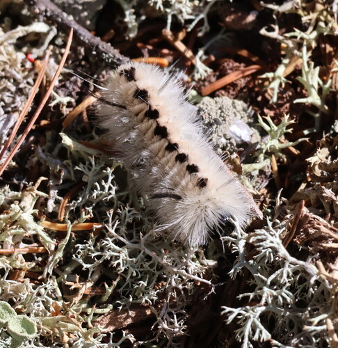
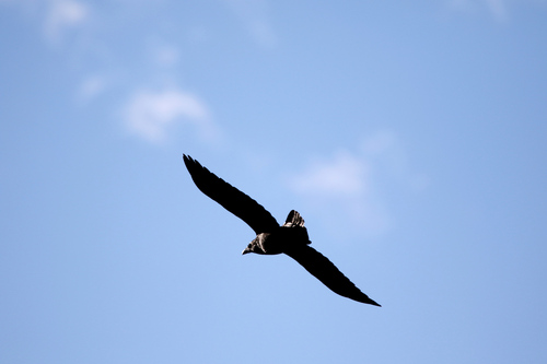
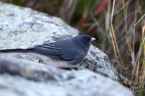
Research-grade observations from iNaturalist (within ~15 mi).
Nearest stream gauge
Events
Gallery
Sources
- • Wikipedia
- • US Census Bureau (ACS 5-year estimates)
- • NOAA National Weather Service
- • Wikidata
- • Open-Meteo Air Quality (CAMS)
- • USGS Earthquake Catalog (global feed)
- • GBIF (Global Biodiversity Information Facility)
- • iNaturalist
- • CDC PLACES
- • Open-Meteo / sunrise-sunset.org
- • Wikipedia Pageviews API
- • Open Library