Browse / United States / New Hampshire / Rochester
Rochester
New Hampshirecity

Rochester
Total population
33,144
Median home value
$279,100
Bachelor's+
Median income
$80,836
Founded
1749
Demographic figures from US Census Bureau · ACS 5-year estimates. Overview below cites Wikipedia and may reference a different year.
- Frost Advisory · MinorFrost Advisory issued October 6 at 1:12PM EDT until October 7 at 8:00AM EDT by NWS Gray ME
Source: NOAA National Weather Service.
City facts
Facts from Wikidata (CC0).
Overview
Rochester is a city in Strafford County, New Hampshire, United States. The population was 32,492 at the 2020 census, making it the 6th most populous city in New Hampshire. In addition to the downtown area, the city contains the villages of East Rochester, Gonic, and North Rochester. Skyhaven Airport and part of Baxter Lake are located in Rochester.
Read more on WikipediaHistory & geography
History
The town was one of four granted by colonial governor Samuel Shute of Massachusetts and New Hampshire during his brief term. The other three were Barrington, Nottingham, and Chester. Incorporated in 1722, it was named for his close friend, Laurence Hyde, 1st Earl of Rochester, brother-in-law to King James II. As was customary, tall white pine trees were reserved for use as masts by the Royal Navy. The same year the town was settled was the first year of Lovewell's War. There were no pitched battles in the town, but throughout the war, there were periodic ambushes of individual settlers. When the provincial assembly put a bounty on Indian scalps, the inhabitants of Rochester organized a militia led by Abraham Benwick to hunt down Indians. In 1737, the Reverend Amos Main became the first settled pastor of the Congregational Church, located on Rochester Hill. The building would be moved to Rochester Common, which then encompassed and was called "Norway Plain Mille Common" after its abundant Norway pines. At the time, the Common extended into what is now downtown Rochester. By 1738, the farming community contained 60 families. A statue of Parson Main, sculpted by Giuseppe Moretti, today presides over the town square. By 1780 the area surrounding the Common was the most thickly settled part of town, so a meeting house/church was erected on the east end of the Common with the entrance facing what is now South Main Street. A cemetery was also established near the new meeting house, but the ground was found to be too wet and the bodies were removed to the Old Rochester Cemetery. In 1842, the meeting house/church was moved to the present-day location at the corner of Liberty and South Main Streets. As the years went by, the size of the Common would shrink as more of it…
Geography
According to the United States Census Bureau, the city has a total area of , of which are land and are water, comprising 0.91% of the city. Rochester is drained by the Salmon Falls, Isinglass and Cochecho rivers. The highest point in Rochester is Chestnut Hill, occupying the northern corner of the city. New Hampshire Route 16 (the Spaulding Turnpike) is a six-lane controlled-access highway that passes through the city, leading north towards Conway and south to Dover and Portsmouth. U.S. Route 202 uses the turnpike to bypass the city center, then heads northeastward into Maine and southwestward towards Concord. New Hampshire Route 125 passes north–south through the center of town, leading south to Lee and Epping, and traveling north parallel to NH 16 into Milton. New Hampshire Route 11 leads west to Alton and Laconia and northeast along US 202 into Maine. New Hampshire Route 108 leads southeast to Dover, and New Hampshire Route 202A leads southwest to Strafford and Northwood. Besides the main downtown part of Rochester, there are two other named communities of significance within the city limits. East Rochester, a small neighborhood, is located near the northeastern border of the city along routes 202 and 11, next to the Salmon Falls River, while Gonic (from the Native American name Squanamagonic) is located south of downtown along NH 125 at a dam on the Cocheco River. * Lebanon, Maine (north) * Berwick, Maine (northeast) * Somersworth (east) * Dover (southeast) * Barrington (southwest) * Strafford (west) * Farmington (northwest) * Milton (north)
Excerpted from the corresponding Wikipedia article (CC BY-SA).
Demographics & economy
Race & ethnicity
Source: US Census Bureau — American Community Survey, 5-year estimates.
Geography
Coordinates & boundaries from the US Census TIGER/Line shapefiles.
Climate
Current forecast
Forecast for Rochester, NH from NOAA NWS API.
Air quality
Industrial & pollution facilities
Natural hazard risk
Health (adults)
Age-adjusted prevalence estimates from CDC PLACES (latest release).
Walkability
Amenities nearby
Wildlife & biodiversity
Most-observed species
- Black-capped ChickadeePoecile atricapillus (Linnaeus, 1766) · Aves21,782
- Northern CardinalCardinalis cardinalis (Linnaeus, 1758) · Aves15,875
- Downy WoodpeckerDryobates pubescens (Linnaeus, 1766) · Aves15,184
- American GoldfinchSpinus tristis (Linnaeus, 1758) · Aves13,796
- Tufted TitmouseBaeolophus bicolor (Linnaeus, 1766) · Aves13,496
- Mourning DoveZenaida macroura (Linnaeus, 1758) · Aves12,182
- American RobinTurdus migratorius Linnaeus, 1766 · Aves11,522
- White-breasted NuthatchSitta carolinensis Latham, 1790 · Aves11,248
Citizen-science & research observations from the Global Biodiversity Information Facility (GBIF).
Schools
Largest nearby schools
- Dover Senior High SchoolHigh · Dover · 1,505 students · 14.3:1 ratio
- Spaulding High SchoolHigh · Rochester · 1,301 students · 14:1 ratio
- Dover Middle SchoolMiddle · Dover · 1,018 students · 13.8:1 ratio
- Rochester Middle SchoolMiddle · Rochester · 847 students · 12.8:1 ratio
- Woodman Park SchoolElementary · Dover · 436 students · 11.5:1 ratio
- Barrington Elementary SchoolElementary · Barrington · 424 students · 12.8:1 ratio
- Strafford SchoolElementary · Strafford · 403 students · 10.9:1 ratio
- Somersworth High SchoolHigh · Somersworth · 394 students · 11.6:1 ratio
Public K–12 schools within ~10 mi from Urban Institute Education Data Portal (NCES Common Core of Data, 2022).
Earthquake history
Most recent
- M 3.8 — 2025-01-279 km SE of York Harbor, Maine
- M 2.7 — 2023-12-235 km SW of Chichester, New Hampshire
- M 2.9 — 2023-04-254 km SW of Center Sandwich, New Hampshire
- M 2.6 — 2021-12-0738 km SE of Old Orchard Beach, Maine
- M 2.7 — 2020-03-0950 km ESE of Old Orchard Beach, Maine
- M 2.7 — 2018-02-150 km SE of East Kingston, New Hampshire
Events from the USGS Earthquake Catalog (global) (FDSN Event Web Service).
Photos
Sights & places nearby
Notable people from here


People born within ~10 km, from Wikidata (CC0). Click any name for their Wikipedia article.
Nearby places in New Hampshire
- Somersworth5.5 mi away · pop. 12,111
- Milton7.3 mi away · pop. 356
- Farmington8.5 mi away
- Dover9.1 mi away · pop. 33,364
- Durham11.1 mi away
- Union13.5 mi away · pop. 131
- Milton Mills14.4 mi away · pop. 72
- Newmarket15.5 mi away · pop. 5,679
- Alton16.5 mi away · pop. 281
- Sanbornville17.7 mi away
- Pittsfield17.8 mi away
- Newfields18.3 mi away · pop. 294
Geography & sun
Elevation, sunrise/sunset and daylight from Open-Meteo. Solar climatology from NASA POWER.
Nearby airports
Public attention
Pageview totals from the Wikimedia Pageviews API.
Books about Rochester


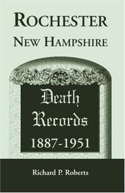
![Rochester [New Hampshire] directory, 1893](https://covers.openlibrary.org/b/id/7328858-M.jpg)
Search results from Open Library.
Recent natural events nearby
Ground air-quality sensors
Recently spotted species
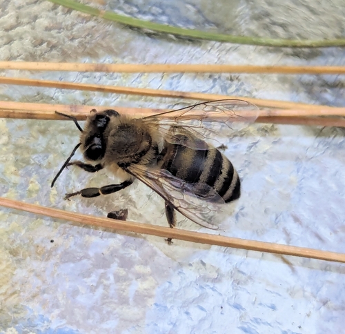
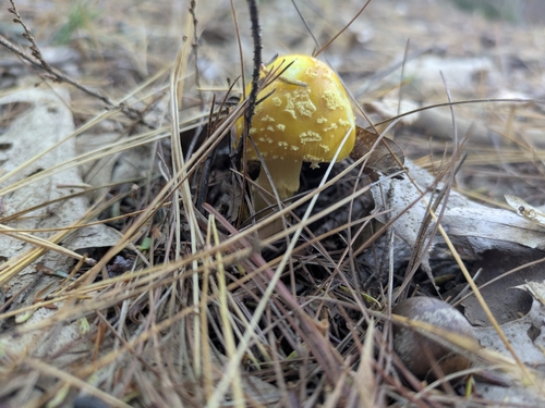

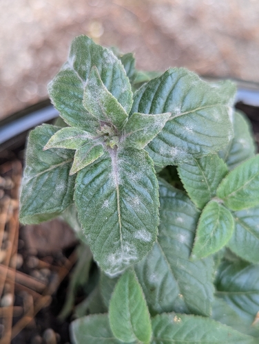
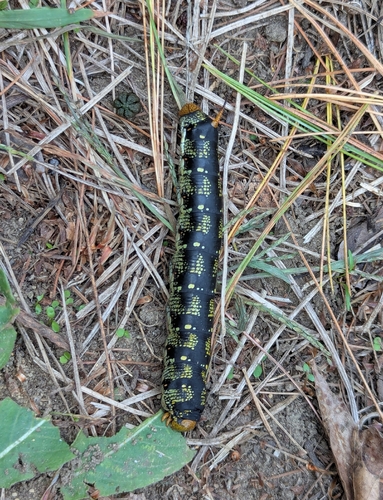

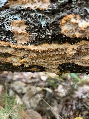
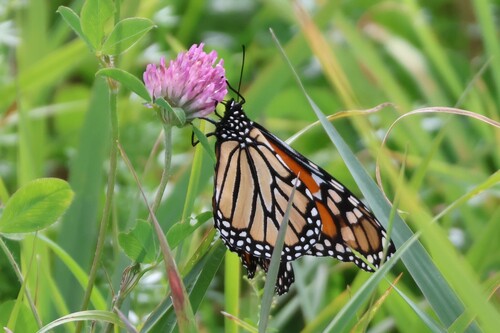
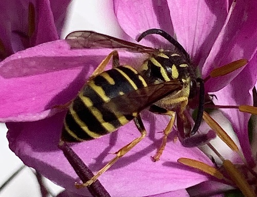
Research-grade observations from iNaturalist (within ~15 mi).
Nearest stream gauge
Events
Gallery
Sources
- • Wikipedia
- • US Census Bureau (ACS 5-year estimates)
- • NOAA National Weather Service
- • Wikidata
- • USGS Earthquake Catalog (global feed)
- • NCES via Urban Institute Education Data Portal
- • GBIF (Global Biodiversity Information Facility)
- • iNaturalist
- • CDC PLACES
- • Open-Meteo / sunrise-sunset.org
- • Wikipedia Pageviews API
- • Open Library