Browse / United States / New Jersey / Elizabeth
Elizabeth
New Jerseycity

Elizabeth
Total population
140,401
Median home value
$518,100
Bachelor's+
Median income
$62,114
Founded
1665
Demographic figures from US Census Bureau · ACS 5-year estimates. Overview below cites Wikipedia and may reference a different year.
- Severe Thunderstorm Watch · SevereSevere Thunderstorm Watch issued October 16 at 4:02PM EDT until October 16 at 10:00PM EDT by NWS Upton NY
Source: NOAA National Weather Service.
City facts
Facts from Wikidata (CC0).
Overview
Elizabeth is a city in and the county seat of Union County, in the U.S. state of New Jersey. As of the 2020 United States census, the city retained its ranking as the state's fourth-most-populous city behind neighboring Newark, Jersey City and Paterson, with a population of 137,298, an increase of 12,329 (+9.9%) from the 2010 census count of 124,969, which in turn reflected an increase of 4,401 (3.7%) from the 120,568 counted in the 2000 census.
Read more on WikipediaHistory & geography
History
Elizabeth, originally called "Elizabethtown" and part of the Elizabethtown Tract, was founded in 1664 by English settlers. The town was not named for Queen Elizabeth I as many people may assume, but rather for Elizabeth, wife of Sir George Carteret, one of the two original Proprietors of the colony of New Jersey. She was the daughter of Philippe de Carteret II, 3rd Seigneur de Sark and Anne Dowse. The town served as the first capital of New Jersey. During the American Revolutionary War, Elizabethtown was continually attacked by British forces based on Manhattan and Staten Island, culminating in the Battle of Springfield which decisively defeated British attempts to gain New Jersey. After independence, it was from Elizabethtown that George Washington embarked by boat to Manhattan for his 1789 inauguration. There are numerous memorials and monuments of the American Revolution in Elizabeth. On March 13, 1855, the City of Elizabeth was created by an act of the New Jersey Legislature, combining and replacing both Elizabeth Borough (which dated back to 1740) and Elizabeth Township (which had been formed in 1693), subject to the results of a referendum held on March 27, 1855. On March 19, 1857, the city became part of the newly created Union County. Portions of the city were taken to form Linden Township on March 4, 1861. The first major industry, the Singer Sewing Machine Company came to Elizabeth and employed as many as 2,000 people. In 1895, it saw one of the first car companies, when Electric Carriage and Wagon Company was founded to manufacture the Electrobat, joined soon by another electric car builder, Andrew L. Riker. The Electric Boat Company got its start building submarines for the United States Navy in Elizabeth, beginning with the launch of USS Holland (SS-1)…
Geography
According to the U.S. Census Bureau, the city had a total area of 13.66 square miles (35.37 km2), including 12.32 square miles (31.91 km2) of land and 1.34 square miles (3.46 km2) of water (9.78%). The borders of Elizabeth, Bayonne and Staten Island meet at one point on Shooters Island, of which of the island is owned by Elizabeth, though the island is managed by the New York City Department of Parks and Recreation. The Elizabeth River is a waterway that courses through the city for and is largely channelized, before draining into the Arthur Kill.
Excerpted from the corresponding Wikipedia article (CC BY-SA).
Demographics & economy
Race & ethnicity
Source: US Census Bureau — American Community Survey, 5-year estimates.
Geography
Coordinates & boundaries from the US Census TIGER/Line shapefiles.
Climate
Current forecast
Forecast for Elizabeth, NJ from NOAA NWS API.
Air quality
Industrial & pollution facilities
Natural hazard risk
Health (adults)
Age-adjusted prevalence estimates from CDC PLACES (latest release).
Walkability
Amenities nearby
Wildlife & biodiversity
Most-observed species
- House SparrowPasser domesticus (Linnaeus, 1758) · Aves177,377
- American RobinTurdus migratorius Linnaeus, 1766 · Aves166,610
- European StarlingSturnus vulgaris Linnaeus, 1758 · Aves151,504
- Mourning DoveZenaida macroura (Linnaeus, 1758) · Aves145,573
- Northern CardinalCardinalis cardinalis (Linnaeus, 1758) · Aves145,411
- Blue JayCyanocitta cristata (Linnaeus, 1758) · Aves131,701
- Rock PigeonColumba livia J.F.Gmelin, 1789 · Aves129,149
- White-throated SparrowZonotrichia albicollis (J.F.Gmelin, 1789) · Aves118,602
Citizen-science & research observations from the Global Biodiversity Information Facility (GBIF).
Schools
Largest nearby schools
- Union High SchoolHigh · UNION · 2,308 students · 13.9:1 ratio
- Westfield Senior High SchoolHigh · Westfield · 1,818 students · 12.1:1 ratio
- Linden High SchoolHigh · Linden · 1,801 students · 12.9:1 ratio
- John E. Dwyer Technology AcademyHigh · Elizabeth · 1,443 students · 14.7:1 ratio
- Admiral William F. Halsey Jr. Health & Public Safety AcademyHigh · Elizabeth · 1,299 students · 15.7:1 ratio
- Elizabeth High School - Frank J Cicarell AcademyHigh · ELIZABETH · 1,281 students · 18.8:1 ratio
- Rahway High SchoolHigh · RAHWAY · 1,204 students · 12:1 ratio
- Terence C. Reilly School No 7Middle · ELIZABETH · 1,126 students · 14.4:1 ratio
Public K–12 schools within ~10 mi from Urban Institute Education Data Portal (NCES Common Core of Data, 2022).
Earthquake history
Photos
Sights & places nearby
Notable people from here


People born within ~10 km, from Wikidata (CC0). Click any name for their Wikipedia article.
Nearby places in New Jersey
- Kean University2.2 mi away · pop. 1,362
- Linden3.5 mi away · pop. 44,192
- Newark4.1 mi away · pop. 317,303
- Connecticut Farms4.5 mi away · pop. 516
- Kenilworth5 mi away · pop. 8,401
- Harrison5.7 mi away · pop. 20,369
- Vauxhall5.9 mi away · pop. 6,157
- Carteret6 mi away · pop. 25,496
- Rahway6.1 mi away · pop. 30,109
- Cranford6.1 mi away · pop. 1,937
- East Newark6.1 mi away · pop. 2,497
- East Orange6.9 mi away · pop. 71,844
Geography & sun
Elevation, sunrise/sunset and daylight from Open-Meteo. Solar climatology from NASA POWER.
Nearby airports
Public attention
Pageview totals from the Wikimedia Pageviews API.
Books about Elizabeth


Search results from Open Library.
Recent natural events nearby
Ground air-quality sensors
Recently spotted species
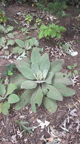
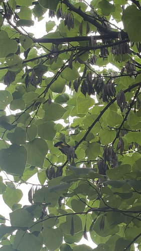
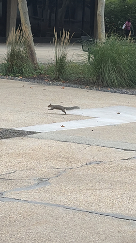
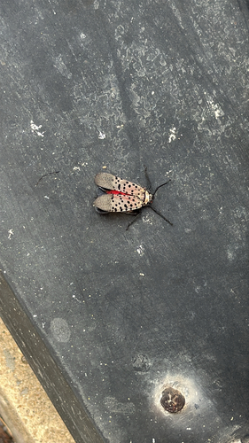
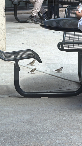
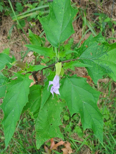
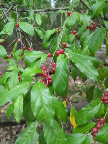
Research-grade observations from iNaturalist (within ~15 mi).
Nearest stream gauge
Live readings from USGS NWIS · measured 2026-10-16 16:40 UTC.
Events
Gallery
Sources
- • Wikipedia
- • US Census Bureau (ACS 5-year estimates)
- • NOAA National Weather Service
- • Wikidata
- • USGS NWIS (water data)
- • NCES via Urban Institute Education Data Portal
- • GBIF (Global Biodiversity Information Facility)
- • iNaturalist
- • CDC PLACES
- • Open-Meteo / sunrise-sunset.org
- • Wikipedia Pageviews API
- • Open Library