Browse / Netherlands / Utrecht / Bilthoven
Bilthoven
Utrechttown

Bilthoven
Total population
22,440
Demographic figures from CBS Netherlands. Overview below cites Wikipedia and may reference a different year.
City facts
Overview
Bilthoven is a village in the Dutch province of Utrecht. It is a part of the municipality of De Bilt. It has a railway station with connections to Utrecht, Amersfoort and Baarn. It is home to the Netherlands National Institute for Public Health and the Environment, RIVM; and to the Union Mundial pro Interlingua, UMI, which promotes Interlingua internationally.
Read more on WikipediaHistory & geography
History
The history of the town goes back to 20 August 1843, the day when the Utrecht-Amersfoort railway track began operating. A station was placed at the junction of the track line with the Soestdijkseweg. Initially, the Dutch railways did not plan a station on this spot. Around 1900, the first villas appeared round the new station. The train traffic to and from the new station increased strongly at the same time: in 1902, one could take the train in both directions 52 times per day. As a result of this rail connection with the city, and the fact that the land nearby was relatively cheap, the number of villas continued to increase rapidly. At this time the name of the town was still Bilt-station, but since it was not just a station anymore, the name was changed during a Council meeting on the 23 May 1917. Several names were presented, among which Bilt-Buiten, the Biltwijk and the Leyen. Eventually the name Biltsche Duinen was chosen. However, this name was not accepted by the Dutch railway company. For this reason, on 11 October 1917 another Council meeting was dedicated to the naming of the village. At this Council meeting several names were discussed, such as Leyenhoven, Bilt-Hoog and the Bilthof. The majority of the Council eventually agreed to the name of Bilthoven (which is the plural of Bilthof), which was suggested by Council member Melchior.
Excerpted from the corresponding Wikipedia article (CC BY-SA).
Geography
Coordinates & boundaries from the US Census TIGER/Line shapefiles.
Climate
Air quality
Walkability
Amenities nearby
Wildlife & biodiversity
Earthquake history
Photos
Sights & places nearby
Notable people from here


People born within ~10 km, from Wikidata (CC0). Click any name for their Wikipedia article.
Nearby places in Utrecht
- Bosch en Duin1.9 mi away · pop. 1,635
- Groenekan2.3 mi away · pop. 1,870
- Huis ter Heide2.5 mi away · pop. 2,610
- Hollandsche Rading3.6 mi away · pop. 1,592
- Lage Vuursche3.6 mi away · pop. 285
- Oud-Zuilen5.7 mi away · pop. 620
- Austerlitz5.9 mi away · pop. 1,475
- Tienhoven5.9 mi away · pop. 1,745
- Maarssen7 mi away · pop. 38,560
- De Meern7.9 mi away · pop. 21,316
- Amersfoort8.1 mi away · pop. 145,699
- Nieuwegein8.2 mi away · pop. 61,869
Geography & sun
Elevation, sunrise/sunset and daylight from Open-Meteo. Solar climatology from NASA POWER.
Nearby airports
Public attention
Pageview totals from the Wikimedia Pageviews API.
Books about Bilthoven
Search results from Open Library.
Recent natural events nearby
Ground air-quality sensors
Recently spotted species
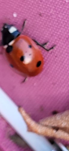
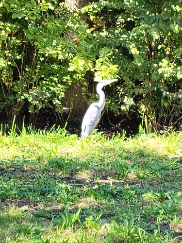
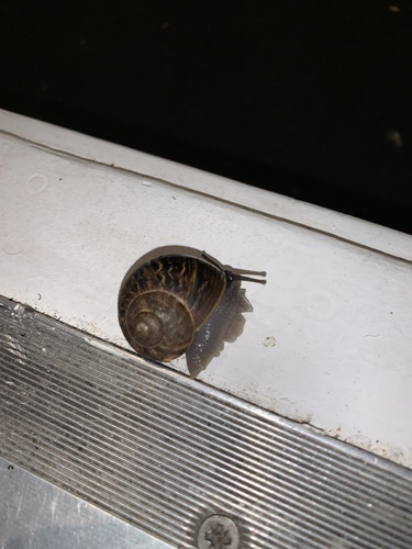
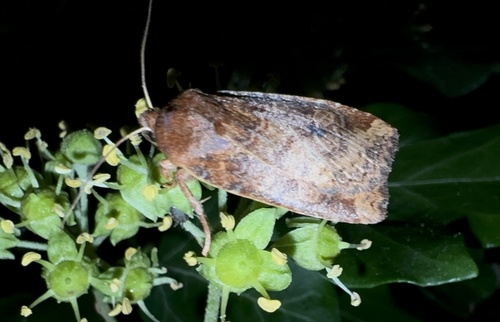
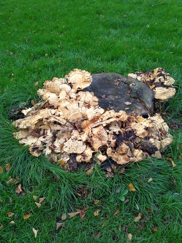
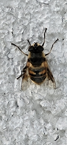
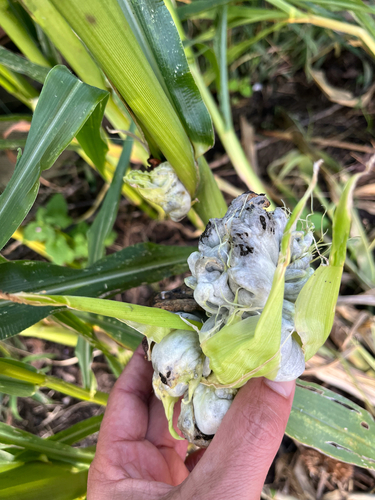
Research-grade observations from iNaturalist (within ~15 mi).
Events
Gallery
Sources
- • Wikipedia
- • Wikidata
- • iNaturalist
- • Open-Meteo / sunrise-sunset.org
- • Wikipedia Pageviews API
- • Open Library