Browse / Netherlands / Zeeland / Kruiningen
Kruiningen
Zeelandvillage

Kruiningen
Total population
4,501
Demographic figures from CBS Netherlands. Overview below cites Wikipedia and may reference a different year.
City facts
Facts from Wikidata (CC0).
Overview
Kruiningen is a village in the Dutch province of Zeeland. It is located in the municipality of Reimerswaal, about 5 km south of the village of Yerseke.
Read more on WikipediaHistory & geography
History
The place where Kruiningen was built, was one of the islands that later formed Zuid-Beveland. The area was diked by monks of the abbeys of Ten Duinen and Ter Doest. Kruiningen was hit hard during the Flood of 1953, 62 people died and the entire village came for six months under the influence of the tides. The Johanneskerk was rebuilt in the 15th and 16th century after a fire in the 14th century. In the church is the tomb of Arnoud van Cruningen (deceased in 1561), a gentleman from the Van Kruiningen family. The octagonal mill De Oude Molen was built in 1801.
Excerpted from the corresponding Wikipedia article (CC BY-SA).
Geography
Coordinates & boundaries from the US Census TIGER/Line shapefiles.
Climate
Air quality
Walkability
Amenities nearby
Wildlife & biodiversity
Most-observed species
- Eurasian MagpiePica pica (Linnaeus, 1758) · Aves11,520
- Common BuzzardButeo buteo (Linnaeus, 1758) · Aves11,441
- MallardAnas platyrhynchos Linnaeus, 1758 · Aves11,109
- Eurasian KestrelFalco tinnunculus Linnaeus, 1758 · Aves10,390
- Common Wood-PigeonColumba palumbus Linnaeus, 1758 · Aves9,749
- Eurasian BlackbirdTurdus merula Linnaeus, 1758 · Aves9,722
- Carrion CrowCorvus corone Linnaeus, 1758 · Aves9,498
- Eurasian CootFulica atra Linnaeus, 1758 · Aves9,326
Citizen-science & research observations from the Global Biodiversity Information Facility (GBIF).
Earthquake history
Most recent
- M 2.8 — 2008-12-201 km WSW of Louvain-la-Neuve, Belgium
- M 2.8 — 2008-09-121 km NNW of Court-Saint-Étienne, Belgium
- M 2.7 — 2008-08-091 km SW of Ottignies, Belgium
- M 2.6 — 2008-08-090 km NW of Ottignies, Belgium
- M 2.5 — 2008-08-081 km SSW of Ottignies, Belgium
- M 3.8 — 2008-07-130 km ESE of Court-Saint-Étienne, Belgium
Events from the USGS Earthquake Catalog (global) (FDSN Event Web Service).
Photos
Sights & places nearby
Notable people from here
Nearby places in Zeeland
- Hansweert1.3 mi away · pop. 1,641
- Schore1.8 mi away · pop. 476
- Oostdijk2 mi away · pop. 604
- Waarde2.5 mi away · pop. 1,404
- Yerseke3.1 mi away · pop. 7,165
- Krabbendijke3.6 mi away · pop. 4,368
- Biezelinge3.7 mi away · pop. 2,216
- Kapelle4.2 mi away · pop. 6,995
- Walsoorden4.6 mi away · pop. 170
- Ossenisse4.8 mi away · pop. 310
- Wemeldinge5.1 mi away · pop. 3,015
- Hoedekenskerke5.4 mi away · pop. 711
Geography & sun
Elevation, sunrise/sunset and daylight from Open-Meteo. Solar climatology from NASA POWER.
Nearby airports
Public attention
Pageview totals from the Wikimedia Pageviews API.
Books about this place
Recent natural events nearby
Ground air-quality sensors
Recently spotted species
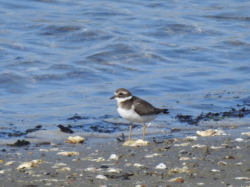
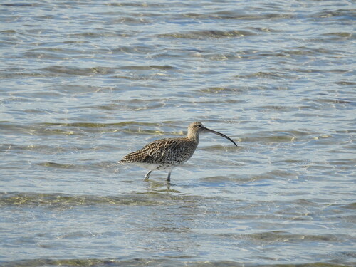
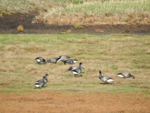
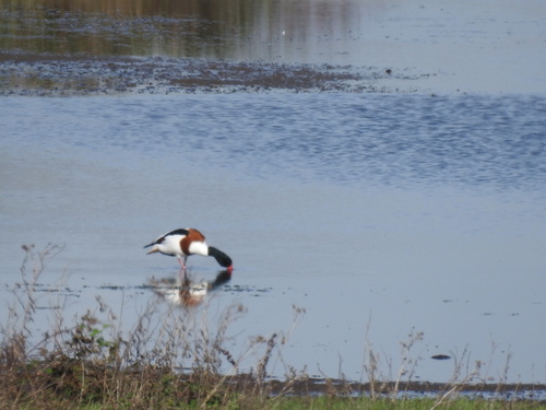
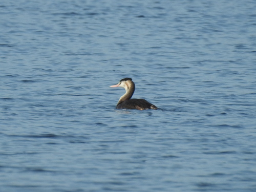
Research-grade observations from iNaturalist (within ~15 mi).
Events
Gallery
Official Identifiers
CBS — Statistics Netherlands
- CBS code
- 0685
- Population (Wikidata)
- 860
- Wikidata
- Q41023680
Gemeente codes via Wikidata P382
Sources
- • Wikipedia
- • Wikidata
- • USGS Earthquake Catalog (global feed)
- • GBIF (Global Biodiversity Information Facility)
- • iNaturalist
- • Open-Meteo / sunrise-sunset.org
- • Wikipedia Pageviews API
- • CBS — Statistics Netherlands, municipality code via Wikidata P382
- • CBS — Statistics Netherlands — Gemeente codes via Wikidata P382