Browse / Netherlands / Zeeland / Yerseke
Yerseke
Zeelandtown

Yerseke
Total population
7,165
Demographic figures from CBS Netherlands. Overview below cites Wikipedia and may reference a different year.
City facts
Facts from Wikidata (CC0).
Overview
Yerseke is a village situated on the southern shore of the Oosterschelde estuary in the Dutch province of Zeeland. A separate municipality until 1970, it today forms part of the municipality of Reimerswaal. As of 2010 Yerseke had a recorded population of 6,695 inhabitants, living in 2,680 households.
Read more on WikipediaHistory & geography
History
The site of Yerseke may have been inhabited for more than a millennium, and possibly since before the early Middle Ages. Skeletal remains found in 1923 during an archaeological dig were dated to the Carolingian period (7th to 9th centuries). However, the first historical mention of Yerseke most likely dates to a deed, or charter, issued on January 24, 966 CE under the name of 'Gersika' by the Holy Roman Emperor Otto I (the Great). The area was originally property of abbeys in Flanders. The town was founded on a ridge (like many settlements of that era) as dikes were only built in the 13th century by monks. The earliest inhabitants practiced sheep farming and later extracted peat from surrounding moors when dikes were constructed. Agriculture remained the primary activity of the town until the 16th century, when the Saint Felix flood inundated large parts of land around the now lost trading city of Reimerswaal to the east. As a result, Yerseke turned from a landlocked village into one located along the shore of the Eastern Scheldt, which would shape much of its future. While initially the economy of Yerseke remained little changed, fishing and aquaculture rapidly acquired greater importance, along with a concurrent population increase, beginning in the 19th century. The industry had its origins in the nearby hamlet Yersekendam that had a small harbour, and is now amalgamated with the town of Yerseke itself. During World War II the village suffered heavy damage. When Nazi Germany invaded in May 1940, many villagers evacuated due to anticipated fighting along the defensive Zanddijk line, stretching from the village southwards towards Hansweert across Zuid-Beveland. French naval bombardment from the Western Scheldt of German positions along the defensive line and Canal…
Excerpted from the corresponding Wikipedia article (CC BY-SA).
Geography
Coordinates & boundaries from the US Census TIGER/Line shapefiles.
Climate
Air quality
Walkability
Amenities nearby
Wildlife & biodiversity
Earthquake history
Photos
Sights & places nearby
Notable people from here
Nearby places in Zeeland
- Wemeldinge2.8 mi away · pop. 3,015
- Schore2.9 mi away · pop. 476
- Kruiningen3.1 mi away · pop. 4,501
- Hansweert3.6 mi away · pop. 1,641
- Kapelle3.7 mi away · pop. 6,995
- Oostdijk3.8 mi away · pop. 604
- Biezelinge3.9 mi away · pop. 2,216
- Sint-Maartensdijk4.1 mi away · pop. 3,490
- Scherpenisse4.5 mi away · pop. 1,790
- Kattendijke4.8 mi away · pop. 530
- Krabbendijke5.2 mi away · pop. 4,368
- Waarde5.2 mi away · pop. 1,404
Geography & sun
Elevation, sunrise/sunset and daylight from Open-Meteo. Solar climatology from NASA POWER.
Nearby airports
Public attention
Pageview totals from the Wikimedia Pageviews API.
Books about Yerseke
Search results from Open Library.
Recent natural events nearby
Ground air-quality sensors
Recently spotted species
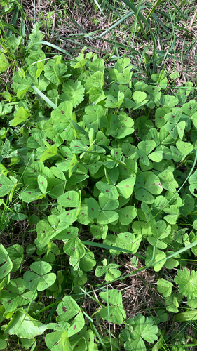
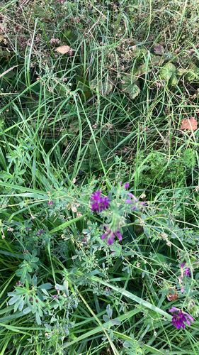
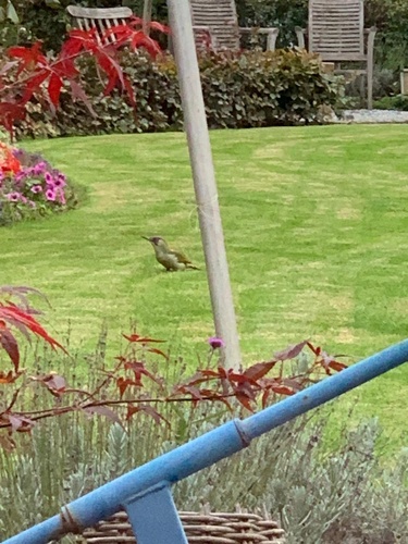
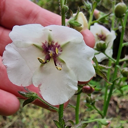
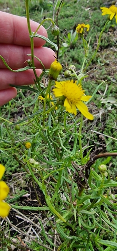
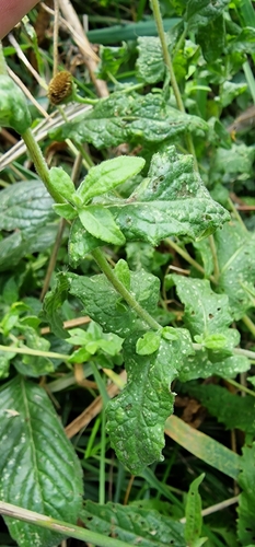
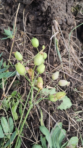
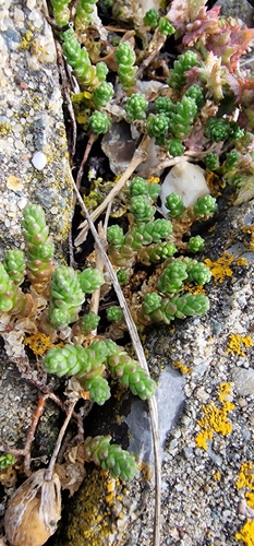
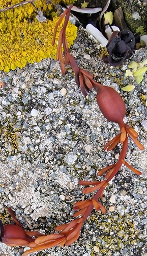
Research-grade observations from iNaturalist (within ~15 mi).
Events
Gallery
Official Identifiers
CBS — Statistics Netherlands
- CBS code
- 0729
- Population (Wikidata)
- 570
- Wikidata
- Q41025252
Gemeente codes via Wikidata P382
Sources
- • Wikipedia
- • Wikidata
- • iNaturalist
- • Open-Meteo / sunrise-sunset.org
- • Wikipedia Pageviews API
- • Open Library
- • CBS — Statistics Netherlands, municipality code via Wikidata P382
- • CBS — Statistics Netherlands — Gemeente codes via Wikidata P382