Browse / Netherlands / Zeeland / Krabbendijke
Krabbendijke
Zeelandvillage

Krabbendijke
Total population
4,368
Demographic figures from CBS Netherlands. Overview below cites Wikipedia and may reference a different year.
City facts
Overview
Krabbendijke is a village in the Dutch province of Zeeland. It is located in the municipality of Reimerswaal, about 6 km southeast of the town of Kruiningen.
Read more on WikipediaHistory & geography
History
The village was first mentioned in 1187 as Crabbendic. The etymology is unclear. The original village was flooded in 1530 during the Saint Felix Flood. The current village developed after the Nieuw Krabbendijkepolder was created in 1592. The Dutch Reformed church is a T-shaped church with wooden tower. It was built in 1914 to replace its 17th-century predecessor. The church was damaged by war in 1944. The café-restaurant De Koophandel is a 17th-century building with mansard roof. The front dates from 1953. Up to 1662, it was also used as church, and in 1881 a separate room was created for council meetings.
Excerpted from the corresponding Wikipedia article (CC BY-SA).
Geography
Coordinates & boundaries from the US Census TIGER/Line shapefiles.
Climate
Air quality
Walkability
Amenities nearby
Wildlife & biodiversity
Earthquake history
Photos
Sights & places nearby
Notable people from here


People born within ~10 km, from Wikidata (CC0). Click any name for their Wikipedia article.
Nearby places in Zeeland
- Oostdijk1.7 mi away · pop. 604
- Waarde2 mi away · pop. 1,404
- Rilland3.2 mi away · pop. 3,126
- Kruiningen3.6 mi away · pop. 4,501
- Hansweert4.8 mi away · pop. 1,641
- Walsoorden4.9 mi away · pop. 170
- Yerseke5.2 mi away · pop. 7,165
- Schore5.3 mi away · pop. 476
- Kloosterzande6.2 mi away · pop. 3,135
- Lamswaarde6.5 mi away · pop. 780
- Ossenisse6.5 mi away · pop. 310
- Graauw6.9 mi away · pop. 965
Geography & sun
Elevation, sunrise/sunset and daylight from Open-Meteo. Solar climatology from NASA POWER.
Nearby airports
Public attention
Pageview totals from the Wikimedia Pageviews API.
Books about this place
Recent natural events nearby
Ground air-quality sensors
Recently spotted species
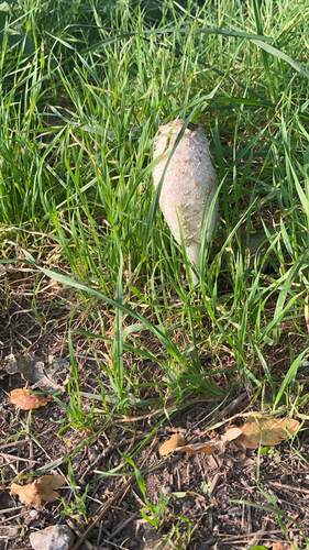
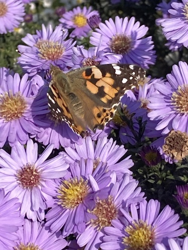
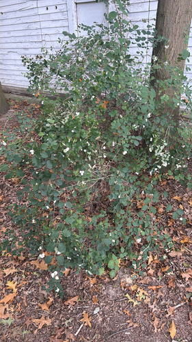
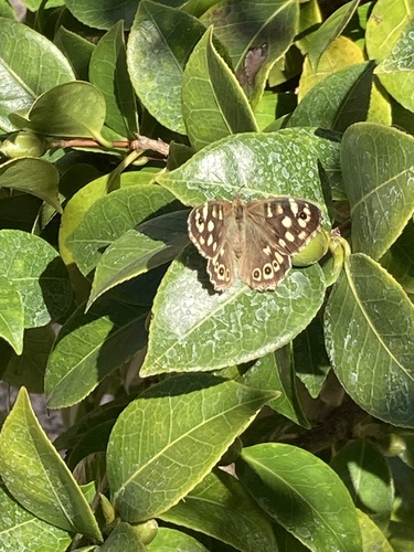
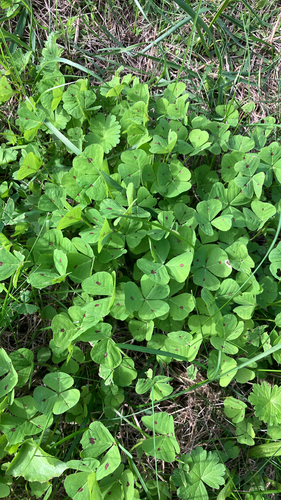
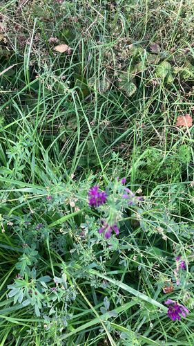
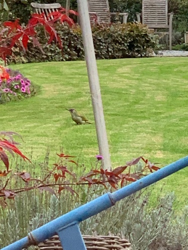
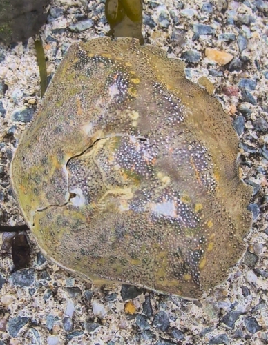
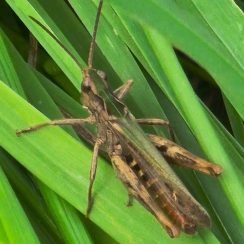
Research-grade observations from iNaturalist (within ~15 mi).
Events
Gallery
Official Identifiers
CBS — Statistics Netherlands
- CBS code
- 0684
- Population (Wikidata)
- 409
- Wikidata
- Q41022973
Gemeente codes via Wikidata P382
Sources
- • Wikipedia
- • Wikidata
- • iNaturalist
- • Open-Meteo / sunrise-sunset.org
- • Wikipedia Pageviews API
- • CBS — Statistics Netherlands, municipality code via Wikidata P382
- • CBS — Statistics Netherlands — Gemeente codes via Wikidata P382