Browse / Netherlands / South Holland / Maasdam
Maasdam
South Hollandvillage

Maasdam
Total population
3,274
Demographic figures from CBS Netherlands. Overview below cites Wikipedia and may reference a different year.
City facts
Overview
Maasdam is a village in the Dutch province of South Holland. It is located about 14 km south of the city of Rotterdam, in the municipality of Hoeksche Waard, on the rural Hoeksche Waard island. From the 14th Century until around 1800, Maasdam was also the name of the local administrative area, the fief and later the "ambacht".
Read more on WikipediaHistory & geography
History
Maasdam was founded in the 13th Century in an area which at the time was part of the County of Holland, a state within the Holy Roman Empire. The current village covers areas that were separated by the river Maas until a permanent dam was built around 1270, from which the village took its name. However, archaeological findings have indicated that the area hosted significant human habitations as early as the start of the Roman Flavian dynasty. Excavations in several locations have suggested that there was a large Roman settlement in the Maasdam area (on the northern shore of the river) probably from around 70 AD. Remains have been found of Roman roads, a bridge, a burial field, a harbor complex and even a Roman version of a dam in the river Maas suggesting that it was seen as a location of strategic importance on the North Western border of the Roman Empire. The more permanent foundation of "the Maasdam" around 1270 created a connection between the areas known as Poelwijk in the Tiesselijnswaard (north of the river) and Weede in the Grote Hollandse Waard (south of the river). The establishment of the Maasdam took place during the reign of Floris V. It was part of the establishment of the Grote Hollandse Waard which in itself was part of the long term policy of land reclamation by the Counts of Holland (since the reign of William I) who saw it as a way to strengthen their political and territorial powers in the region. Maasdam was founded nearby a substantial castle on the banks of the river Maas, the remaining foundations of which were discovered in 1958 in a parcel of land near the road in Maasdam known as "Kromme Elleboog". For a long time, it was assumed that the ruins in Maasdam were those of the castle Duivestein. However, it has more recently been suggested…
Excerpted from the corresponding Wikipedia article (CC BY-SA).
Geography
Coordinates & boundaries from the US Census TIGER/Line shapefiles.
Climate
Air quality
Walkability
Amenities nearby
Wildlife & biodiversity
Earthquake history
Photos
Sights & places nearby
Notable people from here
Nearby places in South Holland
- Puttershoek1.1 mi away · pop. 6,910
- Mookhoek3.1 mi away · pop. 457
- Mijnsheerenland3.1 mi away · pop. 4,486
- Strijen3.3 mi away · pop. 7,861
- Westmaas3.7 mi away · pop. 2,050
- Zwijndrecht3.9 mi away · pop. 40,635
- Heinenoord4.2 mi away · pop. 3,591
- Rijsoord4.5 mi away · pop. 2,995
- Barendrecht4.7 mi away · pop. 48,344
- Hendrik-Ido-Ambacht5 mi away · pop. 29,730
- Klaaswaal5.1 mi away · pop. 4,055
- Strijensas5.3 mi away · pop. 476
Geography & sun
Elevation, sunrise/sunset and daylight from Open-Meteo. Solar climatology from NASA POWER.
Nearby airports
Public attention
Pageview totals from the Wikimedia Pageviews API.
Books about this place
Recent natural events nearby
Ground air-quality sensors
Recently spotted species
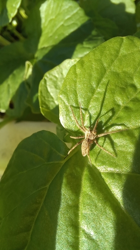
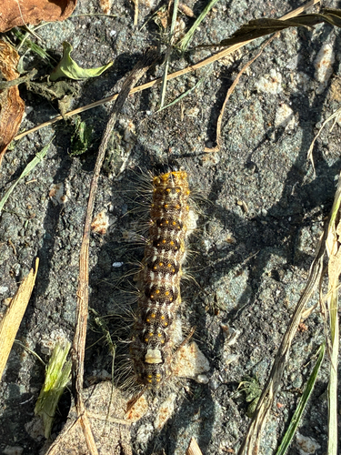
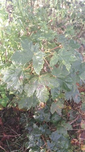
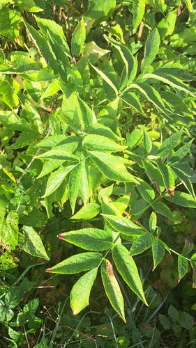
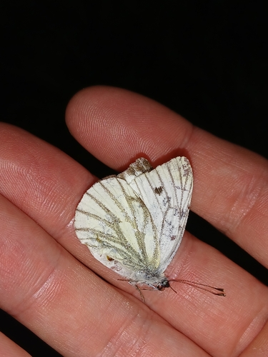
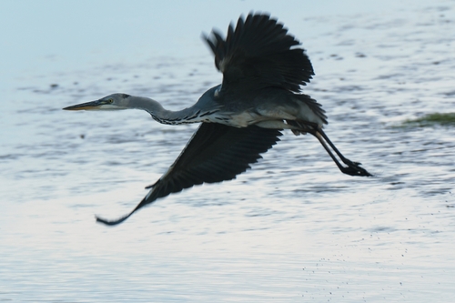
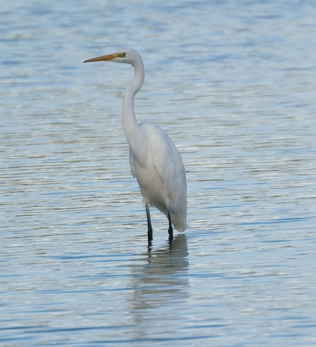
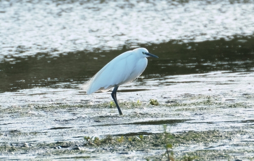
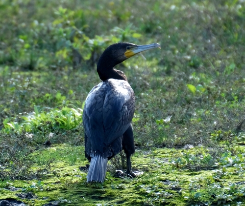
Research-grade observations from iNaturalist (within ~15 mi).
Events
Gallery
Official Identifiers
CBS — Statistics Netherlands
- CBS code
- 0554
- Population (Wikidata)
- 420
- Wikidata
- Q2124272
Gemeente codes via Wikidata P382
Sources
- • Wikipedia
- • iNaturalist
- • Open-Meteo / sunrise-sunset.org
- • Wikipedia Pageviews API
- • CBS — Statistics Netherlands, municipality code via Wikidata P382
- • CBS — Statistics Netherlands — Gemeente codes via Wikidata P382